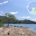
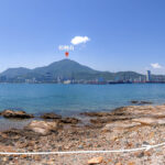
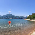
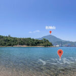
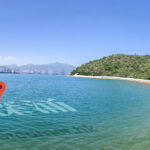
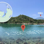
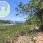
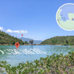
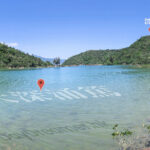
The sea area between Sam Go Tsui and Cheung Pai Tau was originally known as “Tai Sham Chung (大深涌)”, while the area closer to the shore was called “Tai Sham Chung Tuk” or “Cheung Pai Tau Tuk.” In recent years, commercial fishery operators constructed embankments to cut off the seawater, converting the area into fish farming ponds, which they named “Chuk Yue Tong” (literally “Fish Catching Pond”). The sea area located on the southern side of Sham Kok Po Kok is referred to as “Sham Kok Po.” As for Cheung Shek Tsui, it was originally a curved islet connected to the mainland by a rocky causeway. Under normal conditions, it is possible to walk across this rocky strip to reach the islet; however, when the tide rises, the causeway becomes submerged, isolating the islet completely. Consequently, people generally refer to the broader, more rounded eastern section of the islet as “Cheung Shek Tsui,” while the coastal rocky strip is known as “Shui Yam Tsui” (literally “Submerged Spit”). A corner on the southern side of Shui Yam Tsui is called “Sheung Kok Tsui.” Additionally, according to residents of So Lo Pun Village, there is another location named “Kau Lei Tsui” situated between “Shue Kan Tsui” and “Cheung Shek Tsui.” However, its exact location cannot be verified; it might be a curved corner on the northwestern side of the Cheung Shek Tsui islet, but this remains unconfirmed to this day. (Original text from: https://www.hkfca.org.hk/ne/03.htm)