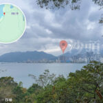
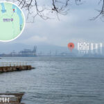
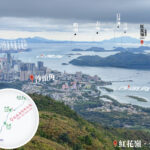
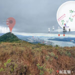
🌊 【Sea】 Hong Kong is a city nurtured by the 🌊 ocean, boasting a jagged and winding coastline of over 1,180 kilometres, with approximately 60% of its total area consisting of water, cradled within the embrace of the South China Sea. Stretching from the Shenzhen River and Deep Bay in the north, to Tolo Harbour and Sai Kung Sea in the east, and down to Victoria Harbour and the waters surrounding Lantau Island in the south, the ocean has not only sculpted Hong Kong’s geographical landscape but has also become the lifeblood of the city’s culture and economy.—
📌 Basic Marine Data
Item Data / Features 🌊 Water Area 1,640.40 km² 🏞️ Land Area 1,114.57 km² 📐 Total Area Water: 1,640.40 km², Land: 1,114.57 km², Totaling: 2,754.97 km² 🌀 Length of Coastline Approx. 1,180 km, highly indented with numerous bays 📊 Proportion of Water 59.7% ⚓ Major Harbours & Bays Victoria Harbour, Tolo Harbour, Deep Bay 🏝️ Number of Islands Hong Kong comprises 261–263 islands in total 🌏 Largest Island Lantau Island, with an area of 148.40 km² 🧭 Southernmost Point Po Toi Island, facing the South China Sea, known as the “Southern Gateway of Hong Kong” 🔎 Deepest Seabed Lo Chau Mun (Beaufort Channel), approx. 66 m —
⚓ Marine Geographical Characteristics
- Deepest Seabed: Lo Chau Mun, approximately 66 m deep.
- Tidal Datum: Mean sea level is about 1.3 m above the Principal Datum.
- Marine Buoyage System: Adopts the IALA Maritime Buoyage System (Region A), with “red to port and green to starboard” to ensure navigational safety.
—
🛶 Ocean and Humanity
- Economic Role: Hong Kong stands as one of the busiest ports globally, with its waters facilitating shipping, fisheries, and tourism.
- Cultural Symbol: The harbour and coastline have uniquely sculpted the city’s image as the “Pearl of the Orient”.
- Conservation Areas: Multiple Marine Parks have been designated, such as Hoi Ha Wan in Sai Kung, to safeguard coral communities and marine ecosystems.
—
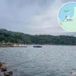
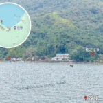
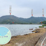
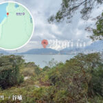
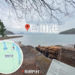
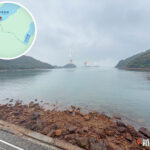
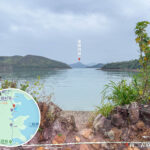
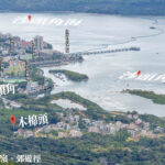
🏝️ Major Harbours, Bays and Waters
- Victoria Harbour
- Spans an area of approximately 41.11 km².
- The most iconic harbour of Hong Kong, connecting Hong Kong Island and the Kowloon Peninsula.
- Tolo Harbour
- An embayment in the northeastern New Territories, adjacent to The Chinese University of Hong Kong.
- Sai Kung Sea
- Renowned for its marine parks and island clusters, including Kau Sai Chau and Sharp Island (Chiu Keng Chou).
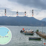
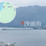
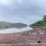
- Deep Bay (Hou Hoi Wan)
- Situated in the northwestern New Territories, bordering Shenzhen, featuring a rich mangrove ecosystem.
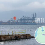
- Urmston Road (Lung Kwu Shui Do)
- The water channel north of Lantau Island, serving as a vital shipping artery.
—
⚓ Marine Characteristics and Navigation
- Marine Buoyage System: Adopts the IALA Maritime Buoyage System Region A (red to port, green to starboard) to guarantee safe navigation.
- Mean Sea Level: Situated approximately 1.3 m above the Hong Kong Principal Datum.
- Chart Datum: Situated 0.15 m below the Hong Kong Principal Datum.
—
🌐 Significance and Culture
- Transport Arteries: Hub ports, shipping routes, and cross-boundary waterways.
- Cultural Symbols: Fishing villages, typhoon shelters, and seafood culture.
- Biodiversity: Mangroves, coral communities, and wetlands.
- Tourism Hotspots: Sai Kung Marine Parks, Lamma Island, and Lantau Island.