2025.01.26 SUN
【Hiking • 021】
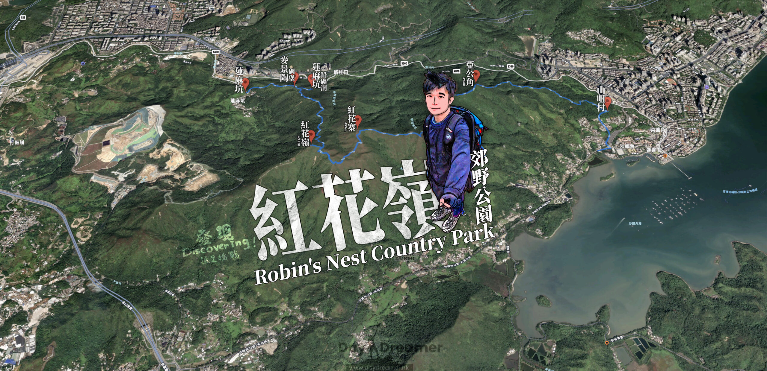
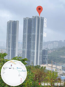
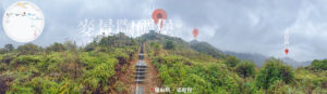
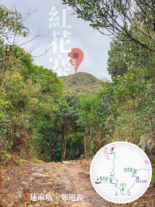
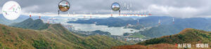
Lin Ma Hang Lead Mine . Robin’s Nest . Sha Tau Kok
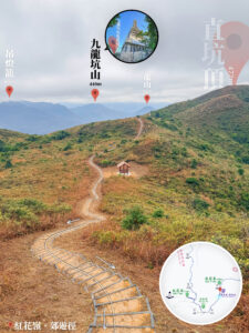
蓮麻坑 • 礦洞 . 紅花嶺 . 沙頭角
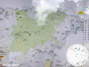
This hiking trail kicks off at Lin Ma Hang, passing through the MacIntosh Fort (Kong Shan), the Lin Ma Hang Lead Mine, Robin’s Nest, Hung Fa Chai, and Ah Kung Kok, before finally reaching Sha Tau Kok. It is a scenic yet challenging route, perfect for seasoned hikers with a bit of experience under their belt. The entire trail covers about 12km and takes roughly 5 to 6 hours to complete. With stunning views and plenty of historical sites along the way, it’s a demanding but super rewarding trek. Hope you enjoy this perfect blend of nature and history on your adventure!
Lin Ma Hang → MacIntosh Fort (Kong Shan) → Lin Ma Hang Lead Mine → Robin’s Nest → Hung Fa Chai → Ah Kung Kok → Sha Tau Kok
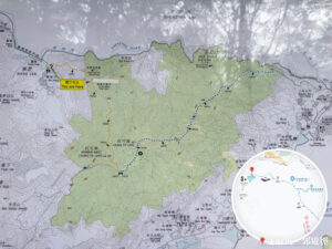
Route Overview
Lin Ma Hang → MacIntosh Fort (Kong Shan) → Lin Ma Hang Lead Mine → Robin’s Nest → Hung Fa Chai → Ah Kung Kok → Sha Tau Kok
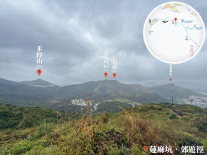
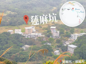
【Start】 Starting from Lin Ma Hang, this hiking route takes you through an area rich in history and stunning natural scenery. Lin Ma Hang Village is a peaceful little village famous for its long heritage and pastoral vibes. After hopping off the minibus at the village entrance, follow the winding mountain paths uphill. You’ll soon reach the MacIntosh Fort. Built in the early 20th century, this fort stood witness to the turbulent years of that era. The surrounding military relics and mine shafts really give you a sense of the weight of history.
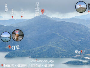
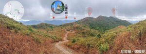
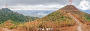
【Mid-Section】 Pushing on, you’ll enter the Lin Ma Hang Lead Mine area. This spot was once a major lead mining hub in Hong Kong and has now transformed into a destination full of adventure. Inside these ancient shafts, you can still see traces of the miners’ hard work and imagine them hustling away in the dark. Once you leave the mines, head towards the next landmark: Robin’s Nest. It is famous for its breathtaking landscapes and rich ecosystem. Here, you can check out various local flora and fauna while soaking in the great outdoors. Continue trekking to reach Hung Fa Chai, a picturesque high point that overlooks the entire Robin’s Nest area—the perfect spot for a breather and some photos.
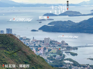
【Finish】 After crossing Hung Fa Chai, follow the ridgeline and you’ll quickly arrive at A Kung Kok. Though it’s a quiet little peak, the open sea views are absolutely refreshing, offering a bird’s-eye view of Sha Tau Kok and the Yantian Port cityscape. After a quick break here, keep going until you reach Shan Tsui Village Road, where this journey comes to a perfect close.
Here are the reference statistics for this journey:
Transport Guide
START
MTR East Rail Line – Sheung Shui Station
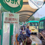
- You can take 《Green Minibus 59A》 directly from Sheung Shui Station to Lin Ma Hang Village.
END
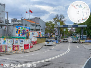
Sha Tau Kok Road, Tai Chung Au Section
- You can take 《Green Minibus 59A》 to head back to Sheung Shui Station.


Route Breakdown
🚩
Start
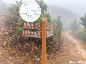
《Lin Ma Hang → Lin Ma Hang Lead Mine → Robin’s Nest》
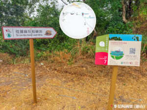
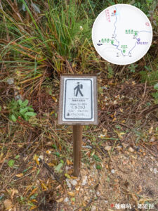
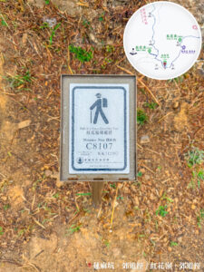
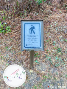
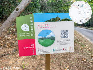
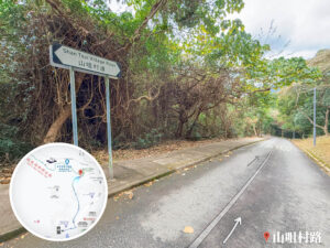
1. 📍 Start: Lin Ma Hang Country Trail, Entrance
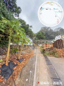
Lin Ma Hang, Entrance
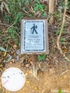
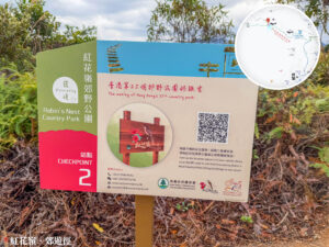
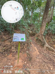
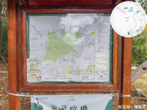
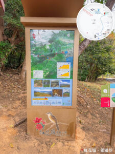
2. 📍 Discovering Robin’s Nest – Station. VIII

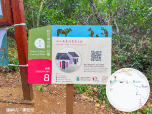
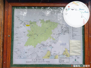
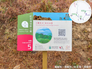
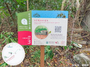
Robin’s Nest Country Park – Map Information Board
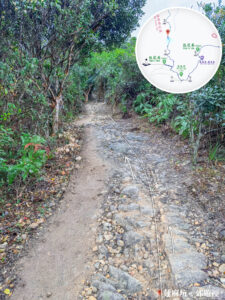
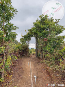
3. 📍 Lin Ma Hang Country Trail 《I》
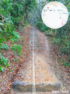
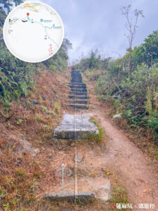
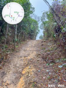
Uphill Section 《I》
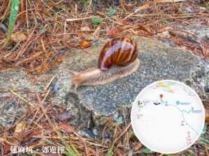
4. 📍 Lin Ma Hang Country Trail – Short Trig Station


The Charred Hillside
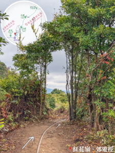
5. 📍 Lin Ma Hang Country Trail 《II》


Looking up at MacIntosh Fort
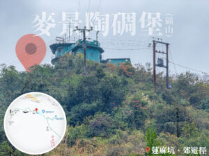
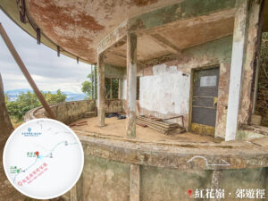
6. 📍 MacIntosh Fort (Kong Shan) / Discovering Robin’s Nest – Station. VII

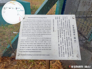
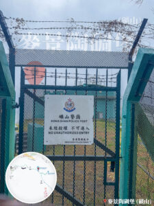

MacIntosh Fort (Kong Shan)
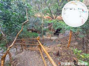
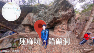
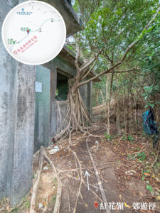
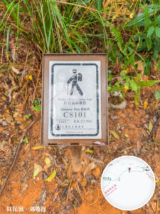
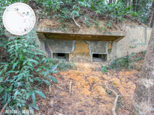
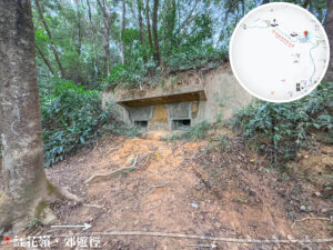
7. 📍 Lin Ma Hang Lead Mine, Entrance / Discovering Robin’s Nest – Station. VI


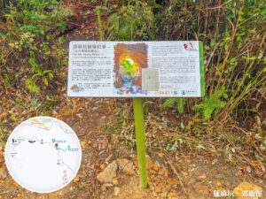
Lin Ma Hang Lead Mine, Entrance
Just a few steps past the fort, you’ll arrive at the Entrance of Lin Ma Hang Lead Mine.
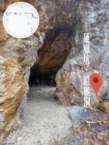
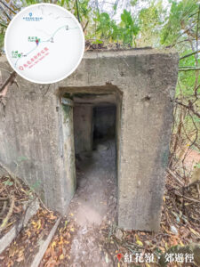
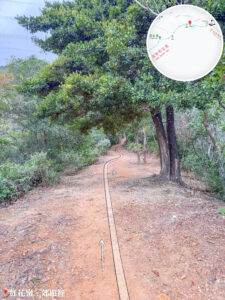
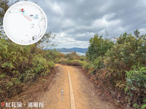
8. 📍 Lin Ma Hang Country Trail 《III》

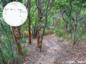
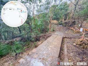
The Path of Lin Ma Hang Lead Mine
Head through the entrance and follow the downhill path for a bit, and the mine shafts will come into view.
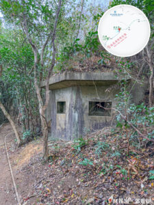
9. 📍 Lin Ma Hang Lead Mine
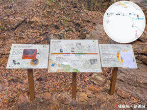
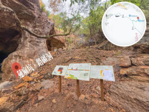
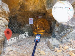
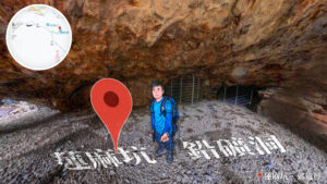
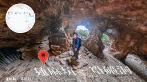
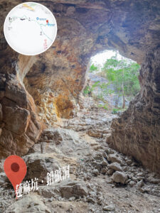
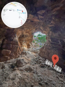
Lin Ma Hang Lead Mine
📸 Fun Fact:
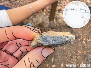
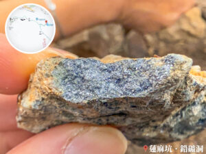
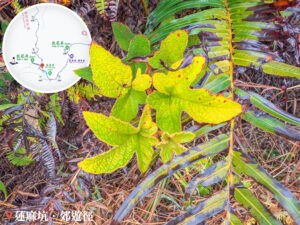
- The Lin Ma Hang Lead Mine (蓮麻坑鉛礦洞) is a major historical site located within Robin’s Nest Country Park. It was once one of the largest lead mines in Hong Kong, primarily producing galena. It hit its peak in the 1930s with nearly 2,000 workers. Following WWII and a drop in global lead prices, the mine was gradually abandoned and officially shut down in 1962.
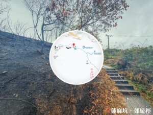
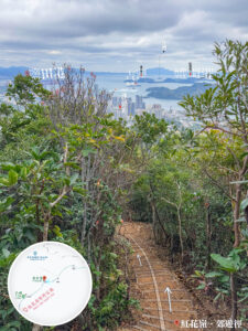
10. 📍 Lin Ma Hang Country Trail 《IV》


Uphill Section 《II》
After checking out the Lin Ma Hang Lead Mine, backtrack to the main trail and keep pushing toward the next stop: Robin’s Nest (紅花嶺).
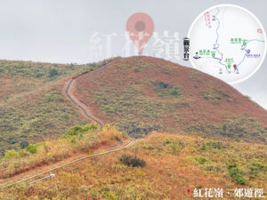
11. 📍 Lin Ma Hang Country Trail 《V》

Looking up at Hung Fa Chai
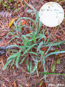
12. 📍 Lin Ma Hang Country Trail 《VI》


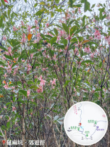


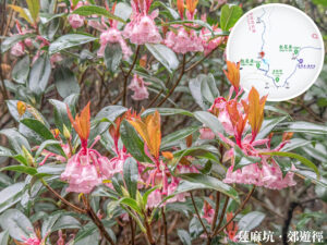

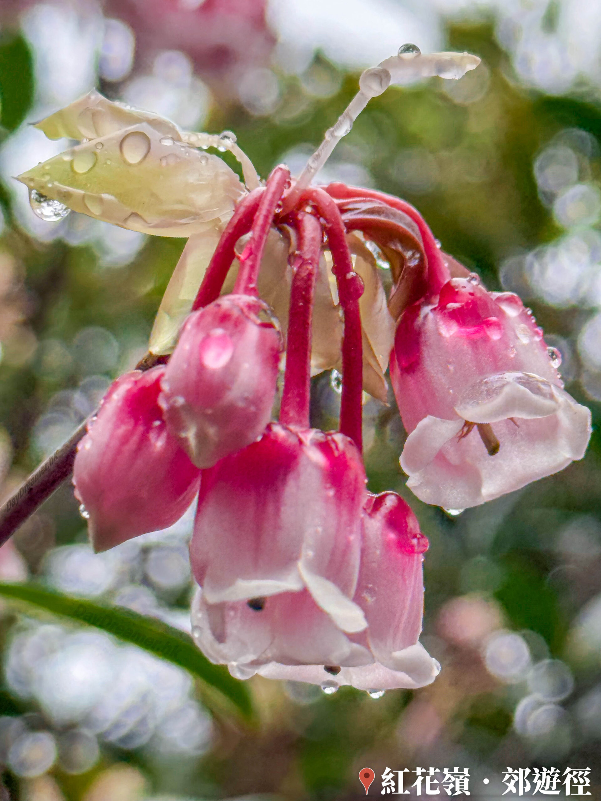
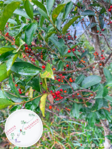
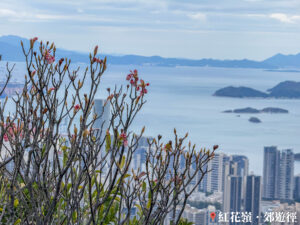
Chinese New Year Flower, Enkianthus 《I》
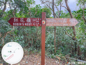
13. 📍 Robin’s Nest – Ascent Entrance
Robin’s Nest – Ascent Entrance
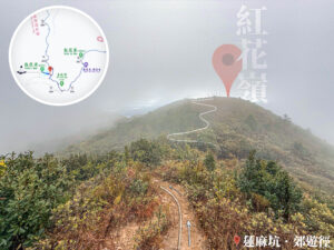
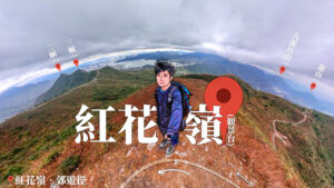
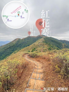
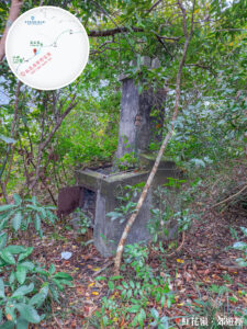
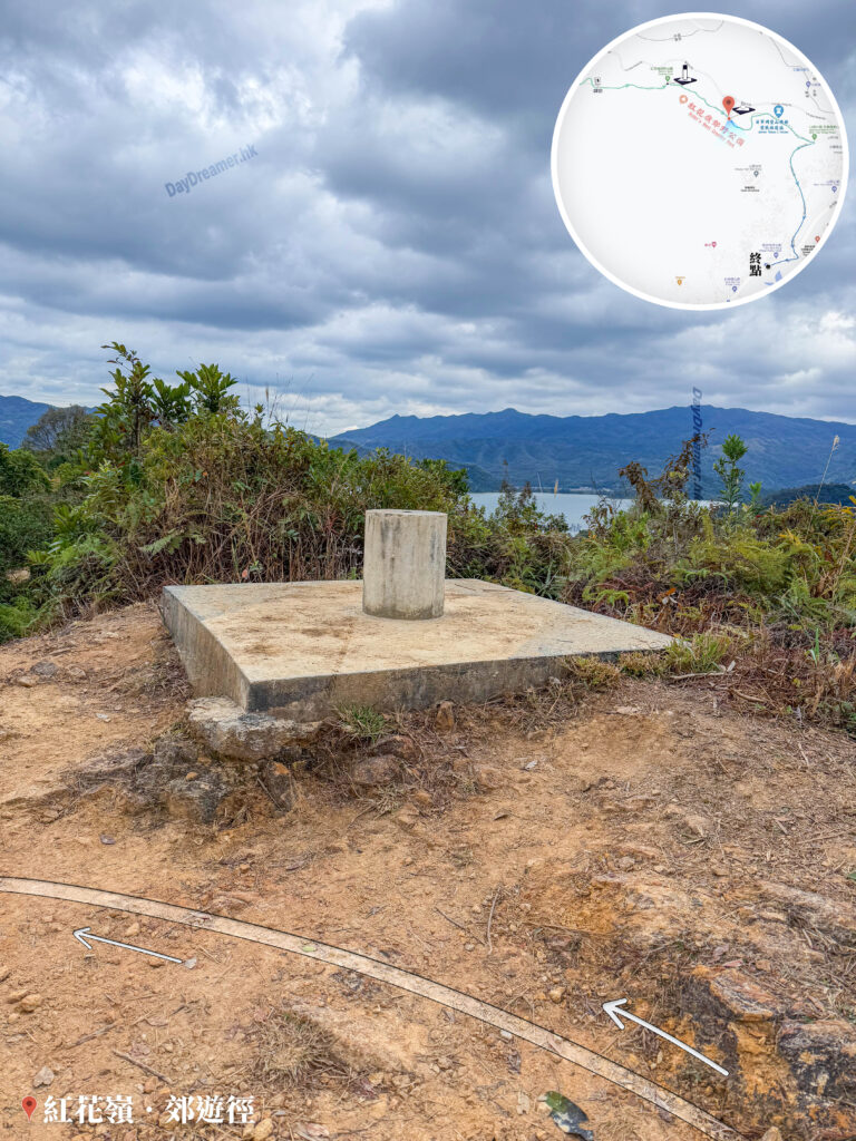
14. 📍 Robin’s Nest – Trig Station
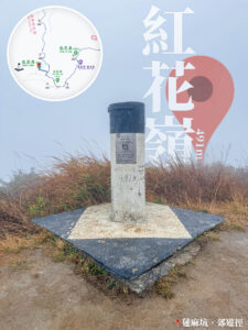

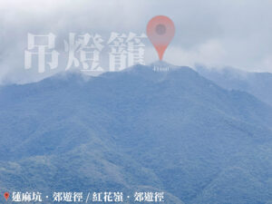
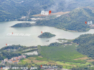
Robin’s Nest (紅花嶺)
📷 Fun Fact:
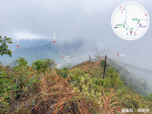
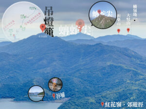
- Robin’s Nest (紅花嶺) is one of the highest peaks in the Northern District of the New Territories, standing at 492 meters. The terrain consists of rolling ridges, with the northern slopes featuring secondary forests and shrubland, while the southern slopes are mostly upland grasslands. This diverse landscape provides a great habitat for local biodiversity, making it a hotspot for hikers.
Route Breakdown
🏁
Finish
《Robin’s Nest → Ah Kung Kok → Shan Tsui Village》
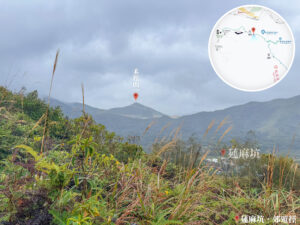
15. 📍 Lin Ma Hang Country Trail 《VII》
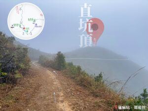

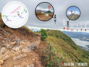
Chik Hang Teng (直坑頂)
📷 Fun Fact:
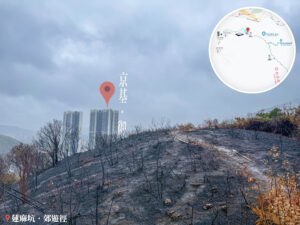
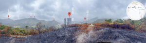
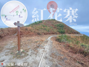
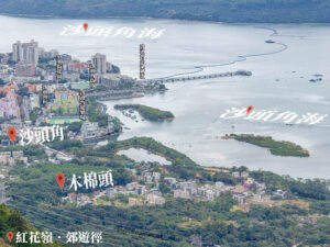
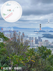
- Chik Hang Teng (直坑頂) sits at about 487m within the Country Park. The terrain is quite steep, making it a popular challenge for local hikers. The summit offers a killer view of the coastline stretching from Sha Tau Kok (沙頭角) to Shenzhen (深圳).
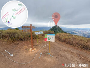
16. 📍 Lin Ma Hang / Robin’s Nest Country Trail – Junction / Discovering Robin’s Nest – Station. V


Junction: Lin Ma Hang / Robin’s Nest Country Trail
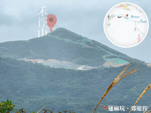
17. 📍 Robin’s Nest Country Trail 《I》


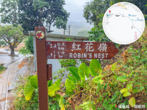
Robin’s Nest
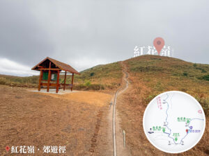
18. 📍 Robin’s Nest Viewing Point


Robin’s Nest Viewing Point
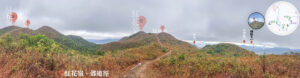
19. 📍 Hung Fa Chai
Hung Fa Chai
20. 📍 Robin’s Nest Country Trail 《II》

Hung Fa Chai, Mid-hill Path
21. 📍 Discovering Robin’s Nest – Station. IV
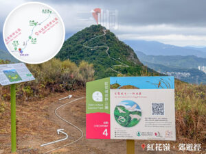


『Discover Robin’s Nest Country Park』 – Hiking Challenge
22. 📍 Robin’s Nest Country Trail 《III》

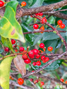

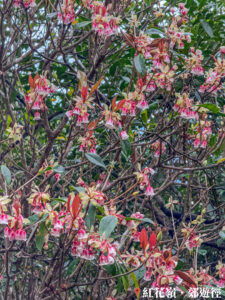
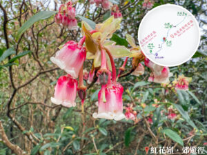


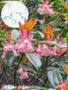
Robin’s Nest, Chinese New Year Flowers《II》
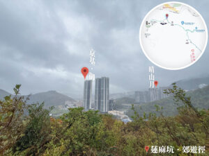
23. 📍 A Kung Kok / Discovering Robin’s Nest – Station. III


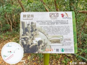
A Kung Kok Lookout
📷 Fun Fact:
- The A Kung Kok Lookout is located in the Sha Tau Kok area. Since this was once a restricted military zone, the area is dotted with relics like pillboxes and barracks. It’s a prime spot for photographers looking for epic sea views.
24. 📍 Robin’s Nest Country Trail 《IV》


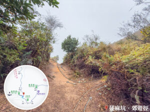
Downhill Section 《I》
25. 📍 Robin’s Nest Country Trail 《V》
Downhill Section 《II》
26. 📍 Discovering Robin’s Nest – Station. II

Discovering Robin’s Nest – Station. II
Besides being Station. II, you’ll also find another trig station here.
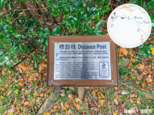
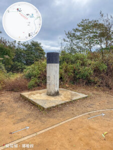
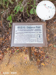
27. 📍 Robin’s Nest Country Trail – Short Trig Station
Robin’s Nest Country Trail – Short Trig Station
Here, we see another one of these strange – Short Trig Station. I wonder what the purpose of such a distance post is?
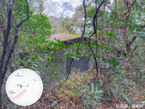
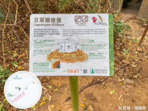
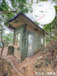
28. 📍 Shan Tsui Village Road , Japanese Pillbox Hill

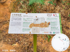
Japanese Pillbox Hill
Heading down from the trig station, you’ll run into a pillbox. Turns out, this was a machine-gun nest built by the Japanese army.
📷 Fun Fact:
- During WWII, after occupying HK in 1941, the Japanese army built fortifications around Shan Tsui Village (山咀村) to ward off guerilla attacks. This pillbox is one of the best-preserved of its kind in HK, featuring a well, observation posts, and gun mounts inside.
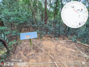
29. 📍 Robin’s Nest Country Trail – Entrance / Discovering Robin’s Nest – Station. I

The Entrance of Robin’s Nest Country Trail
After passing the pillbox, you’ll reach the foot of the hill, which is the official entrance (or exit for us!) of the Robin’s Nest Country Trail.
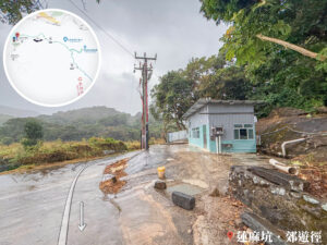
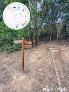
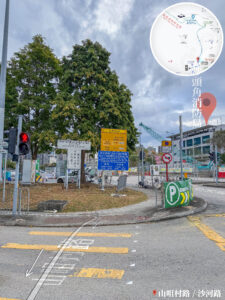
30. 📍 Shan Tsui Village Road

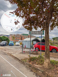
Shan Tsui Village Road
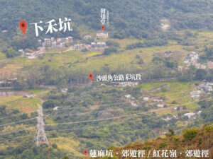
Follow Shan Tsui Village Road (山咀村路) toward Ha Tam Shui Hang Village (下担水坑村) along the paved road.
31. 📍 Finish: Sha Tau Kok Road, Shek Chung Au Section
Sha Tau Kok Road, Shek Chung Au Section
Reaching the entrance of Ha Tam Shui Hang Village marks the end of the trip! Cross the road to Sha Tau Kok Road (沙頭角公路) and catch 《Green Minibus 55K》 back to MTR Sheung Shui Station