2026.01.31 SUN 【山道行 • 022】
Lai Chi Wo . So Lo Pun . Yung Shue Au
New Territories Northeast Ancient Villages Hike: 荔枝窩 . 鎖羅盆 . 榕樹凹

This hiking route kicks off from Wu Kau Tang, passes through Sam A Tsuen, Lai Chi Wo, So Lo Pun, Yung Shue Au, and Kuk Po, before finally wrapping up at Luk Keng—it honestly feels like a journey through time. The starting points at Wu Kau Tang and Sam A Tsuen still retain their strong, traditional Hakka old-village vibes, where the old stone paths and crystal-clear streams give you a real taste of the old-school farming life. Moving on to Lai Chi Wo, you get a beautiful mix of culture and nature with its century-old trees, stone-paved alleys, and lush mangroves. As you hike up towards So Lo Pun and Yung Shue Au, the views start opening up, treating you to stunning vistas of valleys and bays. Coming down into Kuk Po, the wetlands and fish ponds interlock, teeming with birds and showcasing how humans and nature vibe together perfectly. Finally, you reach Luk Keng, where the bay glistens under the sunset, bringing this poetic journey to a perfect close.

Route:

Wu Kau Tang → Sam A Tsuen → Lai Chi Wo → So Lo Pun → Yung Shue Au → Kuk Po → Fung Hang → Luk Keng

Duration
8.1 hrs
Distance
20 km
Highest Point
116 m
Difficulty
3 ⭐️
Explore the Route
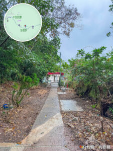
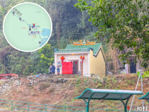
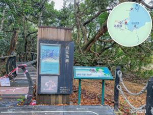
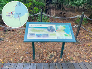
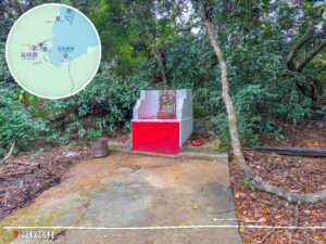
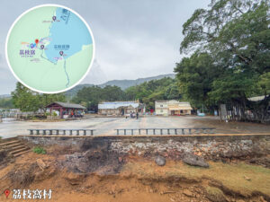
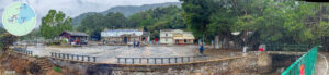
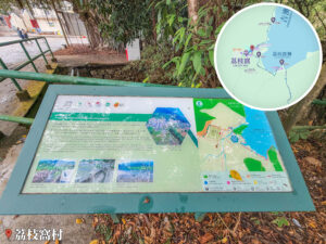
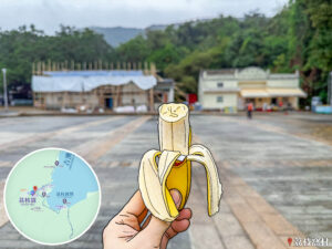
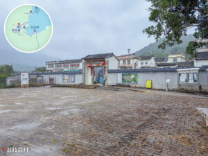
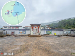
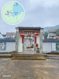
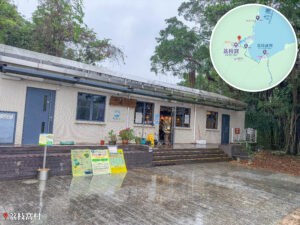
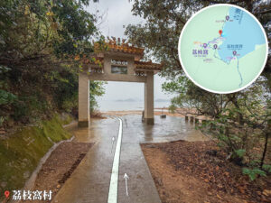
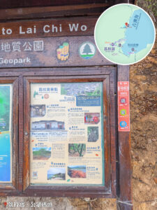
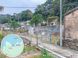
這張照片拍攝於香港新界東北的荔枝窩村。畫面中央正對著荔枝窩村的東門入口,門樓上刻有字樣並掛有紅燈籠,兩側延伸出白牆灰瓦的傳統圍牆,牆面上設有解說看板;前方為寬廣開闊且帶有歲月痕跡的石磚廣場。左上角疊加了荔枝窩周邊的局部導覽地圖,左下角標註「荔枝窩村」地標,為遠足者提供極具正面視野的歷史古蹟記錄與精確地理定位。

Route Overview

Wu Kau Tang → Sam A Tsuen → Lai Chi Wo → So Lo Pun → Yung Shue Au → Kuk Po → Fung Hang → Luk Keng


【Start】 tarting from Wu Kau Tang, you’ll head along the ancient trail toward Sam A Tsuen. This section is all about rustic village vibes and Hakka heritage. Wu Kau Tang itself is a famous Hakka settlement, home to well-preserved old houses and stone-paved paths. As you walk into Sam A Tsuen, you can really feel the traces of the old-school farming life. With lush canopy overhead and crystal-clear streams running alongside, the start of the hike sets a perfectly chilled tone, blending rich culture with scenic nature.


【Mid-section】 Continuing from Sam A Tsuen toward Lai Chi Wo, you’ll reach one of the few remaining intact Hakka villages in Hong Kong. The ancient trees and stone walls at the village entrance are seriously impressive. Lai Chi Wo is also a major geological and ecological hotspot, where mangroves, intertidal flats, and diverse bird species thrive together. Moving on to So Lo Pun, the terrain gets a bit higher and the view opens up, offering a great vantage point overlooking the bay and valleys. Next up is Yung Shue Au, a mountain pass surrounded by dense woods—making it a perfect pit stop and a key transition to the final leg of the trail.


【End】 Heading downhill from Yung Shue Au, you’ll arrive at Kuk Po, which is famous for its wetlands and traditional fishing village scenery. The mix of paddies and fishponds draws in tons of birds, showing a beautiful harmony between humans and nature. Finally, you’ll reach Luk Keng, the exit of the entire trail and a major transport hub for the Northeast New Territories. The wide, open bay at Luk Keng looks incredibly poetic under the sunset, bringing a perfect end to a journey that takes you from mountain villages to wetlands, and ancient trails to the coast.

Duration
8.1 hrs
Distance
20 km
Highest Point
116 m
Scenery
3 ⭐️
Difficulty
3 ⭐️
Exposure Index
3 ⭐️
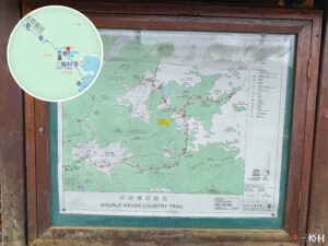
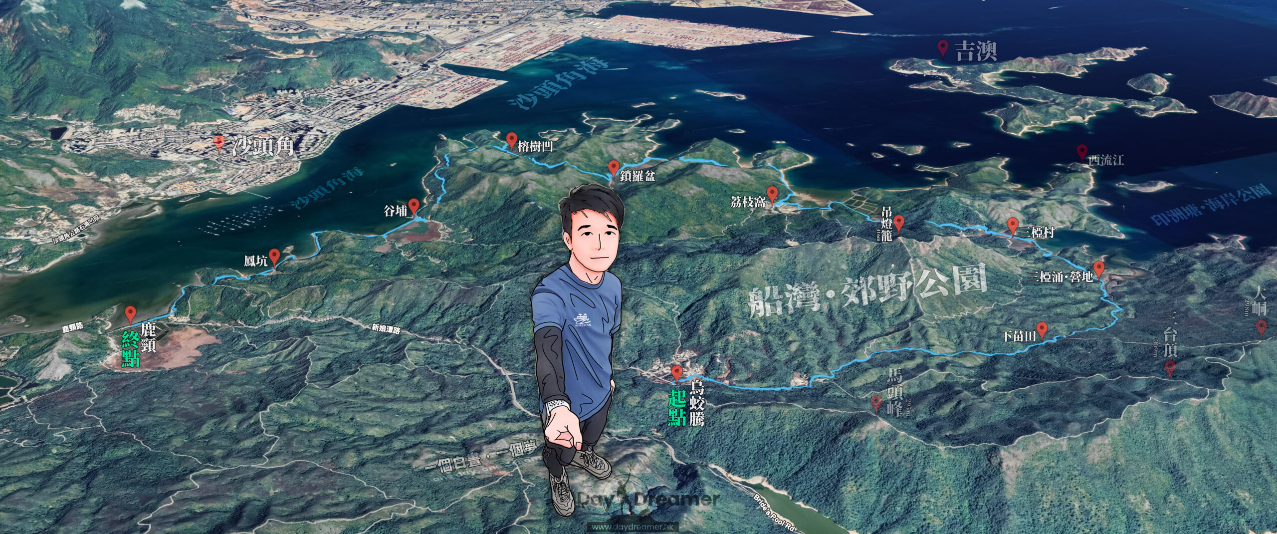
這張圖片為香港新界東北遠足路線的3D立體鳥瞰全景圖。畫面中央疊加了一名手持自拍鏡頭的插畫人物形象;地圖範圍涵蓋了船灣郊野公園、沙頭角海及印洲塘一帶,並以紅色地標與藍色線條清晰標註了起點「烏蛟騰」、終點「鹿頸」,以及沿途的荔枝窩、鎖羅盆、谷埔、鳳坑、榕樹凹、三椏村等知名鄉村與地標,為行山人士提供極具宏觀導覽與路線規劃價值的視覺檔案。

Here are the reference statistics for this journey:

Total Ascent
640 m
Total Descent
731 m
Moving Speed
2.9 km/h
Average Speed
2.6 km/h
Moving Time
7.2 hrs
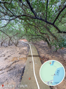
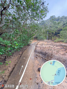
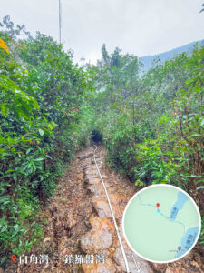
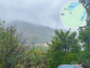
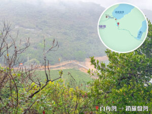
Total Journey Time
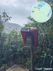
8.1 hrs

Transport Guide

START

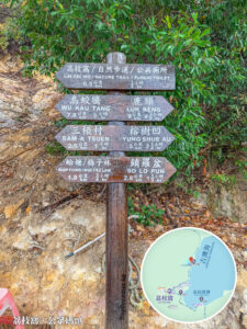
🚩

MTR East Rail Line, Tai Po Market Station

  1. Take 《green minibus 20R》 to Wu Kau Tang – Bus Terminus.

MTR East Rail Line, Tai Po Market Station 🚉
👉🏻

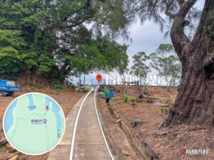
END

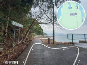
🏁

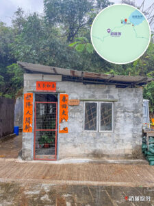
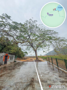
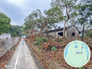
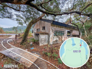
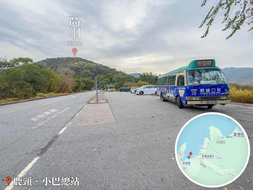
Luk Keng – Minibus Terminus

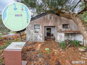
  1. The end point of this hike is Luk Keng. You can take 《green minibus 56K》 at Luk Keng Minibus Terminus to head back to the urban area at MTR Station.
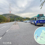
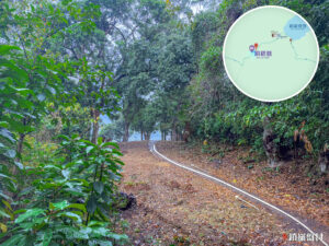
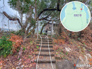
這張照片拍攝於香港新界東北的鹿頸小巴總站。畫面右側停放着一輛前往粉嶺站的56K綠色小巴;左側為寬敞的新娘潭路柏油路面,遠方山頭標註為海拔121米的高峒。畫面右下角疊加了顯示區域路徑的圓形導覽地圖,左下角標註「鹿頸 · 小巴總站」地標,為前往新界東北遠足的行山客提供極具交通樞紐參考價值與現場環境對照的實景檔案。

Route Breakdown
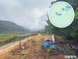
🚩 Start 《Luk Keng → Sam A Tsuen → Lai Chi Wo》

1. 📍
Wu Kau Tang Bus Terminus

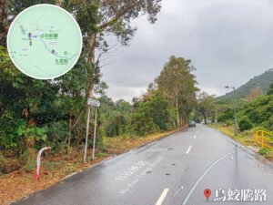
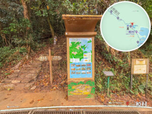
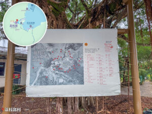
烏蛟騰巴士總站為前往新界東北多條熱門行山路線(途經九擔租、三椏村、荔枝窩、鎖羅盆、榕樹凹至鹿頸)的主要起點。圖片標示了烏蛟騰路巴士站的位置、地圖導覽牌以及前往九擔租方向的起步路徑。

Wu Kau Tang Bus Terminus

Take 《green minibus 20R》 at MTR Station to Wu Kau Tang Bus Terminus.

2. 📍
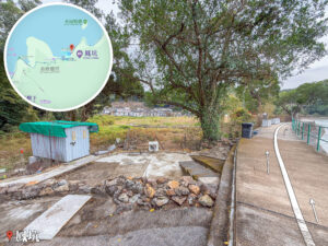
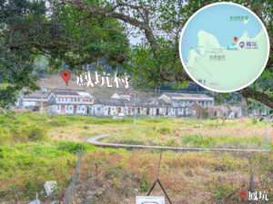
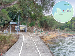
Wu Kau Tang Road

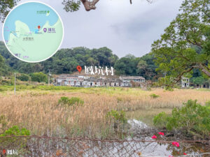
Wu Kau Tang Road

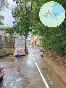
After getting off at Wu Kau Tang Bus Terminus, follow the side path along Wu Kau Tang Road and head toward .

3. 📍
Wu Kau Tang Public Toilet

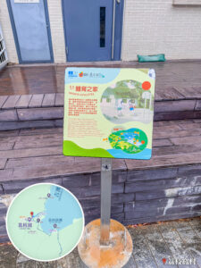
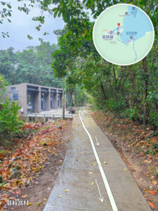
這張照片拍攝於香港新界東北烏蛟騰新屋下,展示了當地的公共廁所建築與行山路徑銜接點。公廁外牆採用現代木紋與灰色磁磚設計,是遠足者進入長途路線(如荔枝窩、鎖羅盆、谷埔至鹿頸)前的主要設施之一。照片地面標示了明確的白色轉彎箭頭,引導行山者繞過公廁順小路進入九擔租方向。右下角標有「烏蛟騰·新屋下」地標,左上角則疊加了烏蛟騰至九擔租一帶的遠足路線導覽地圖。

Wu Kau Tang Public Toilet

It’s going to be a long walk, so you can freshen up and get sorted here before kicking off today’s hike with a light heart.

4. 📍
Wu Kau Tang, San Uk Ha

Wu Kau Tang, San Uk Ha

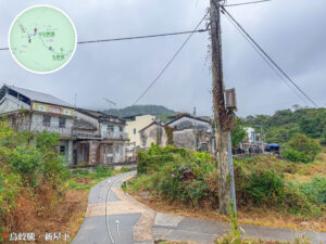
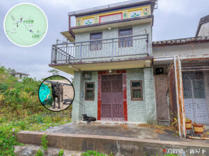
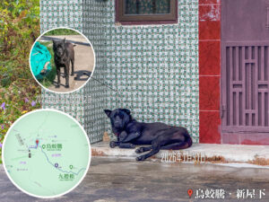
Passing the Wu Kau Tang Public Toilet, you’ll arrive at San Uk Ha Village. We spotted a dog here that looked just like “Little Black,” a pup we seemed to have met before.

5. 📍
Wu Kau Tang, Leng Pui

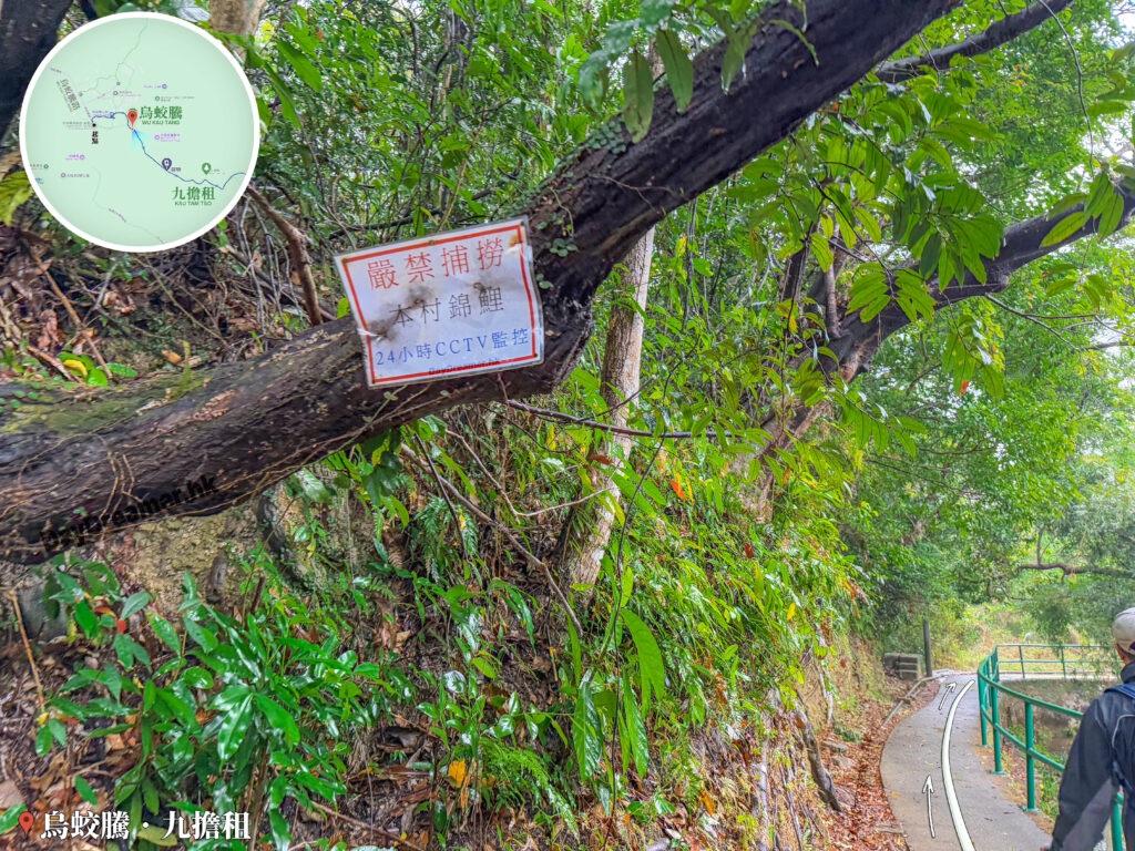
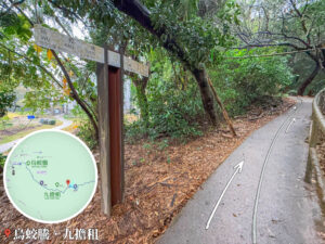
這張照片拍攝於香港新界東北烏蛟騰前往九擔租的林蔭步道上。主畫面左側為一棵傾斜生長的樹木,樹幹上貼有寫著「嚴禁捕撈本村錦鯉 24小時CCTV監控」的紅色邊框告示牌;右側則是一條沿溪修建、帶有綠色鐵欄杆的水泥步道,路面繪有白色箭頭指引行進方向。左上角疊加了烏蛟騰至九擔租路段的導覽地圖,左下角標有「烏蛟騰·九擔租」地標,展現了鄉郊步道的特殊人文規條與自然景緻。

Wu Kau Tang, Leng Pui

Head past San Uk Ha Village to reach Leng Pui. There’s a little stream running right by the path where you can spot tons of koi fish swimming around.

6. 📍
Kau Tam Tso, Sweet Gum Woods

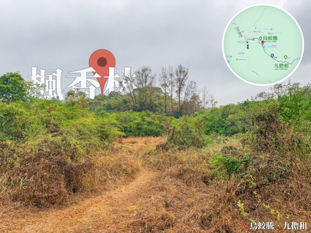
這張照片拍攝於香港新界東北烏蛟騰至九擔租的行山徑上。主畫面呈現一條開闊的黃土泥路步道,兩側佈滿低矮灌木與乾草叢,遠方山丘上生長著高聳的楓香樹林。畫面左上方標有大型「楓香林」文字與紅色地標圖示,右上角疊加了烏蛟騰至九擔租路段的路線地圖,右下角則標有「烏蛟騰·九擔租」地標。此圖片清楚標示了該路線上重要自然景觀「楓香林」的位置與現場地貌。

Kau Tam Tso, Sweet Gum Woods

After walking about 500 meters from the start, you’ll reach a famous  (九担租) landmark—the Sweet Gum Woods. The sweet gum trees here soar over 10 meters high and turn a vibrant red every year between December and January, forming a spectacular crimson screen. It’s super easy to get to, taking just a 10-minute walk.

7. 📍
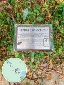
Distance Post C2701
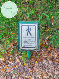
Distance Post C2701

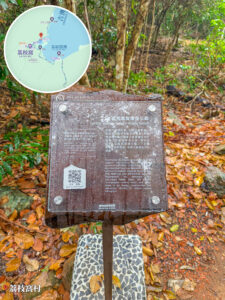
C2701 is the very first distance post on the Double Haven Country Trail. The entire main route from Wu Kau Tang to Lai Chi Wo extends all the way to C2716. Grid Ref: KK 166 912.

8. 📍
Kau Tam Tso

Kau Tam Tso

After walking for about 1 km, you’ll arrive at Kau Tam Tso (九担租). There’s a fork in the road here; just follow the trail sign and keep heading up towards the right.

9. 📍
Distance Post C2702

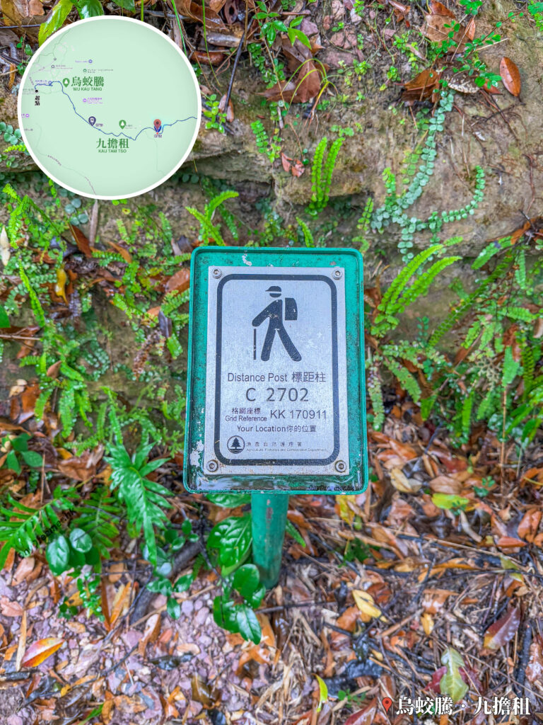
這張照片拍攝於香港新界東北烏蛟騰往九擔租/三椏村的遠足徑上,特寫主體為一支金屬標距柱(Distance Post C2702),上面清楚印有漁農自然護理署標誌及格網座標「KK 170911」。標距柱立於覆蓋著濕潤落葉與綠色蕨類植物的土路旁,左上角疊加了烏蛟騰至九擔租路段的導覽地圖,右下角則標有「烏蛟騰·九擔租」地標。此圖片為遠足者提供了精確的地理定位參考,適用於介紹印洲塘郊遊徑的里程標示與安全指南。

Distance Post C2702

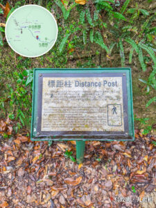
Distance post C2702 is the second distance post on the Double Haven Country Trail. Grid Ref: KK 170 911.

10. 📍
Miu Sam Ancient Trail

Miu Sam Ancient Trail

After walking for about 25 minutes and covering 1.6 km from the starting point at 【Wu Kau Tang Bus Terminus, you’ll reach the entrance of the Miu Sam Ancient Trail (苗三古道). Alternatively, you can take the upper path via the Lai Sam Ancient Trail (犁三古道)—both routes will lead you to Sam A Tsuen (三椏村).

11. 📍
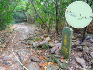
Distance Post C2703

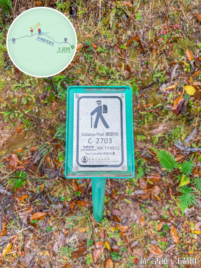
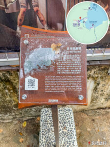
這張照片拍攝於香港新界東北苗三古道往上苗田及三椏村的遠足徑上,特寫主體為一支金屬標距柱(Distance Post C2703),上面清楚印有漁農自然護理署標誌及格網座標「KK 174912」。標距柱立於覆蓋著枯黃落葉與綠色蕨類植物的土路旁,左上角疊加了苗三古道、犁三古道與上苗田路段的導覽地圖,右下角則標有「苗三古道·上苗田」地標。此圖片為遠足者提供了精確的地理定位參考,適用於介紹印洲塘郊遊徑的里程標示與安全指南。

Distance Post C2703

Distance post C2703 is the third distance post on the Double Haven Country Trail. Grid Ref: KK 174 912.

12. 📍
Landslide Area

Landslide Area

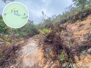
You’ll pass a section affected by a landslide. It’s a bit tricky to navigate, so everyone should watch their step and pass through slowly and carefully.

13. 📍
Distance Post C2704

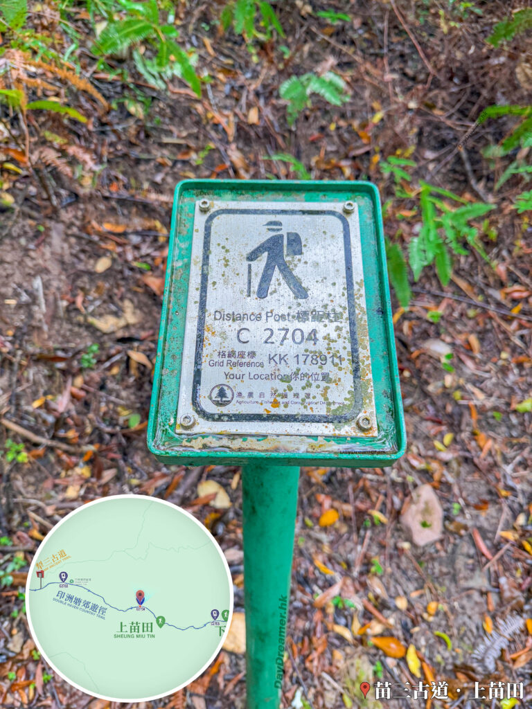
這張照片拍攝於香港新界東北苗三古道往上苗田及三椏村的遠足徑上,特寫主體為一支金屬標距柱(Distance Post C2704),上面清楚印有漁農自然護理署標誌及格網座標「KK 178911」。標距柱立於覆蓋著枯黃落葉與蕨類植物的土路旁,左下角疊加了苗三古道與上苗田路段的導覽地圖,右下角則標有「苗三古道·上苗田」地標。此圖片為遠足者提供了精確的地理定位參考,適用於介紹印洲塘郊遊徑的里程標示與安全指南。

Distance Post C2704

Grid Ref: KK 178 911.

14. 📍
Sheung Miu Tin

Sheung Miu Tin

About 46 minutes and 2.5 km into the hike from Wu Kau Tang Bus Terminus, you’ll arrive at Sheung Miu Tin (上苗田).

15. 📍
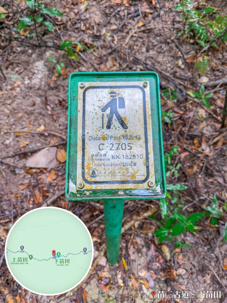
Distance Post C2705

這張照片拍攝於香港新界東北苗三古道往下苗田及三椏村的遠足徑上,特寫主體為一支金屬標距柱(Distance Post C2705),上面清楚印有漁農自然護理署標誌及格網座標「KK 182910」。標距柱立於覆蓋著枯葉與泥土的山徑旁,左下角疊加了苗三古道、上苗田與下苗田路段的導覽地圖,右下角則標有「苗三古道·下苗田」地標。此圖片為遠足者提供了精確的地理定位參考,適用於介紹印洲塘郊遊徑的里程標示與安全指南。

Distance Post C2705

Grid Ref: KK 182 910.

16. 📍
Ha Miu Tin

Ha Miu Tin

Shortly after passing Sheung Miu Tin (上苗田), you’ll quickly reach Ha Miu Tin (下苗田).

17. 📍
Miu Sam Stream

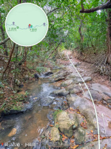
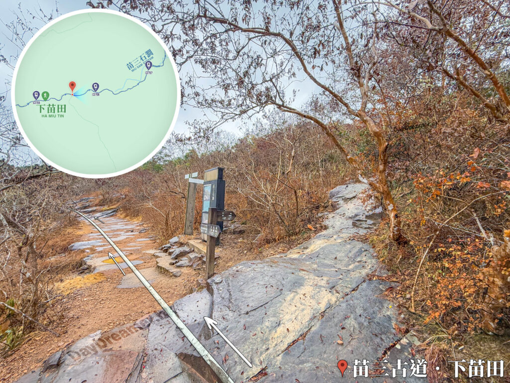
這張照片拍攝於香港新界東北苗三古道往下苗田及苗三石澗方向的途上。主畫面呈現一條由大型岩石與石板鋪設而成的步道,路面上繪有明確的白色箭頭指引前行方向。步道中央立有木製路線指示牌(標示前往苗三石澗與三椏村方向)及資訊導覽牌,右側為樹枝交錯的林木與赤褐色枯葉。左上角疊加了苗三古道下苗田至苗三石澗路段的導覽地圖,右下角則標有「苗三古道·下苗田」地標,為遠足者提供清晰的路段地貌與導航資訊。

Miu Sam Stream

After cutting through Ha Miu Tin, you’ll hit a fork in the road. Going straight takes you to Sam A Tsuen, while the path heading up to the right is the , which leads to or spots like Hung Shek Mun.

18. 📍
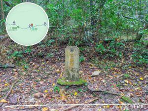
Distance Post C2706

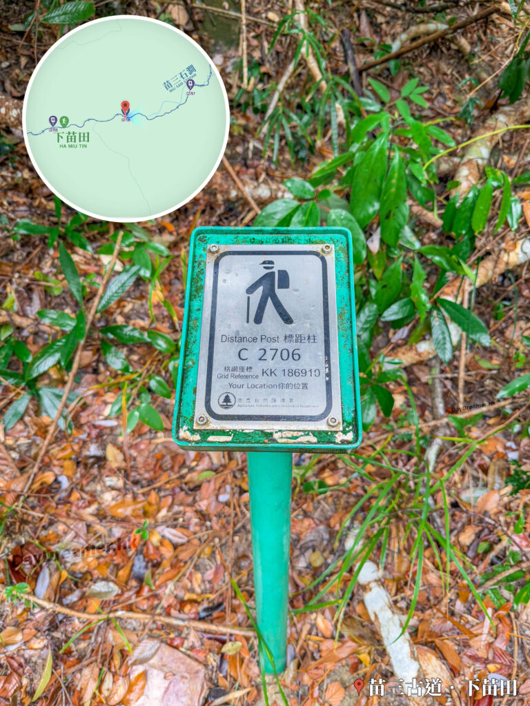
這張照片拍攝於香港新界東北苗三古道往下苗田及苗三石澗方向的遠足徑上,特寫主體為一支金屬標距柱(Distance Post C2706),上面清楚印有漁農自然護理署標誌及格網座標「KK 186910」。標距柱立於覆蓋著濕潤枯葉與綠色植物的山徑旁,左上角疊加了苗三古道、下苗田至苗三石澗路段的導覽地圖,右下角則標有「苗三古道·下苗田」地標。此圖片為遠足者提供了精確的地理定位參考,適用於介紹印洲塘郊遊徑的里程標示與安全指南。

Distance Post C2706

Grid Ref: KK 186 910.

19. 📍
Bamboo Forest 《I》

這張照片拍攝於香港新界東北苗三古道往下苗田及苗三石澗方向的途上。主畫面呈現一條由天然岩石與石板鋪設而成的山徑,兩旁聳立著茂密叢生的竹林,形成一條優美的竹林隧道,路面上繪有明確的白色箭頭指引前行方向。左上角疊加了苗三古道往下苗田及苗三石澗路段(靠近標距柱 C2707 處)的導覽地圖,右下角則標有「苗三古道·下苗田」地標,為遠足者展現了該路段獨特的人文古道與竹林景觀。

Bamboo Forest 《I》

After passing , walk for about 500 meters and you’ll hit a bamboo forest.

20. 📍
Distance Post  C2707

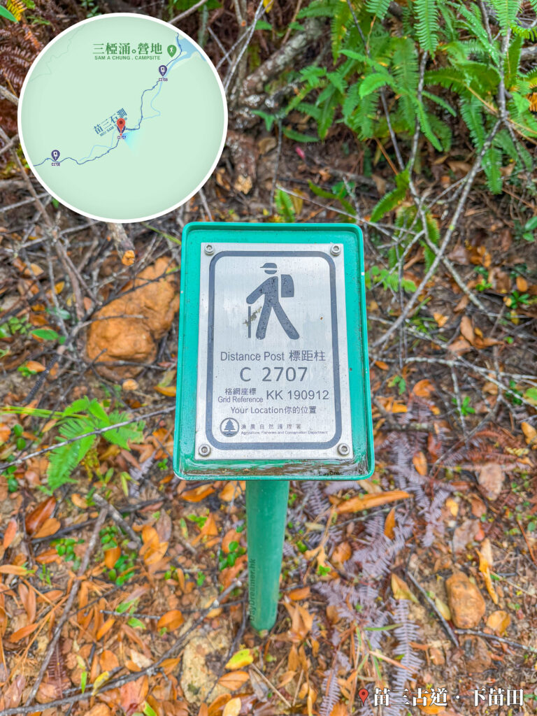
這張照片拍攝於香港新界東北苗三古道往苗三石澗與三椏涌營地方向的遠足徑上,特寫主體為一支金屬標距柱(Distance Post C2707),上面清楚印有漁農自然護理署標誌及格網座標「KK 190912」。標距柱立於覆蓋著枯葉、碎石與蕨類植物的山徑旁,左上角疊加了苗三古道、苗三石澗及三椏涌營地路段的導覽地圖,右下角則標有「苗三古道·下苗田」地標。此圖片為遠足者提供了精確的地理定位參考,適用於介紹印洲塘郊遊徑的里程標示與安全指南。

Distance Post  C2707

Grid Ref: KK 190 912.

21. 📍
Bamboo Forest 《II》

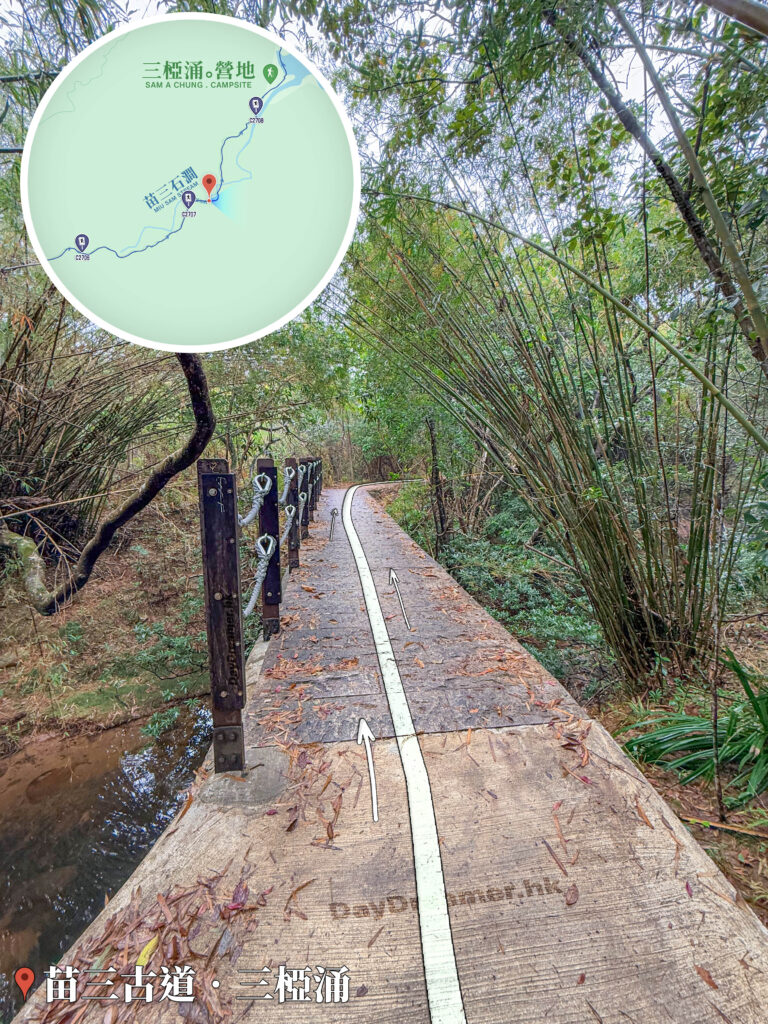
這張照片拍攝於香港新界東北苗三古道往三椏涌營地與三椏灣方向的途上。主畫面呈現一座跨越苗三石澗的平緩水泥石橋,左側設有木柱配以灰色繩索的防護欄杆,下方可見清澈溪流;右側則為密集的竹林,落葉散落在橋面上,並繪有明確的白色箭頭指引前行方向。左上角疊加了苗三石澗至三椏涌營地路段的導覽地圖,右下角則標有「苗三古道·三椏涌」地標,展現了該路段幽靜的溪谷石橋與自然竹林景致。

Bamboo Forest 《II》

There is a unique little stone bridge right here.

22. 📍
Distance Post C2708

Distance Post C2708

Grid Ref: KK 192 915.2 915。

23. 📍
Sam A Chung Campsite

這張照片拍攝於香港新界東北苗三古道往三椏灣與三椏村方向的途上。主畫面左側設有一座混凝土長椅及通往三椏涌營地的階梯入口,入口旁立有漁農自然護理署的露營標誌牌;右側則為由平整石塊鋪設的苗三古道主山徑,路面上繪有明確的白色箭頭指引前行方向。左上角疊加了三椏涌營地(SAM A CHUNG . CAMPSITE)的導覽地圖,右下角則標有「苗三古道·三椏涌」地標,為遠足者提供清晰的營地位置導航與路況資訊。

Sam A Chung Campsite

About 1 hour 40 minutes and 4.5 km away from the starting point at Wu Kau Tang Bus Terminus, you’ll reach . I said I’d come camping here a few years ago, but until now, it still hasn’t happened.

24. 📍
Sam A Chung

這張照片拍攝於香港新界東北苗三古道往三椏灣與三椏村方向的途上。主畫面左側特寫一座刻有漁農自然護理署標誌及「三椏涌 SAM A CHUNG」黃字的中英文混凝土石碑;地面暴露出新界東北標誌性的粉紅及紅褐色沉積岩地貌,中央繪有明確的白色箭頭指引前行方向,穿過前方的小石橋。右上角疊加了三椏涌營地與三椏灣附近的導覽地圖,左下角則標有「苗三古道·三椏涌」地標,為遠足者提供明確的地理定位與地質特色介紹。

Sam A Chung

Sam A Chung is located inside Plover Cove Country Park in the Northeast New Territories. As part of Double Haven Marine Park and sitting close to Ta Kwu Ling and Wu Kau Tang, this stream area perfectly blends border geography with raw, natural ecology. The water here is crystal clear, the ecosystem is incredibly diverse, and it offers stunning, distant views of Double Haven (Yan Chau Tong).

25. 📍
Mangroves

Mangroves

Once you pass Sam A Chung, you’ll arrive where the stream meets the bay. This brackish water zone features unique coastal mudflats and sedimentary rocks—the perfect environment for mangroves to thrive.

26. 📍
Distance Post  C2709

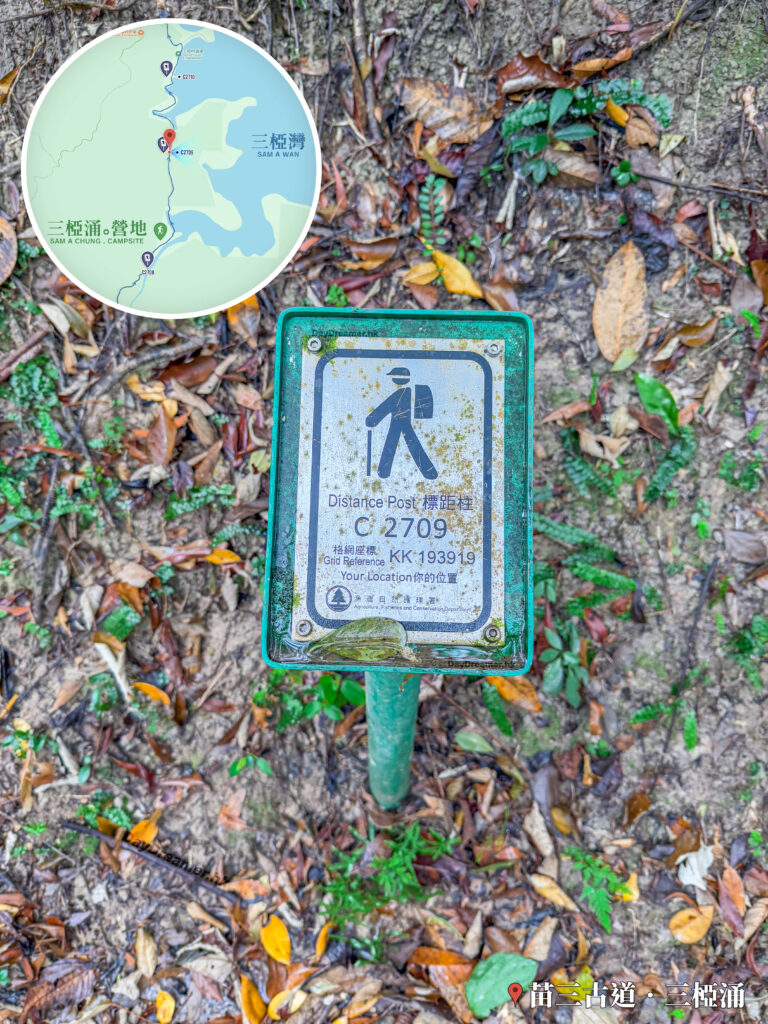
這張照片拍攝於香港新界東北苗三古道往三椏灣與三椏村方向的遠足徑上,特寫主體為一支金屬標距柱(Distance Post C2709),上面清楚印有漁農自然護理署標誌及格網座標「KK 193919」。標距柱立於覆蓋著濕潤落葉與泥土的山徑旁。左上角疊加了苗三古道三椏灣路段(鄰近「三椏灣 SAM A WAN」)的導覽地圖,右下角則標有「苗三古道·三椏涌」地標,為遠足者提供精確的地理定位參考與里程標示。

Distance Post C2709

Grid Ref: KK 193 919.

27. 📍
Red Rock Geo-Features Viewing Area
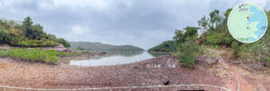
Red Rock Geo-Features Viewing Area

Famous for its purplish-red sedimentary rocks, this area forms a spectacular 『Fiery Coastline』 landscape. It’s one of the rare examples of Danxia landforms in Hong Kong. Not only is it a geological wonder, but it’s also a super popular hiking route and nature sightseeing spot.

28. 📍
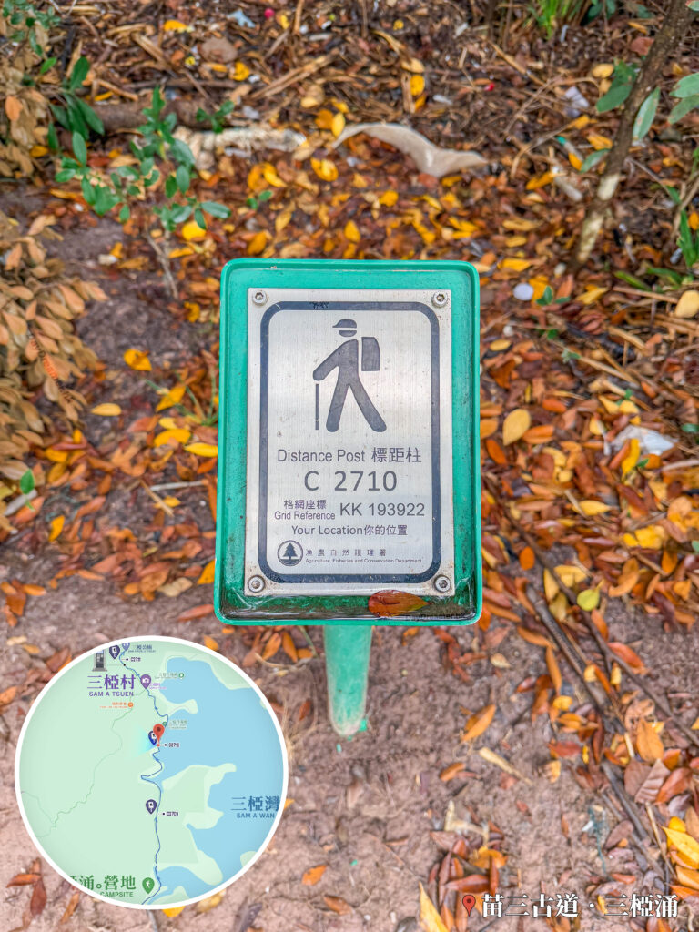
Distance Post C2710

這張照片拍攝於香港新界東北苗三古道往三椏村方向的遠足徑上,特寫主體為一支金屬標距柱(Distance Post C2710),上面清楚印有漁農自然護理署標誌及格網座標「KK 193922」。標距柱立於覆蓋著乾燥枯葉與泥土的山徑旁。左下角疊加了靠近三椏村(SAM A TSUEN)路段的導覽地圖,右下角則標有「苗三古道·三椏涌」地標,為遠足者提供精確的地理定位參考與里程標示。

Distance Post C2710

Grid Ref: KK 193 922.

29. 📍
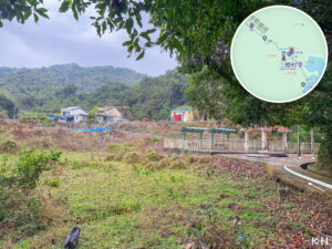
Sam A Tsuen – Entrance

Sam A Tsuen – Entrance

After walking for about 2 hours and covering 5.3 km from the starting point at Wu Kau Tang Bus Terminus, you’ll finally reach the entrance of Sam A Tsuen.

30. 📍
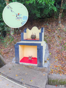
Sam A Tsuen

Sam A Tsuen

Located on the north shore of Plover Cove Reservoir in the Northeast New Territories, Sam A Tsuen is an ancient Hakka village with over 300 years of history. Known for its striking reddish-brown rocky shores, vast mangroves, and serene fishing village vibes, it is widely dubbed the 『Little Guilin of Hong Kong』.

31. 📍
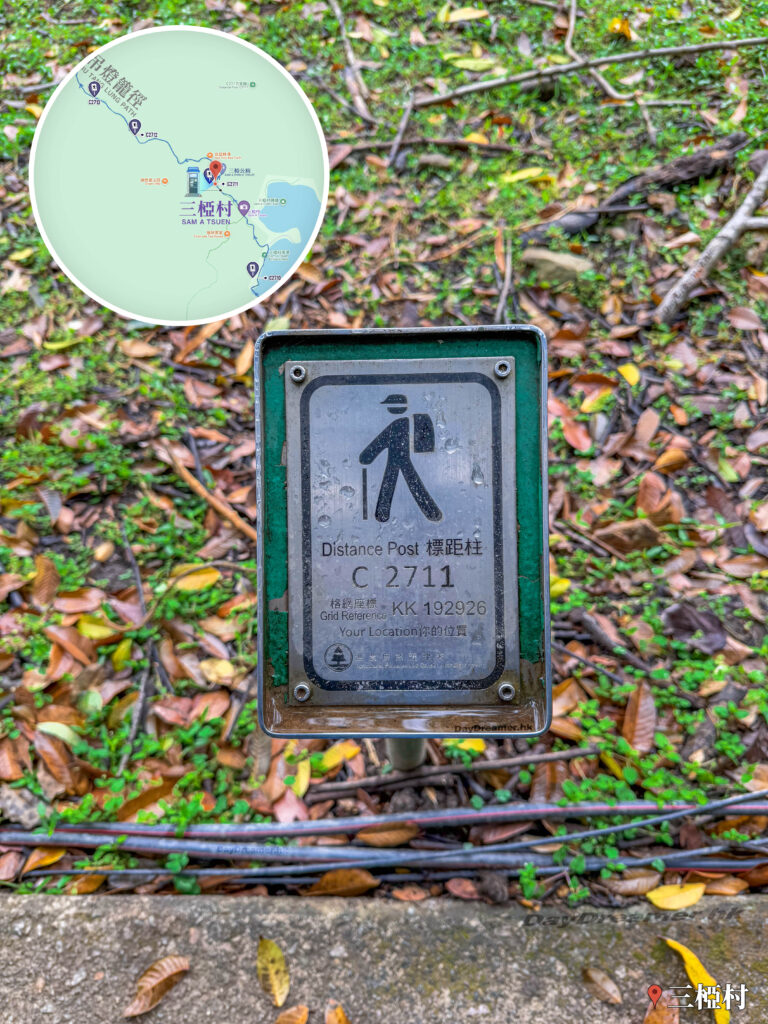
Distance Post C2711

這張照片拍攝於香港新界東北三椏村村內遠足徑上,特寫主體為一支金屬標距柱(Distance Post C2711),上面清楚印有漁農自然護理署標誌及格網座標「KK 192926」。標距柱立於覆蓋著枯葉與少量青草的斜坡旁,前方水泥路面邊緣鋪設有黑色管線。左上角疊加了三椏村(SAM A TSUEN)核心區的導覽地圖(標示出鄰近的三椏公廁位置),右下角則標有「三椏村」地標,為遠足者提供精確的地理定位參考與里程標示。

Distance Post C2711

Grid Ref: KK 192 926.

32. 📍
Sam A Tsuen – Public Toilet
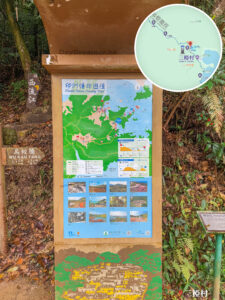
Sam A Tsuen – Public Toilet

This public toilet is tucked between and Hop Yick Bee Farm, right near the pavilion and the Sai Lau Kong (西流江) signpost. Since leaving the Wu Kau Tang (烏蛟騰) public toilet at the start, it takes almost 2 hours and 5.5 km of hiking before you hit this second restroom.

33. 📍
Sam A Tsuen, Hop Yick Bee Farm Kitchen
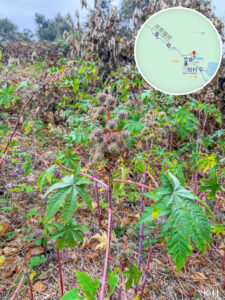
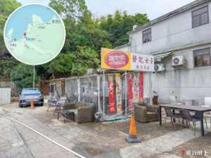
Sam A Tsuen, Hop Yick Bee Farm Kitchen
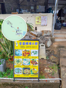
Famous for using honey produced from their own beehives, they serve up honey drinks, desserts, and local village snacks.

34. 📍
Sam A Tsuen, Green Villa

Sam A Tsuen, Green Villa

Green Villa (綠悠遊山莊) is a well-known Hakka restaurant in the village. Mixing natural scenery with a great food experience, it’s become a hot spot for hikers and eco-tourists alike.

35. 📍
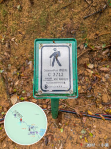
Distance Post C2712

Distance Post C2712

Grid Ref: KK 189 928.

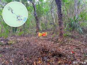
36. 📍
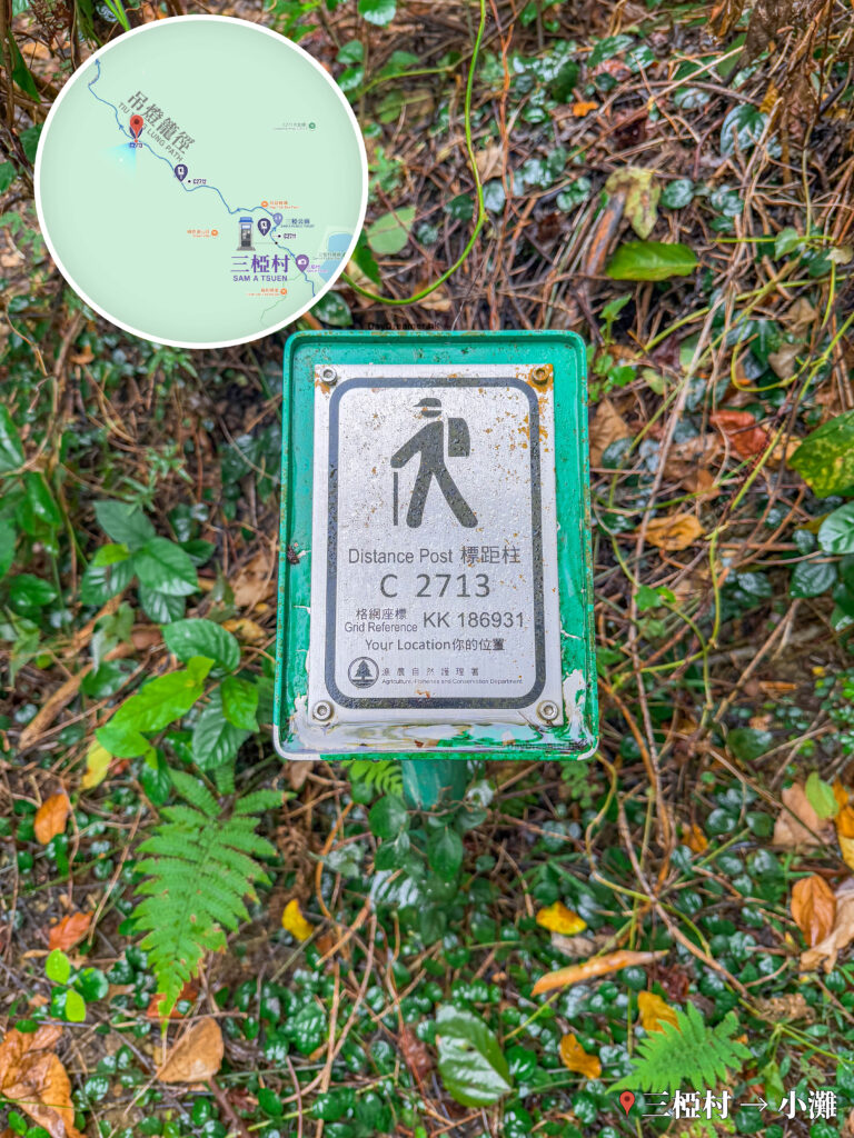
Distance Post C2713

這張照片拍攝於香港新界東北三椏村往小灘的行山路段。主畫面特寫一支綠色的漁護署標距柱頂端金屬牌面,上方明確標示「Distance Post 標距柱」、編號「C 2713」以及格網坐標「Grid Reference KK 186931」;背景為被綠葉、蕨類植物與落葉覆蓋的山林地表。左上角疊加了三椏村至小灘方向的導覽地圖,右下角則標有「三椏村 → 小灘」地標,為遠足者提供極具實用價值的精確安全定位資訊。

Distance Post C2713

Grid Ref: KK 186 931.

37. 📍
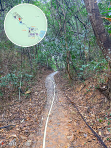
Siu Tan

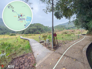
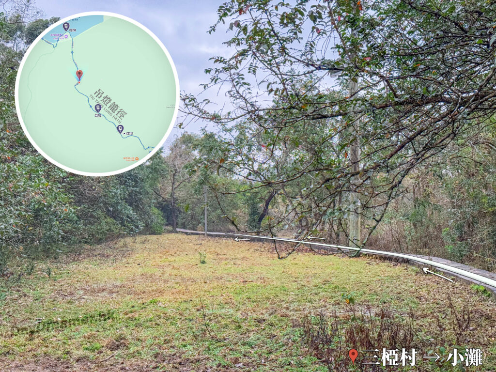
這張照片拍攝於香港新界東北三椏村往小灘的行山路段。主畫面為一片開闊的草坪與疏林交界處,右側有一條緊鄰樹林邊緣延伸的蜿蜒水泥步道,路面上疊加了多枚指向前方的白色箭頭;背景為茂密的樹叢與枝葉。左上角疊加了三椏村至小灘方向的導覽地圖,右下角則標有「三椏村 → 小灘」地標,為遠足者提供清晰的開闊地帶路況指引與精確地理定位。

Siu Tan

Siu Tan (小灘) is a peaceful, calm bay where the glassy water mirrors the surrounding woods. It’s packed with aquatic plants and mangroves, and serves as a major path connecting Sam A Tsuen and Lai Chi Wo, as well as a great pit stop on the hike.

38. 📍
Distance Post C2714

Distance Post C2714

Grid Ref: KK 185 935.

39. 📍
Fork: Lai Chi Wo – Ha Tong

Fork: Lai Chi Wo – Ha Tong

You’ll hit a fork in the road here. The left path leads to Ha Tong (哈塘), a traditional Hakka village where old houses are built along the hillsides, beautifully preserving traces of old farming culture.

40. 📍
Lai Chi Wo Nature Trail 《I》

Lai Chi Wo Nature Trail 《I》

The Lai Chi Wo Nature Trail is about 1.2 km long. Showcasing a blend of Hakka culture and rich biodiversity, it is a key attraction within Hong Kong UNESCO Global Geopark.

41. 📍
Distance Post C2715

Distance Post C2715

Grid Ref: KK 183 936.

42. 📍
Lai Chi Wo Nature Trail 《II》

Lai Chi Wo Nature Trail 《II》

Aside from the beautifully preserved, centuries-old Hakka walled village, you can also take in incredible natural landscapes here like mangroves, feng shui woods, and wetlands.

43. 📍
Lai Chi Wo Village – Piazza
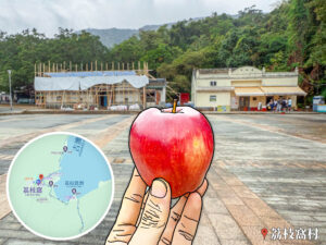
Lai Chi Wo Village – Piazza
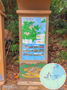
After hiking for about 3.5 hours and covering 8 km from the starting point at Wu Kau Tang Bus Terminus, you will finally arrive at the highlight village of this trip — Lai Chi Wo Village. Located within Double Haven Marine Park, Lai Chi Wo Village boasts over 300 years of history and is one of the most intact Hakka walled villages left in Hong Kong, packing immense geographical, ecological, and cultural value.
Route Breakdown
🚩 Mid-section 《Lai Chi Wo → So Lo Pun → Yung Shue Au》

44. 📍
Lai Chi Wo Pier

Lai Chi Wo Pier

Lai Chi Wo Pier is a major transport hub for Double Haven Marine Park and serves as the main gateway for visitors entering Lai Chi Wo Village. This pier doesn’t just hold the living memories of the village; it perfectly showcases a geography where nature and human history intertwine.

45. 📍
Lai Chi Wo, Pak Kok Wan

Lai Chi Wo, Pak Kok Wan

Pak Kok Wan (白角灣) is a natural little bay nestled on the northeast coast of Lai Chi Wo. The water here is crystal clear, surrounded by rocky shores, sandy beaches, and low rolling hills, giving it a super open and spacious feel.

46. 📍
Lai Chi Wo, Shan Wu

Lai Chi Wo, Shan Wu

After passing Pak Kok Wan (白角灣), you’ll start the uphill climb. Shan Wu (山塢), located north of Lai Chi Wo, is a small settlement set in a valley. The terrain is relatively low-lying and cupped by mountains, with streams and fields crisscrossing the area. It connects with neighboring villages like Lai Chi Wo and So Lo Pun (鎖羅盆), forming part of the cultural alliance known as the 『Hing Chun Yeuk Seven Villages』.

47. 📍
So Lo Pun Wan

So Lo Pun Wan

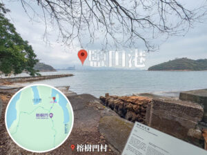
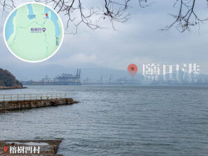
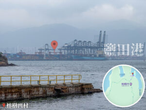
After passing Pak Kok Wan (白角灣) and tackling about 1 km of uphill mountain trails (roughly a 30-minute walk), you’ll hit So Lo Pun Wan (鎖羅盆灣). Featuring a pier and a seawall, this is hands-down the best spot to take in the serene sea views of Wong Chuk Kok Hoi (黃竹角海). From here, you can also catch a distant glimpse of Ap Chau (鴨洲) and Yantian Port (鹽田港).

48. 📍
So Lo Pun Village

So Lo Pun Village

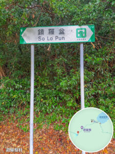
After leaving Lai Chi Wo Village and walking for about 3.6 km (roughly 1.5 hours), you’ll reach another major village attraction—So Lo Pun Village. Tucked away near Lai Chi Wo in the North District of the New Territories, So Lo Pun Village is an ancient Hakka village flanked by mountains on three sides and facing the bay. It’s pretty famous for being incredibly remote, abandoned, and the subject of ghost stories, but its unique geography and cultural ruins make it a hot spot for adventurous hikers.

49. 📍
Fork: So Lo Pun – Yung Shue Au

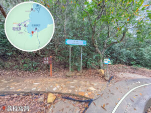
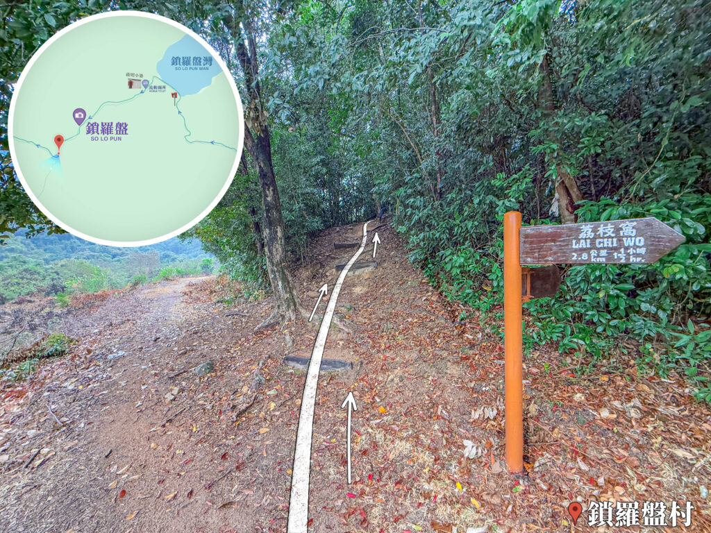
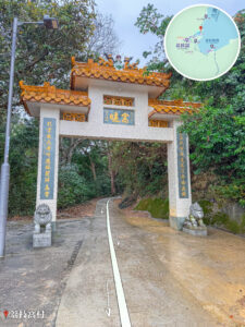
這張照片拍攝於香港新界東北的鎖羅盤村內。當遠足者越過鎖羅盤村準備向榕樹凹前進時,畫面右側立著一支橙色支撐柱與木製指標,牌面上刻有指向右前方「荔枝窩 Lai Chi Wo 2.8 公里 1 1/2 小時」的繁體中文與英文資訊;前方為一條鋪滿落葉的泥土上坡山徑,路面上繪有醒目的白色方向線與箭頭,引導遠足者進入前方鬱鬱蔥蔥的茂密樹林;左側則為泥路與開闊的視野。右下角標註「鎖羅盤村」地標,左上角疊加了鎖羅盤一帶的局部導覽地圖,為遠足者提供極具路線指引與精確地理定位的實景檔案。

Fork: So Lo Pun – Yung Shue Au

After cutting through So Lo Pun Village, you’ll hit a fork in the road. Keep heading up the mountain path to push on toward Yung Shue Au Village (榕樹凹村).

50. 📍
So Lo Pun - Yung Shue Au Trail 《I》
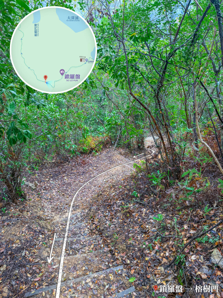
這張照片拍攝於香港新界東北由鎖羅盤村前往榕樹凹的途中。畫面中央為一條被濃密翠綠樹林與枝葉包圍的林間泥土小徑,前方路段設有向下延伸的泥土石階,地面鋪滿枯黃的落葉;路面上繪有醒目的白色方向線與箭頭,指引前行路線。右下角標註「鎖羅盤村 ➔ 榕樹凹」路線標籤,左上角則疊加了顯示兩地相對位置的局部導覽地圖,為遠足者提供極具林間路況記錄與精確地理定位的實景檔案。

So Lo Pun - Yung Shue Au Trail 《I》

The section leading from So Lo Pun to Yung Shue Au is an uphill trek through dense forest.

51. 📍
So Lo Pun - Yung Shue Au Trail 《II》
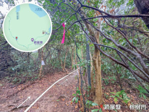
So Lo Pun - Yung Shue Au Trail 《II》

There’s a warning sign here about bee attacks 🐝! Everyone should stay alert, stay quiet, and walk slowly through here so we don’t disturb the local bugs and bees 🤫.

52. 📍
So Lo Pun - Yung Shue Au Trail 《III》
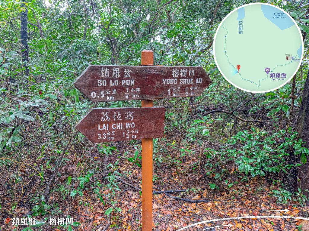
這張照片拍攝於香港新界東北由鎖羅盤前往榕樹凹的林間行山路段。畫面中央豎立著一支橙色金屬支柱與木製路標系統,上方雙向指標分別刻有繁體中文與英文資訊:左方指向「鎖羅盤 So Lo Pun 0.5 公里 1/4 小時」,右方指向「榕樹凹 Yung Shue Au 1 公里 1/2 小時」;下方指標則指向「荔枝窩 Lai Chi Wo 3.3 公里 1 3/4 小時」。背景為鬱鬱蔥蔥的茂密樹林與鋪滿枯葉的泥土地面,底部繪有引導前行的白色方向箭頭。左下角標註「鎖羅盤 ➔ 榕樹凹」路線標籤,右上角則疊加了顯示當前方位的局部導覽地圖,為遠足者提供極具路線規劃與精確地理定位的實景檔案。

So Lo Pun - Yung Shue Au Trail 《III》

The trail sign here shows that Yung Shue Au is still 1 km and about a 30-minute walk away.

53. 📍
Yung Shue Au Village – Entrance

這張照片拍攝於香港新界東北由鎖羅盤前往榕樹凹的林間行山路段。畫面中央豎立著一支橙色金屬支柱與木製路標系統,上方雙向指標分別刻有繁體中文與英文資訊:左方指向「鎖羅盤 So Lo Pun 1 公里 3/4 小時」,右方指向「榕樹凹 Yung Shue Au 0.3 公里 1/4 小時」;下方指標則指向「荔枝窩 Lai Chi Wo 3.8 公里 2 1/4 小時」。背景為古老石砌牆面、翠綠植被與鋪滿枯葉的泥土地面,底部繪有引導前行的白色方向箭頭。左下角標註「鎖羅盤 ➔ 榕樹凹」路線標籤,右上角則疊加了顯示當前方位的局部導覽地圖,為遠足者提供極具路線規劃與精確地理定位的實景檔案。

Yung Shue Au Village – Entrance

Before you know it, you’ll arrive at the entrance of Yung Shue Au Village.

54. 📍
Yung Shue Au Village

Yung Shue Au Village

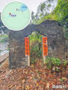
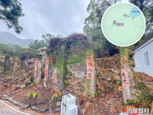
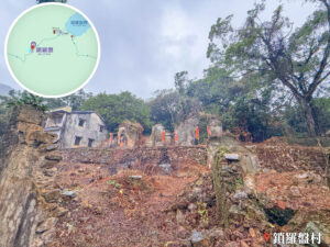
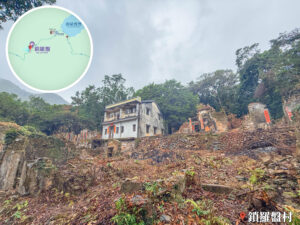
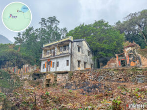
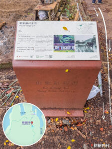
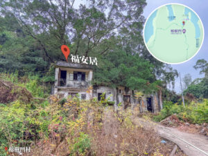
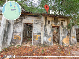
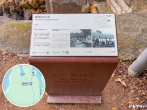
After walking about 2 km and taking 1 hour from So Lo Pun Village, we arrive at another major village highlight of this trip — Yung Shue Au Village. Located at the northeastern tip of Plover Cove (船灣) in the North District of the New Territories, this Hakka village has over 300 years of history. Though it has been abandoned for many years, it still beautifully preserves its unique geography and cultural footprints.

55. 📍
Yung Shue Au Wan

Yung Shue Au Wan

Yung Shue Au Village also has its own bay — Yung Shue Au Wan (榕樹凹灣). This is a serene bay packed with raw beauty, historical vibes, and distinctive geographical features. Miles away from the city hustle, it was once a booming Hakka village, but today it has become a favorite “hidden gem” for hikers looking to get away from it all.
Route Breakdown
🏁 Finish 《Yung Shue Au → Kuk Po → Luk Keng》

56. 📍
Yung Shue Au - Kuk Po Trail 《I》

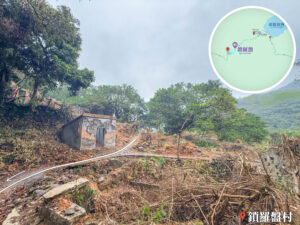
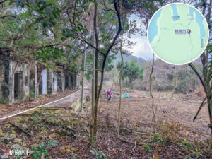
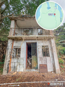
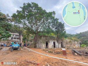
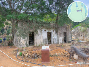
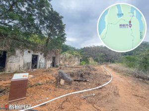
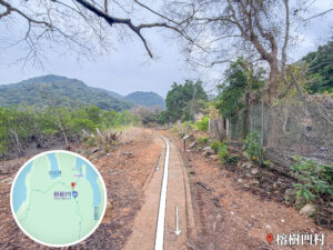
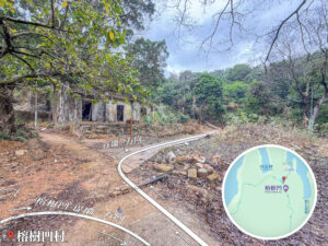
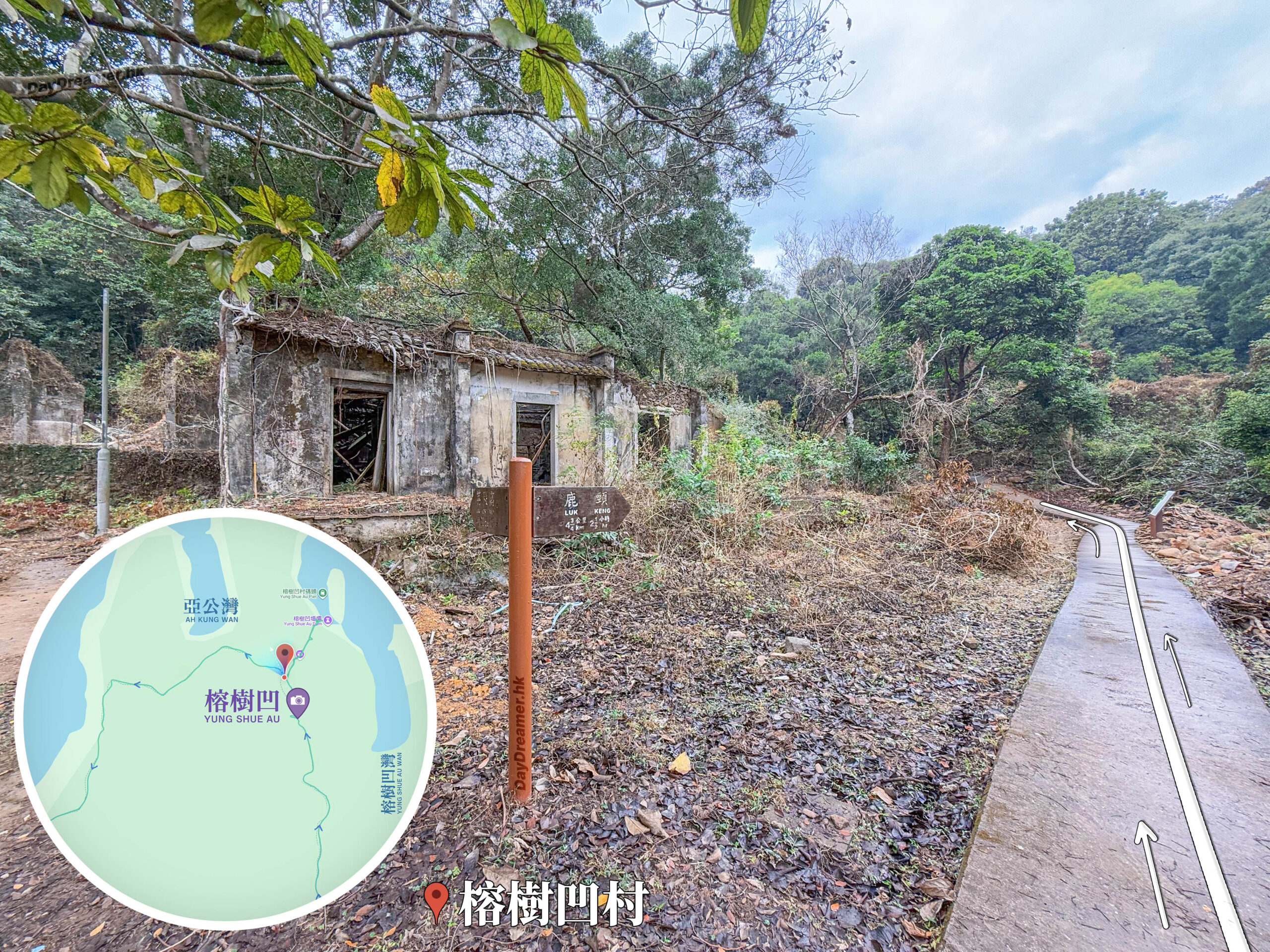
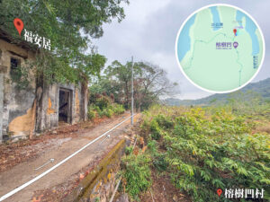
這張照片拍攝於香港新界東北的榕樹凹村內。畫面左側為一座滄桑斑駁的荒廢村屋遺址,窗框空洞且被草木環繞;中央豎立着一支棕色木製行山指示牌,標示着通往「鹿頸」的方向與距離;右側為一條向前延伸的水泥步道,路面上繪有帶箭頭的白色雙軌引導線。畫面左下角疊加了顯示當地位置的局部導覽地圖,下方標註「榕樹凹村」地標,為遠足者提供極具古村路口路況指引與精確地理定位的實景檔案。

Yung Shue Au - Kuk Po Trail 《I》

After chilling out and spacing trackside at Yung Shue Au Wan (榕樹凹灣), we trace our steps back to the entrance of Yung Shue Au Village (榕樹凹村) and keep pushing forward to our next stop, Kuk Po (谷埔).
57. 📍
Yung Shue Au Landmark – Banyan House

Yung Shue Au Landmark – Banyan House

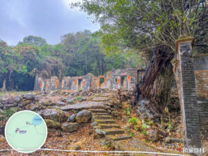
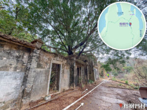
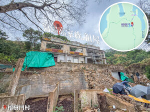
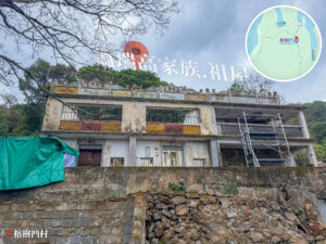
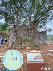
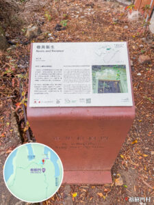
There’s an iconic landmark right at the village exit from Yung Shue Au to Kuk Po that you definitely won’t miss when walking past. It’s a house completely wrapped and swallowed up by the sprawling roots of a massive banyan tree, making it the most signature landmark of the village.

58. 📍
Yung Shue Au - Kuk Po Trail 《II》

Yung Shue Au - Kuk Po Trail 《II》

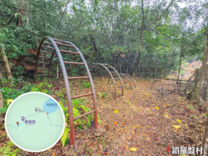
The very first stretch of the path from Yung Shue Au to Kuk Po starts with an uphill climb.

59. 📍
Yung Shue Au - Kuk Po Trail 《III》

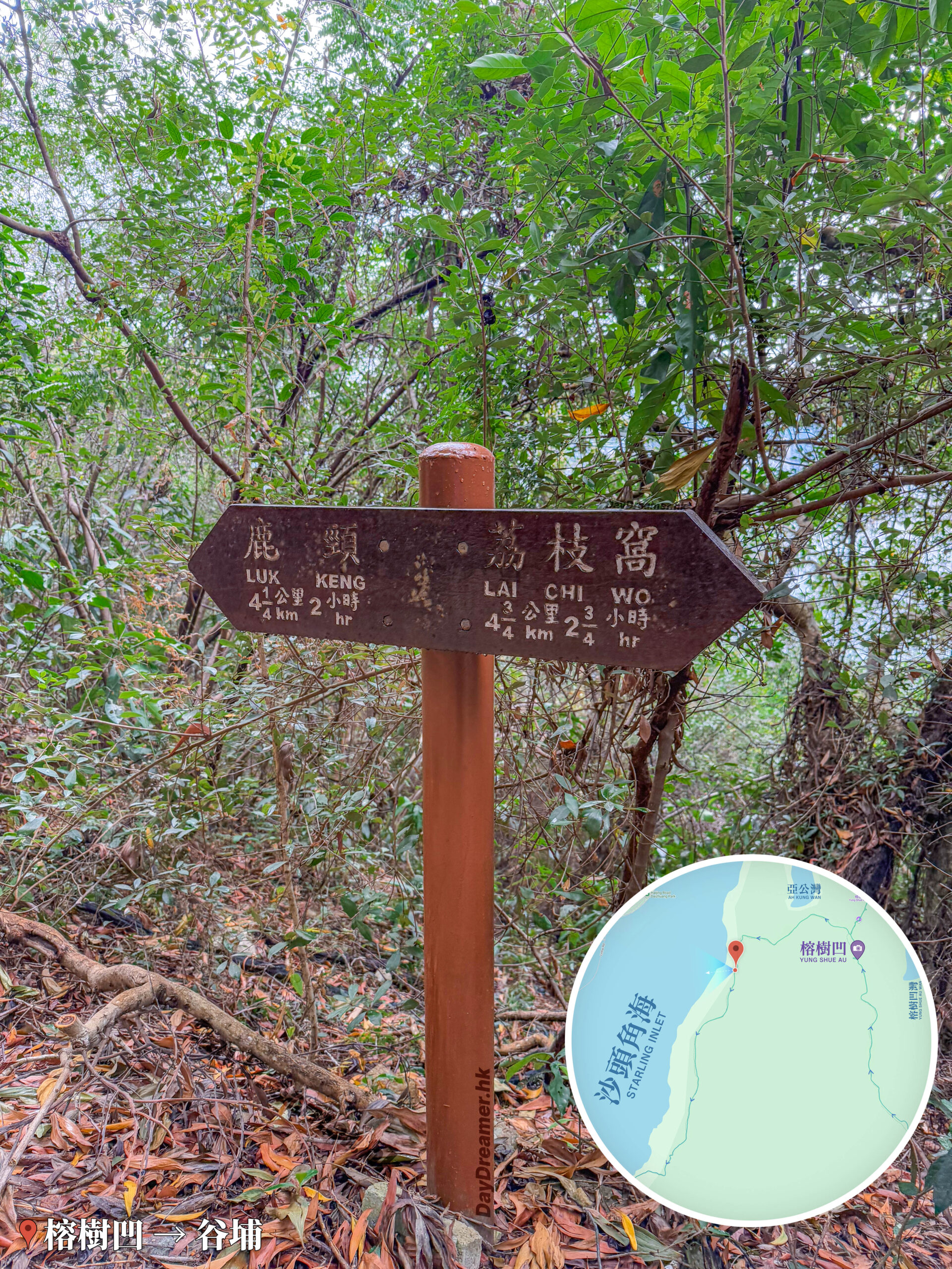
這張照片拍攝於香港新界東北榕樹凹至谷埔途中的山林間。畫面中央立有一支棕色木製行山雙向指示牌,左側箭頭標示「鹿頸 LUK KENG 4 1/2 公里 2 小時」,右側箭頭標示「荔枝窩 LAI CHI WO 4 3/4 公里 2 3/4 小時」;背景為枝葉繁茂的綠色樹林與鋪滿枯葉的泥地。右下角疊加了顯示當地位置的局部導覽地圖,左下角標註「榕樹門 → 谷埔」地標,為遠足者提供極具路口方向指引與精確地理定位的實景檔案。

Yung Shue Au - Kuk Po Trail 《III》

According to the trail sign, our final destination — Luk Keng, it is still about 4.25 km away, which should take around 2 hours.

60. 📍
Yung Shue Au - Kuk Po Trail 《IV》

Yung Shue Au - Kuk Po Trail 《IV》

Sometimes you wonder: what’s the real goal of going hiking? Space out? Explore? Relax? Or challenge yourself? Whatever your reason is, just don’t forget to take in the views right in front of you, enjoy the journey, and keep exploring beautiful Hong Kong.

61. 📍
Kuk Po Pier

Kuk Po Pier

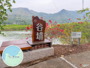
After walking about 2 km and taking 1 hour from Yung Shue Au Village, we arrive at Kuk Po Village. Kuk Po Pier is located along the inner sea of Sha Tau Kok (沙頭角) in the Northeast New Territories. Backed by mountains and facing Yantian Port (鹽田港) in Shenzhen, it is a frontier village pier rich in both natural ecology and historical heritage.

62. 📍
Kuk Po, Chung Kee Store

Kuk Po, Chung Kee Store

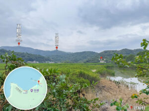
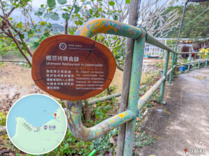
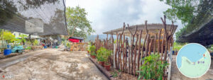
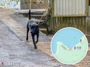
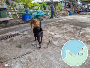
Passing Kuk Po Pier, we arrive at Chung Kee Store. Revisiting after many years, we even ran into old friend 『🐶 Ah Wong』. Chung Kee Store is the most iconic eatery in Kuk Po Village, famous for its Hakka dishes and fresh seafood. Combined with the rural natural scenery, it’s an absolute must-visit spot for hikers and culture seekers.

63. 📍
Kuk Po, Uncle Sung’s Mountain Water Tofu Pudding

Kuk Po, Uncle Sung’s Mountain Water Tofu Pudding

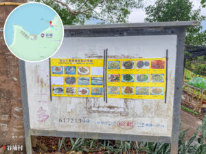
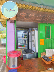
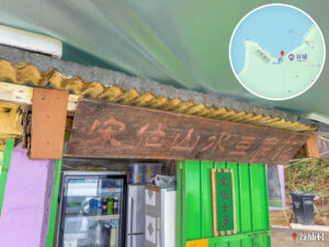
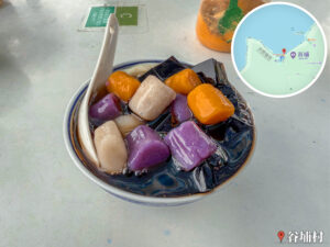
Uncle Sung’s Mountain Water Tofu Pudding is run by local villager Uncle Sung, who always chats with visitors, turning his spot into a cultural symbol of Kuk Po. It is famous for its tofu pudding and cha kwo (tea rice cakes), served alongside great sea views and a cozy village vibe.

64. 📍
Kuk Po, Kai Choi School

Kuk Po, Kai Choi School

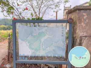
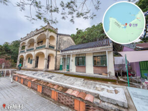
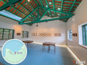
Kai Choi School once served as the primary place of education for the children of Kuk Po villagers, symbolizing community autonomy and cultural continuity. Its exterior design blends Chinese and Western architectural styles, witnessing nearly a century of the village’s educational and cultural growth. Aside from being a Grade 3 Historic Building, it beautifully mirrors Kuk Po’s wetland ecology and Hakka settlements, standing as a landmark where culture and nature entwine.

65. 📍
Kuk Po, Village Entrance
Kuk Po, Village Entrance
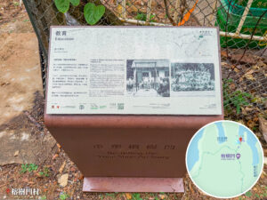
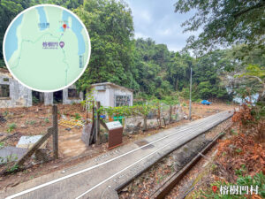
After checking out Kai Choi School, we keep going forward toward our next stop — Fung Hang (鳳坑).

66. 📍
Kuk Po - Fung Hang Trail, Looking Back at Kuk Po
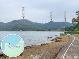
Kuk Po - Fung Hang Trail, Looking Back at Kuk Po
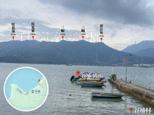
Looking back at Kuk Po from here, the surrounding ridgeline reveals that Kuk Po is enclosed by three peaks: Shek Nga Tau at 245m, the most prominent high point on the left; Tsim Kwong Tung at 229m, featuring a sharp, pointed peak true to its name; and Fan Tsang Ka Tung at 225m on the right, forming part of this continuous ridge.

67. 📍
Fung Hang Pier

Fung Hang Pier

After walking about 1.3 km and taking 30 minutes from Kuk Po Village (谷埔村), we arrive at Fung Hang Village (鳳坑村).

68. 📍
Fung Hang Village

Fung Hang Village

Located around the Luk Keng area in the Northeast New Territories, Fung Hang Village sits right by Starling Inlet (Sha Tau Kok, 沙頭角海) and is a Hakka village with over 300 years of history. It’s famous for its mangroves, reed beds, and intertidal ecosystem, though only a handful of long-term residents live here today.

69. 📍
Fung Hang - Luk Keng Trail

Fung Hang - Luk Keng Trail

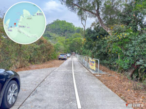
The path from Fung Hang to Luk Keng is another uphill stretch where we need to push up a small hill about 30 meters high.

70. 📍
Kai Kuk Shue Ha, Fat Kee Store
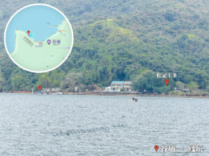
Kai Kuk Shue Ha, Fat Kee Store

After getting over the 30-meter-high hill, we arrive at Kai Kuk Shue Ha Village (雞谷樹下村). Fat Kee Store provides hikers and day-trippers with quick refreshments like sandwiches, toast, instant noodles, iced pineapple, and classic cha chaan teng hot drinks.

71. 📍
Luk Keng – Minibus Stop

這張照片拍攝於香港新界東北的鹿頸小巴總站。畫面右側停放着一輛前往粉嶺站的56K綠色小巴;左側為寬敞的新娘潭路柏油路面,遠方山頭標註為海拔121米的高峒。畫面右下角疊加了顯示區域路徑的圓形導覽地圖,左下角標註「鹿頸 · 小巴總站」地標,為前往新界東北遠足的行山客提供極具交通樞紐參考價值與現場環境對照的實景檔案。

Luk Keng – Minibus Stop

Starting out from Wu Kau Tang (烏蛟騰) and trekking through Sam A Tsuen, Lai Chi Wo, So Lo Pun, Yung Shue Au, Kuk Po, Fung Hang, and finally here to Luk Keng—covering roughly 20 km and taking 8.1 hours—we have finally completed this epic journey through the ancient villages of the Northeast New Territories.