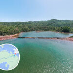
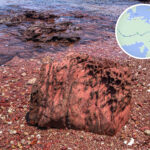
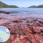
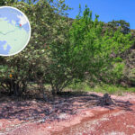
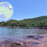
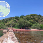
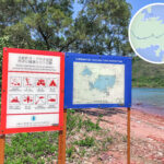
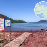
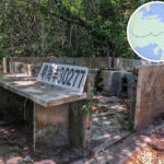
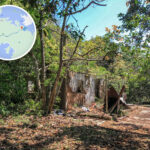
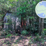
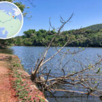
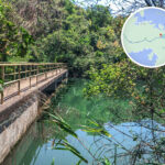
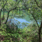
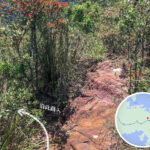
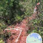
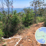
🔥【Hung Shek Mun (紅石門)】 is a narrow channel located around the Yan Chau Tong Marine Park in the northeastern New Territories, renowned for its crimson rocks. Rich in iron, these rocks underwent oxidation under hot climates to form a vibrant red hue, creating a rare Danxia landform in Hong Kong that is highly acclaimed by the hiking community as the “Fiery Red Coastline.” —
—
🧭 Geography and Landscape Features
- Location: Situated between Kwan Mun Tsui and Wong Wan Chau (Double Island).
- Rock Formation: Iron oxide has turned the rocky coast a vivid crimson red, making for a striking visual contrast.
- Coastal Scenery: Crystal-clear waters paired with rocky shores covered in barnacles; best viewed during low tide to see the red rocks fully exposed.
—
🏞 Hung Shek Mun Village
- Originally a small village where residents relied on farming and fish farming to make a living.
- Now completely abandoned, though remnants of broken dams and concrete paths can still be spotted.
- Wildlife, including snakes, is common in the area, so hikers must stay alert.
—
🥾 Hiking Route Breakdown
🔹 Wu Kau Tang → Hung Shek Mun
- Starting Point: Wu Kau Tang
- Via: Kau Tam Tso → Sheung Miu Tin → Ha Miu Tin → Wang Leng → Kwun Yam Tung → Hung Shek Mun
- Distance: Around 17–23 km (depending on whether you extend the hike to Red Rock Beach or Shuen Wan Plover Cove Reservoir)
- Time: Around 6–8 hours
- Difficulty: ⭐️⭐️⭐️⭐️⭐️ (Very High)
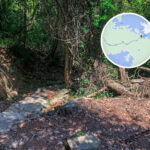
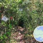
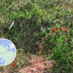
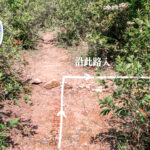
- Trail Conditions: Mostly unofficial paths covered in dense bush with countless forks, making it very easy to get lost.
Route Highlights
- Tai Tung: The highest point of this route, standing at about 280 metres high.
- Kat O Water Reservoir: A small reservoir supplying fresh water to Kat O and Ap Chau.
- Hung Shek Mun Village: An abandoned village that once relied on agriculture and aquaculture.
- Red Rock Beach: A spectacular crimson rocky beach that is a hotspot for photography.
—
🚐 Getting There & Away
Transport Route Details Green Minibus 20R Tai Po Market Station → Wu Kau Tang Infrequency service; setting off early in the morning is highly recommended. Taxi Tai Po Market → Wu Kau Tang Costs around HK$110; best for groups to split the fare. Return Trip Retrace your steps / Shuen Wan Plover Cove Country Trail You can head past the sub-dam toward Tai Mei Tuk, but the distance is significantly longer. —
📸 Top Spots
Spot Name English Name Description 紅石門坳 Hung Shek Mun Pass The high point before dropping into Hung Shek Mun, marked with cliff warning signs. 鹹魚埕 Ham Yue Tseng A coastal stretch with intensely saturated rocks, showing a striking red-and-green contrast. 吉澳供水水塘 Kat O Water Reservoir A minor reservoir built to supply fresh water to Kat O and Ap Chau. 火紅海岸 Flaming Coast The vibrant red rocky coast of Hung Shek Mun, widely known as the “Fiery Red Coastline” among hikers. 丹霞地貌 Danxia Landform Formed by the weathering and oxidation of red sandstone; the iron-rich rocks turn a bright red when oxidized. 紅石灘 Red Rock Beach A rocky beach near Hung Shek Mun with vivid red stones, making it a popular check-in spot. —
🌿 Ecology and Culture
Location English Name Features Hung Shek Mun Village Hung Shek Mun Village Once home to about 40 residents who later shifted from farming to fish rearing; now entirely abandoned. 海岸生態 Coastal Ecology As the area sees very few visitors, it retains a rich marine ecosystem, including small fish, crabs, and sea algae. 堤堰遺跡 Dam Remnants The ruins of a broken dam can be seen lying between Kwan Mun Tsui and Tong Pai Tau, a relic of past village life. —
📚 Checklist of Attractions
- Hung Shek Mun
- Danxia Landform
- Fiery Red Coastline
- Yan Chau Tong Marine Park
- Hung Shek Mun Village
- Wu Kau Tang
- Tai Mei Tuk
- Kau Tam Tso
- Sheung Miu Tin
- Ha Miu Tin
- Kwun Yam Tung
- Luk Wu Tung
- Kat O Water Reservoir
—
🌟 Why Is It Worth Visiting?
- Features Hong Kong’s rare Danxia landforms, making it a paradise for geology and nature lovers.
- Preserves an untouched, pristine natural landscape free from human interference.
- An ideal challenge for experienced hikers looking to test their limits.
- The contrast of fiery red rocky shores against crystal-clear waters makes for jaw-dropping scenery.