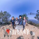
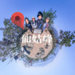
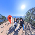
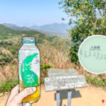
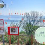
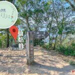
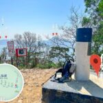
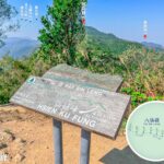
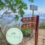
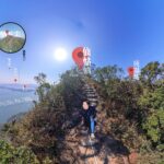
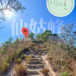
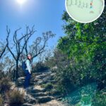
🏔️ 【Hsien Ku Fung (仙姑峰) 】is the easternmost peak of the rugged Pat Sin Leng mountain range. Rising 511 metres above sea level on the northern shores of Tolo Harbour, it commands sweeping views across Tai Po and its surrounding waters. Together with seven neighboring crests, it forms the iconic “Eight Fairies” ridge line, named after the prominent figures of Chinese Taoist mythology.
📌 Key Information
Item Details 📍 Location Situated within the Pat Sin Leng range along the northern coast of Tolo Harbour near Tai Po; Hsien Ku Fung marks the easternmost anchor of the ridge. 🏔️ Elevation 511 metres 📐 Coordinates 22°29′12″N, 114°13′26″E 🌳 Protected Area Pat Sin Leng • Country Park 🚶♂️ Hiking Trails Typically approached from Tai Mei Tuk, Bride’s Pool, or Hok Tau • Reservoir. Treading the full undulating ridgeline covers roughly 13 km and demands significant physical stamina, rating it as a challenging trek. — The high-altitude path connecting Hsien Ku Fung to the rest of the range is famous for its relentlessly steep stone steps and continuous roller-coaster ridges. Setting off from Bride’s Pool or Tai Mei Tuk requires tackling multiple gruelling ascents and descents. Once at the summit of Hsien Ku Fung, hikers are rewarded with an exceptionally wide, panoramic vista over Tolo Harbour, Ma On Shan, and the sprawling expanse of the Plover Cove • Reservoir—making it a legendary hotspot for landscape photographers. —
—
🏔️ Geographical Features
- Mountain Structure: The Pat Sin Leng landform consists of eight distinct, consecutive peaks. As the easternmost summit, Hsien Ku Fung directly connects to the adjacent Sheung Tsz Fung.
- Panoramic Vistas: The summit clearing offers clear views looking down at Tolo Harbour, Tai Po, Ma On Shan, and the vast waterscapes of the Plover Cove Reservoir.
- Terrain Characteristics: The trail network across the spine is characterized by steep, exposed stone staircases and relentless elevation changes, recommended primarily for experienced hillwalkers.
—
🧧 Culture & Mythology
- Origin of the Name: Hsien Ku Fung is named after He Xian-gu (Immortal Maiden He), the only female figure among the Taoist Eight Immortals.
- Symbolic Meaning: She traditionally embodies feminine spirituality, purity, and wisdom, and is frequently depicted in classic art holding a sacred lotus flower.
- Cultural Context: Because each of the eight individual peaks carries the name of a specific deity from the Eight Immortals, the range beautifully weaves natural topography together with ancient folklore, serving as a rare example of “mythological geography” in Hong Kong.
—
🌸 Ecology & Peak Seasons
- Natural Resources: The surrounding hillsides support diverse microhabitats, acting as a regional sanctuary for rare local butterfly and dragonfly species.
- Best Times to Visit:
- September to October: Brings milder temperatures and lower humidity, creating ideal conditions for long-distance hill walking.
- October to November: Features sweeping displays of blooming silvergrass, adding a golden texture across the windswept ridges.
—
📊 Elevation Comparison of Pat Sin Leng Peaks
Peak Name English Name Elevation (m) Key Distinctions 純陽峰 Shun Yeung Fung 590 The absolute highest point of the Pat Sin Leng range. 鍾離峰 Chung Li Fung 551 Wilson Trail passes close by its 529m shoulder mark. 果老峰 Kao Lao Fung 543 Offers exceptionally open, unobstructed vistas. 拐李峰 Kuai Lee Fung 522 Characterized by highly imposing, sharp terrain profiles. 曹舅峰 Tsao Kau Fung 508 Sits in close geographical proximity to Hsien Ku Fung. 湘子峰 Sheung Tsz Fung 513 Directly adjacent to the western shoulder of Hsien Ku Fung. 仙姑峰 Hsien Ku Fung 511 The easternmost peak; stands as a major cultural icon. 采和峰 Choi Wo Fung 489 The lowest-lying peak within the main ridge cluster. —
🗓️ Day Trek Itinerary: Traversing to Hsien Ku Fung
Time Location Activity & Progress Notes 08:30 Tai Mei Tuk Assemble at the trailhead; conduct final gear checks and stock up on water/rations. Starting point, located near the main dam of Plover Cove Reservoir. 08:45 Wilson Trail Section 10 Entrance Commence the steady upward climb. Entering the official boundaries of Pat Sin Leng Country Park. 09:30 Shun Yeung Fung Reach the highest summit of the range (590m). Features magnificent, sweeping upland views. 10:15 Chung Li Fung & Kao Lao Fung Traverse across these two consecutive high points. The trail begins its signature undulating ridgeline pattern. 11:00 Kuai Lee Fung Arrive at the summit; break for a brief 15-minute rest. Surrounded by highly dramatic, steep craggy drop-offs. 11:45 Tsao Kau Fung Push forward along the spine, passing this minor peak. Closing in on the eastern end of the mountain range. 12:30 Sheung Tsz Fung Stop for a well-deserved trail lunch and hydration break. Provides excellent coastal views over Tolo Harbour. 13:30 Hsien Ku Fung Reach the final eastern peak (511m). A major cultural landmark offering unhindered vistas across Plover Cove. 14:00 Descent Path Begin stepping down along the trail leading toward Bride’s Pool. The initial drop contains quite steep, loose rocky steps. 15:30 Choi Wo Fung Pass across the lowest-lying summit of the journey (489m). The final named peak along the classic cross-mountain route. 16:30 Bride’s Pool Area Arrive down at the valley floor near the historic woodland streams. Approaching the final stretch of the trek. 17:00 Bride’s Pool Exit Trek complete; catch local connecting transport back to Tai Po market. — —
🎒 Practical Trail Tips
- Essential Gear: Sturdy hiking boots with solid grip, trekking poles, sun protection, a minimum of 2 to 3 litres of water, and a lightweight pack lunch.
- Difficulty Rating: Challenging / Advanced. The full 13 km course involves substantial accumulated ascent and requires roughly 7 to 8 hours to complete safely.
- Highlights: Bagging all eight distinct summits of Pat Sin Leng in a single journey, presenting a satisfying mix of physical exertion and deep mythological history.