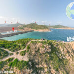
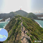
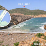
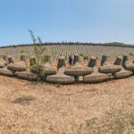
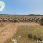
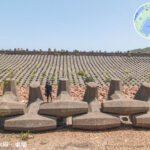
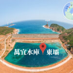
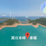
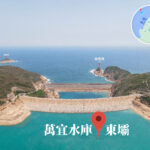
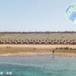
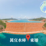
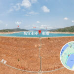
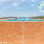
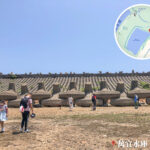
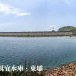
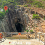
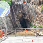
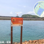
🌊【Kwun Mun Channel (官門海峽)】 was once a narrow waterway between the Sai Kung Peninsula and High Island, connecting Port Shelter with the South China Sea. This channel was not only a natural navigation route but also nurtured a rich marine ecosystem, featuring coral communities, sea caves, and a diverse fishing village culture. Its geological background is dominated by Cretaceous volcanic rocks, forming spectacular hexagonal rock columns that remain an important landscape feature of the Hong Kong Geopark today. —
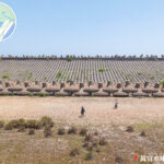
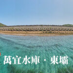
— In the 1970s, due to severe water shortages, Hong Kong undertook a massive engineering project, building the East Dam and West Dam at both ends of the Kwun Mun Channel, ultimately creating the High Island Reservoir. This project completely transformed the landscape, filling in the original channel to create Hong Kong’s largest reservoir, with a storage capacity of 281 million cubic meters. Although villages like Lan Nai Wan Village were submerged as a result, the story of the Kwun Mun Channel stands as a testament to the intersection of Hong Kong’s geography and culture, continuing to draw visitors to explore its history. —
📌 Basic Information
Item Details Original Landscape Channel between the Sai Kung Peninsula and High Island Current Status Filled in, forming part of the High Island Reservoir Geological Features Hexagonal volcanic rock columns, fault breccia zones Engineering Project Planned in 1969, construction started in 1971, completed in 1978; East Dam and West Dam sealed off the channel Capacity 281 million cubic meters, making it the largest reservoir in Hong Kong Reservoir Area Approx. 6.67 square kilometers Project Cost 1.35 billion HKD Main Dams East Dam and West Dam, rising up to 64 meters high Cultural Impact Lan Nai Wan Village was submerged; Kwun Mun fishing villages were relocated Administrative Impact Realigned under the District Office, affecting local administration Tourism Value Geopark attractions, hiking trails, camping at Long Ke Wan Geological Status Hexagonal volcanic rock columns, recognized as a Global Geopark site —
🌍 Geographical Location & Natural Environment
- Location: Situated between the southern coast of the Sai Kung Peninsula and High Island.
- Geological Features: Cretaceous volcanic rocks forming spectacular hexagonal rock columns and fault breccia zones.
- Ecological Value: Formerly home to rich coral communities, sea caves, and a wide array of marine life.
—
🚶♂️ Tourism & Activities
- Geopark Attractions: Hexagonal rock columns and sea caves.
- Hiking Trail: Sai Wan Pavilion → Chui Tung Au → Sai Wan Shan → East Dam.
- Water Activities: Camping at Long Ke Wan, kayaking.
—
🏘️ Culture & History
- Lan Nai Wan Village: Submerged due to the reservoir project, with residents relocated to the “Man Yee Wan New Village” in Sai Kung Town. The village’s “Tai Wong Pak Kung” deity statue still rests beneath the water.
- Kwun Mun Fishermen Village: A number of fishermen were resettled in Tui Min Hoi, Sai Kung, keeping their traditional fishing village heritage alive.
- Toponymic Influence: The typhoon name “Man-yi” contributed by Hong Kong is directly derived from the High Island Reservoir.