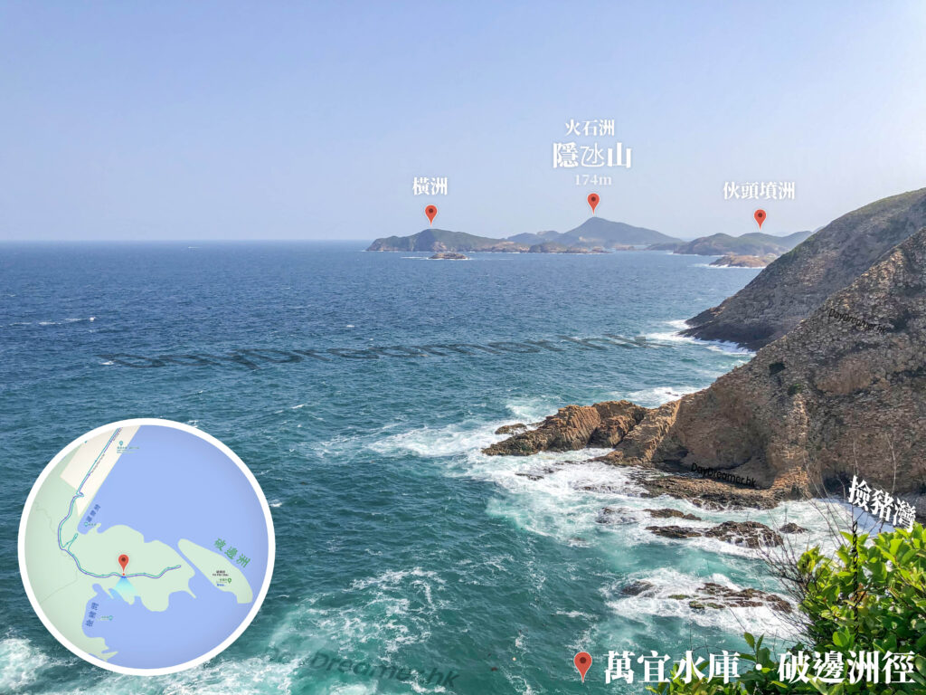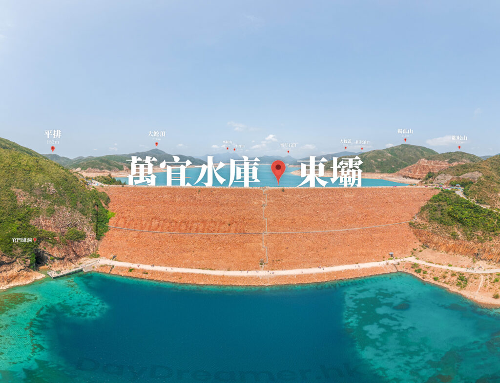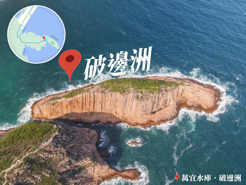
This is a natural cave formed by wave erosion called a 《Sea Cave》, which is a common coastal erosional landform in the Sai Kung area. Before the completion of High Island Reservoir, the sea cave faced the open sea, continuously expanding and deepening through long-term marine erosion. After the reservoir was completed in 1978, the breakwater effectively blocked the crashing waves from the coast. As a result, the sea cave stopped eroding and its evolution slowed down, leaving it preserved in almost the exact same form as it was back then.
📷 相片參數
Camera:
Lenses:
Subjects:
Location:
Place:
District:
Area:
- 📍 經緯度: ,
- |
- ⛰️ 高度:
香港地點:
春風亭
Shui Long Wo Star Lookout
Lin Ma Hang Mine
Cham Shan Monastery
芝加哥大學香港校園
天壇大佛
Robin's Nest Viewpoint
富安花園
Wong Tai Sin Temple Square
Fan Lau Stalagmite
亞公角瞭望所
Sai Kung Public Pier
Coombe Road Children’s Playground
Siu Sai Wan Promenade
Rock Window
玉桂山燈塔
Forbes Street Stone Wall Trees
Fan Lau Fort
昂坪廣場
Tsin Yue Wan Campsite
East Dam Pavilion
天梯石
香港回歸紀念亭
A Kung Kok Lookout
香港地方: