2022.12.11 SUN
【Hiking • 019】
Crossing The Frog 🐸 Journey – Hong Kong Island
劏青蛙 🐸 之 橫跨香港島 • 東西兩極
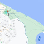
Crossing the Frog 🐸 Journey is a challenging route that traverses Hong Kong Island from one end to the other. Because the map of Hong Kong Island resembles the shape of a frog, this cross-island route is famously known as 『Slicing the Frog 🐸 (劏青蛙)』. This particular version of the itinerary takes a relatively manageable path, starting from MTR Kennedy Town Station and passing through Mount Davis, Lung Fu Shan, Lugard Falls, and Peak Galleria. It then continues through Wong Nai Chung Reservoir , Tai Tam Reservoir, Hong Kong Trail – Section 6 & 8, and the Pottinger Peak Country Trail, finally finishing at 【Siu Sai Wan Promenade. The entire route spans approximately 24 kilometers and takes about 8 to 9 hours to complete, making it ideal for seasoned hikers with good physical stamina. If you are looking to push your limits, why not take on this feat of crossing the east and west poles of Hong Kong Island? 😆💪🏻 It is sure to be an unforgettable journey.
MTR Kennedy Town Station → Mount Davis → Lung Fu Shan → Lugard Falls → Peak Galleria → Wong Nai Chung • Reservoir → Tai Tam Reservoir → Hong Kong Trail – Section 6 → Hong Kong Trail – Section 8 → Pottinger Peak Country Trail → Siu Sai Wan Promenade

路線簡介
MTR Kennedy Town Station → Mount Davis → Lung Fu Shan → Lugard Falls → Peak Galleria → Wong Nai Chung • Reservoir → Tai Tam Reservoir → Hong Kong Trail – Section 6 → Hong Kong Trail – Section 8 → Pottinger Peak Country Trail → Siu Sai Wan Promenade
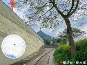
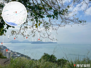
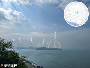
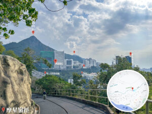
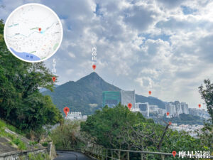
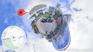
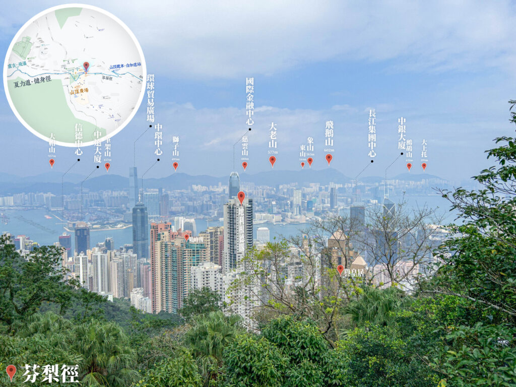
【Start】 Setting off from MTR Kennedy Town Station, head along Smithfield before turning into Mount Davis Path to begin your ascent of Mount Davis. As the westernmost peak on Hong Kong Island, standing at 260 meters, it is home to a wealth of military relics, including World War II-era gun batteries. From the summit, you can enjoy a magnificent panorama of Victoria Harbour. Afterward, follow the mountain trail towards Lung Fu Shan. Although Lung Fu Shan Country Park is the smallest country park in Hong Kong, it offers beautiful scenery perfect for a leisurely stroll. Continuing forward, you will reach Lugard Falls, a hidden waterfall with crystal-clear water and a fantastic spot for photography.
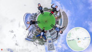
【Middle】 From Lugard Falls, follow the path towards the Peak Galleria. This famous landmark is a major tourist attraction in Hong Kong, featuring several observation decks with 360-degree views of the city skyline. It is also an ideal spot for supplies and a break, offering a wide variety of restaurants and shops. After leaving the Peak Galleria, head downhill and pass by Wong Nai Chung Reservoir. Built in the 19th century, it is one of Hong Kong’s oldest reservoirs, surrounded by lush woodlands and a tranquil atmosphere. Keep going until you arrive at the Tai Tam Reservoir. Comprising four separate reservoirs, it is one of the largest reservoir systems in Hong Kong and is truly picturesque.
【Finish】 Next, trek along Hong Kong Trail – Section 6, a scenic route that showcases the natural beauty of Hong Kong Island. Then, transition into Hong Kong Trail – Section 8; while this section is more rugged and challenging, the vistas are even more grand. Finally, follow the Pottinger Peak Country Trail, a beautiful path that offers a bird’s-eye view of Siu Sai Wan and the Clear Water Bay Peninsula, eventually finishing at the Siu Sai Wan Promenade.

Here are the reference statistics for this journey:
Transport Guide
START
MTR Kennedy Town Station
- 🚇 MTR Kennedy Town Statio, Exit C
END
Siu Sai Wan Promenade
- Head to the Island Resort Public Transport Interchange to take a bus back to Causeway Bay or Kowloon urban areas.
📷 Tips:
- Since you’ll be finishing at the Promenade, the Island Resort bus terminus is just a short walk away. From there, you’ll find plenty of 『Cross-Harbour』 buses (starting with the number 1 or 6) to get you back to Kowloon or the 788/789 for a fast trip to Central and Admiralty!
Route Breakdown
🚩
Start
《Kennedy Town → Mount Davis → Peak Galleria》
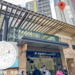
1. 📍 Start: 🚇 MTR Kennedy Town Station

🚇 MTR Kennedy Town Station
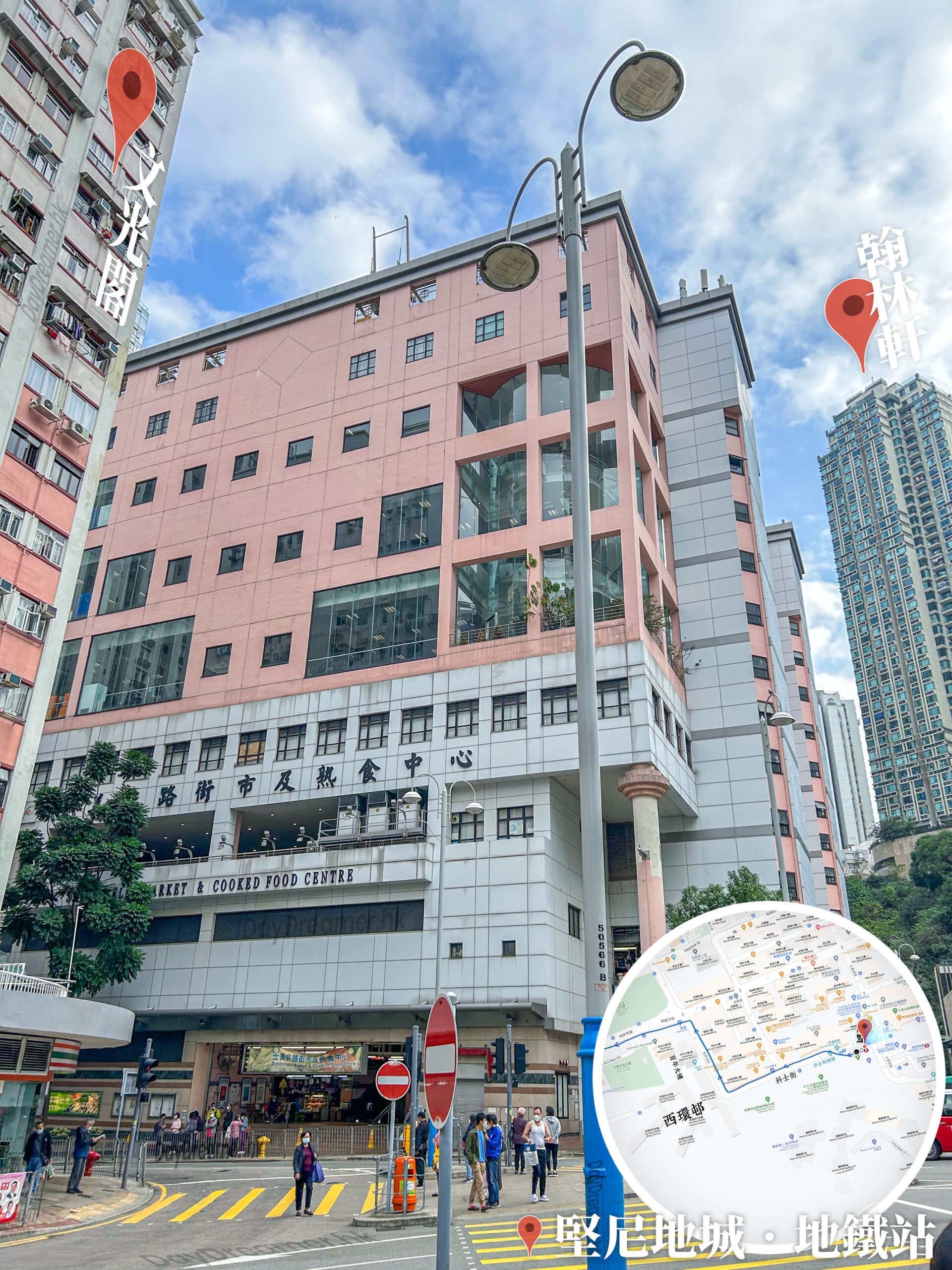
Smithfield Cooked Food Centre
2. 📍 Forbes Street Stone Wall Trees
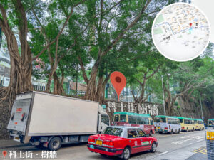

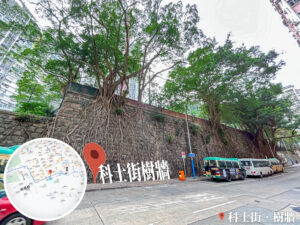
Forbes Street Stone Wall Trees
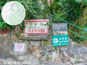
3. 📍 Tung Yuen Terrace, West Wan Estate
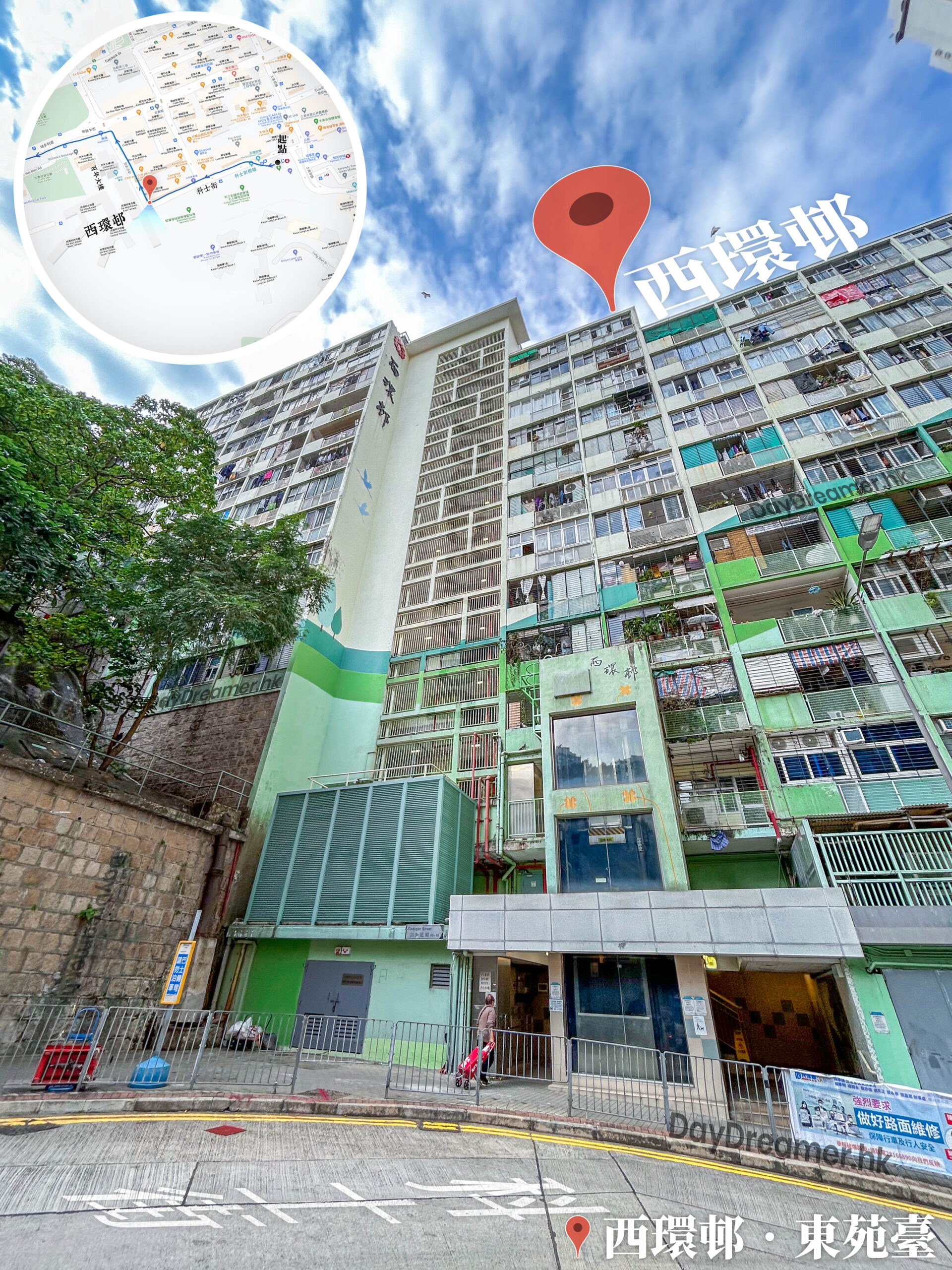
Tung Yuen Terrace, West Wan Estate
4. 📍 Block 2, Centennial Mansion
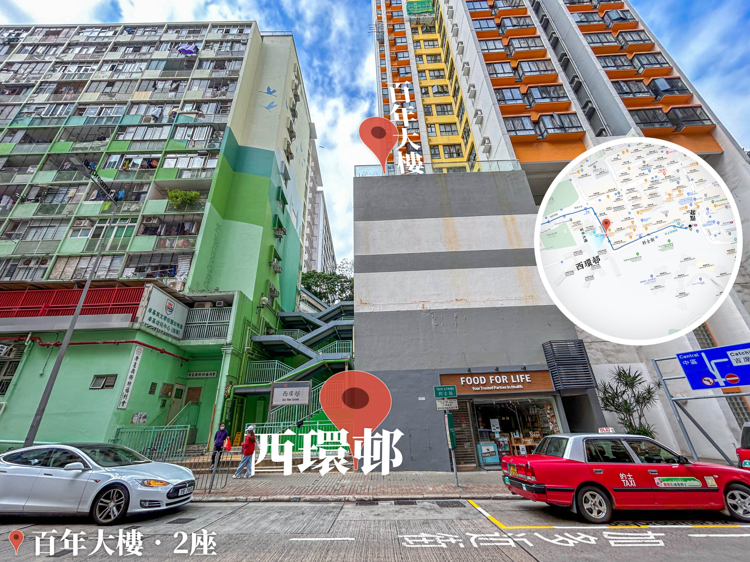
Block 2, Centennial Mansion
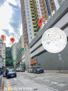
Reach the end of Forbes Street and turn right into Cadogan Street. Centennial Mansion is a veteran residential estate in the district, consisting of two 26-story towers. Its prime location near the MTR station and surrounding amenities makes it a classic housing choice in the west.
5. 📍 Cadogan Street / Victoria Road
Cadogan Street / Victoria Road
6. 📍 Mount Davis Path, Entrance

Mount Davis Path, Entrance
7. 📍 Mount Davis Path 《I》

Mount Davis Path 《I》
8. 📍 Mount Davis Path 《II》
Mount Davis Path 《II》
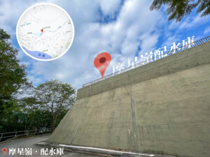
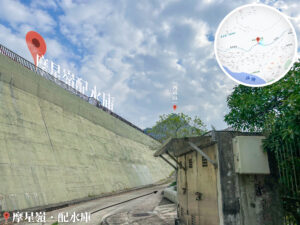
9. 📍 Mount Davis Service Reservoir
Mount Davis Service Reservoir
10. 📍 Mount Davis Path 《III》
Mount Davis Path 《III》
11. 📍 Mount Davis Path 《IV》
Mount Davis Path 《IV》
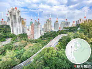
12. 📍 Mount Davis Road 《I》

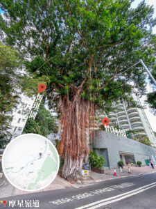
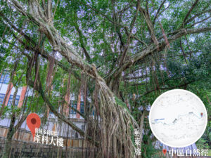
Gazing at High West / Weeping Fig
13. 📍 Greenery Garden


Greenery Garden
14. 📍 Mount Davis Road 《II》

Mount Davis Road 《II》
15. 📍 Mount Davis Road 《III》
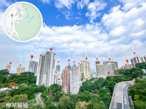
Looking Down at Smithfield
16. 📍 Mount Davis Road 《IV》
Mount Davis Road 《IV》
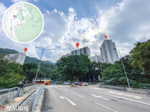
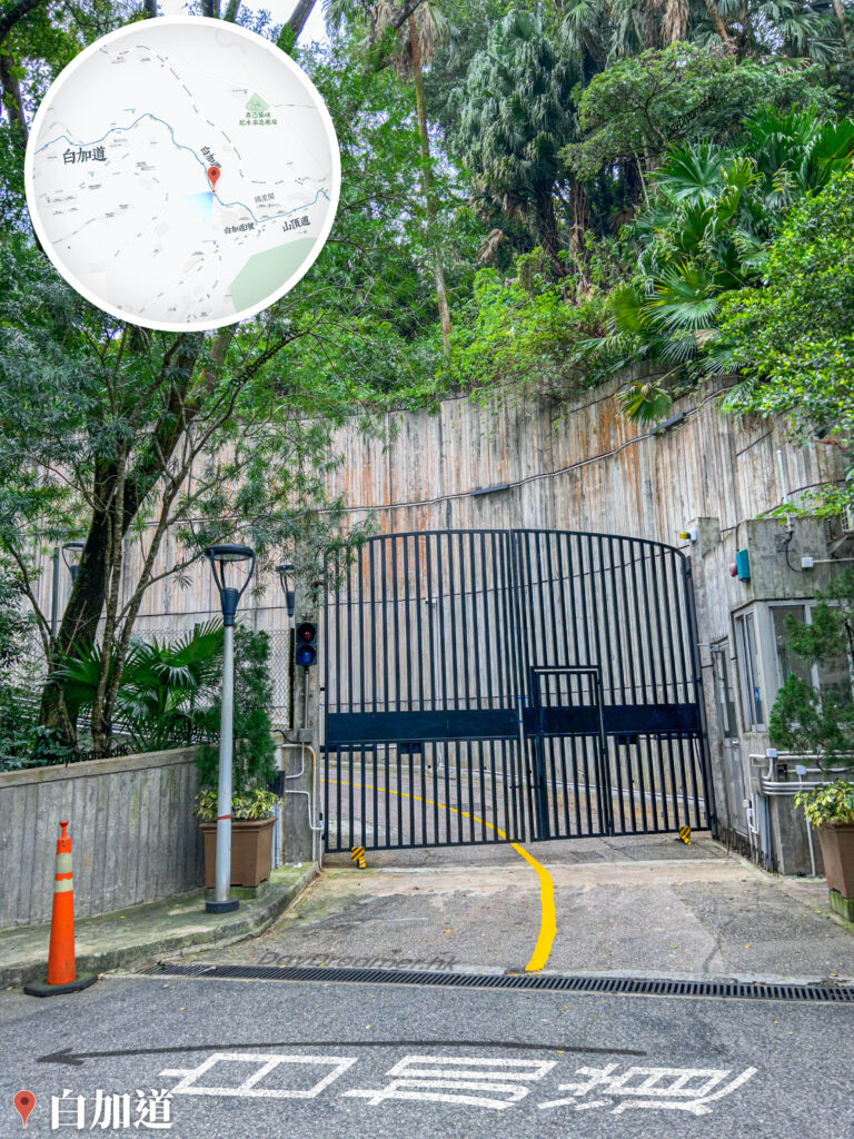
17. 📍 Old Pok Fu Lam Road / Cape Mansion


Old Pok Fu Lam Road / Cape Mansion
18. 📍 Pik Shan Path 《I》

Pik Shan Path 《I》
19. 📍 Pik Shan Path 《II》
Pik Shan Path 《II》
20. 📍 Pik Shan Path 《III》 / Lung Fu Shan Country Park – Chinese Herb Garden
Pik Shan Path 《III》 / Lung Fu Shan Country Park – Chinese Herb Garden
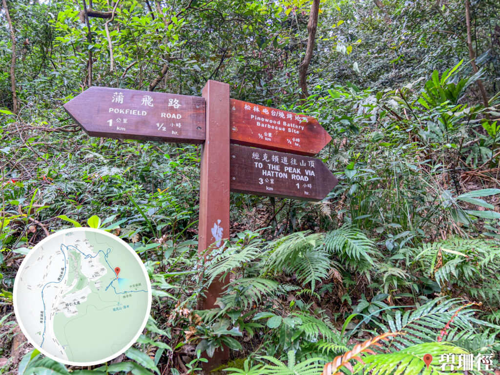
21. 📍 Pik Shan Path 《IV》
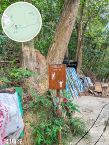
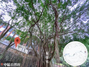
Pik Shan Path – Fitness Facilities
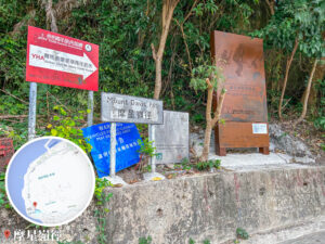
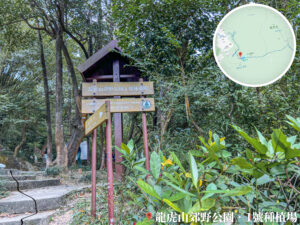
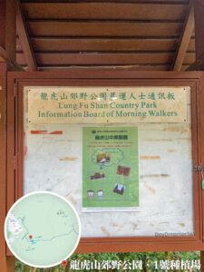
22. 📍 Lung Fu Shan Fitness Trail 《I》

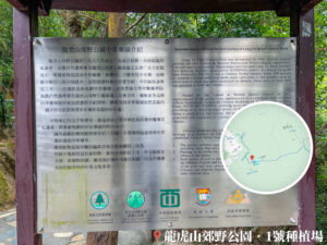
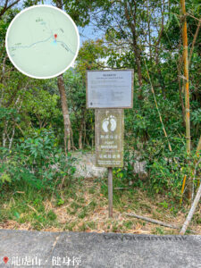
Pinewood Battery – Information Board
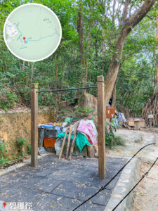
23. 📍 Lung Fu Shan Fitness Trail 《II》

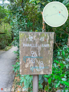
Fitness Trail, Pebble Path / Parallel Bars
24. 📍 Lung Fu Shan Fitness Trail 《III》
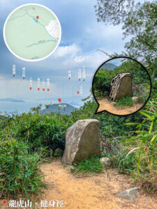
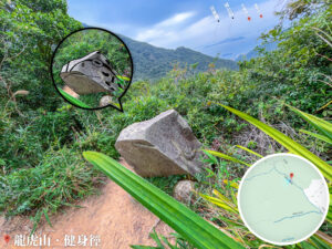
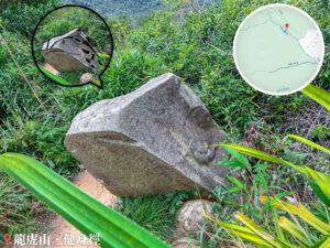
Fitness Trail – 🐸Frog Rock
25. 📍 Harlech Road Fitness Trail 《I》

Harlech Road Fitness Trail 《I》
26. 📍 Lugard Falls


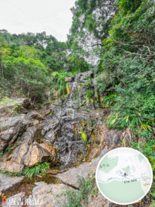
Lugard Falls
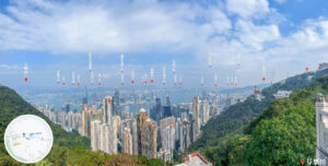
27. 📍 Peak Road Garden / Peak Galleria
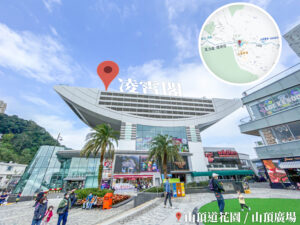
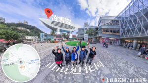
Peak Galleria
Route Breakdown
🏁
Finish
《Peak Galleria → Tai Tam Reservoir → Siu Sai Wan》
28. 📍 Findlay Road
Findlay Road
29. 📍 The Peak – Lions Pavilion


The Peak – Lions Pavilion
30. 📍 Central Nature Trail, Old Victoria Hospital Maternity Block
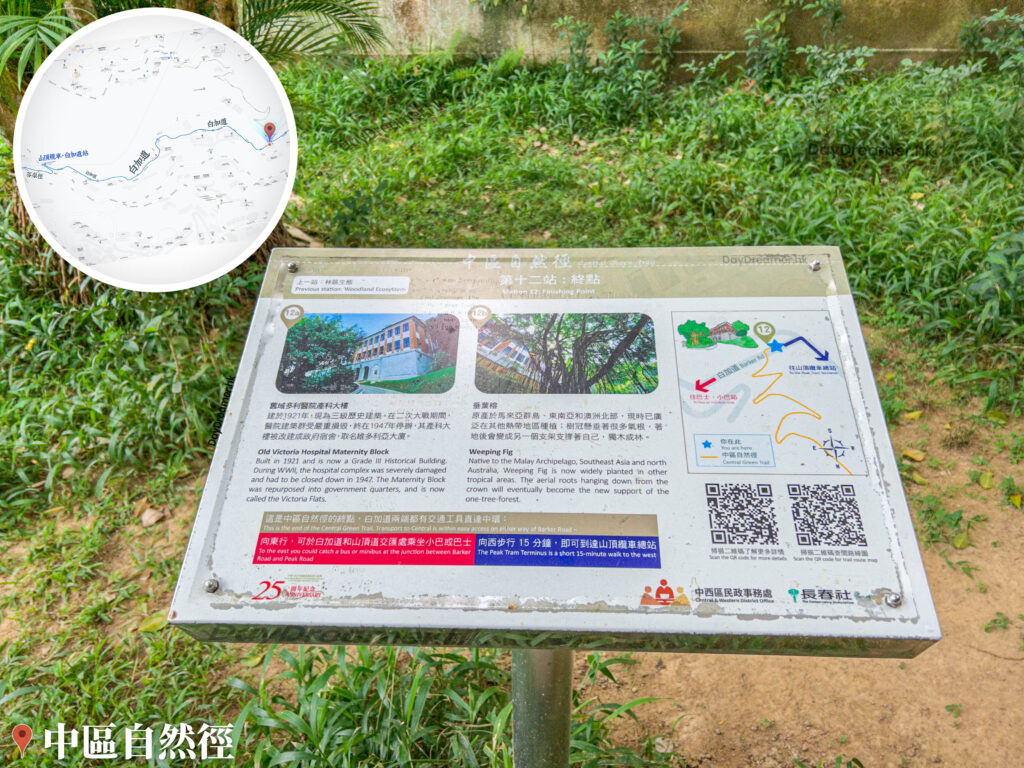
Central Nature Trail
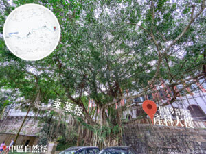
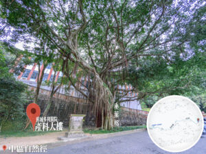


Old Victoria Hospital Maternity Block
31. 📍 Barker Road, The Stiff-Necked Lamppost

Barker Road, The Stiff-Necked Lamppost
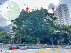
32. 📍 No. 1 Barker Road
No. 1 Barker Road
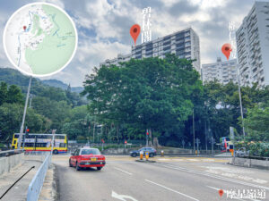
33. 📍 No. 21 Coombe Road

No. 21 • Coombe Road (甘道 • 21號)
34. 📍 Coombe Road Children’s Playground 🎠

Coombe Road Children’s Playground
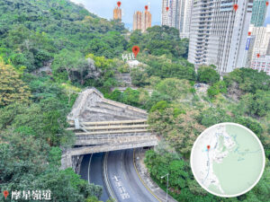
35. 📍 Black’s Link 《Gazing at Mount Nicholson | Mask Rock》

Black’s Link, Gazing at Mount Nicholson, Mask Rock
📷 Tips:
- Mask Rock (面具石) is a unique granite formation on the southern slope of Mount Nicholson. Standing 10 meters tall, it resembles a human face with distinct eyes, a nose, and a mouth. Next to it is a narrow crevice known as A Slice of Heaven Stone Chamber, which leads to the side of the rock for a stunning view of Repulse Bay.
36. 📍 Wong Nai Chung Gap Road
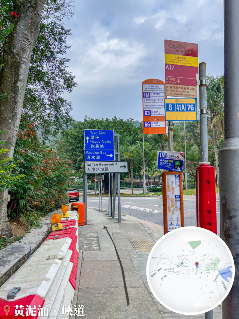
Wong Nai Chung Gap Road
37. 📍 Tai Tam Reservoir Road, No. 1 Repulse Bay Road, Portier Marie

Portier Marie, No. 1 Repulse Bay Road
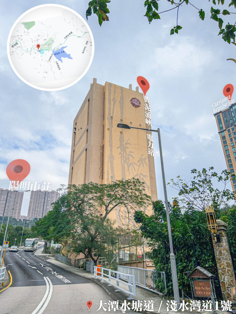
Tai Tam Reservoir Road

Wong Nai Chung Power Station
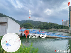
38. 📍 Wong Nai Chung Reservoir, Entrance

Wong Nai Chung Reservoir, Entrance
39. 📍 Wong Nai Chung Reservoir Park
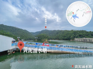
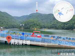
Wong Nai Chung Reservoir Park
40. 📍 Tai Tam Country Trail 《I》

Tai Tam Country Trail 《I》
41. 📍 Tai Tam Country Park

Tai Tam Country Park
42. 📍 Tai Tam Family Walk

Tai Tam Family Walk
43. 📍 Tai Tam Country Trail 《II》

Tai Tam Country Trail 《II》
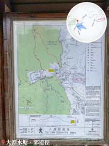
44. 📍 Tai Tam Reservoir, Public Toilet / Owl Sculpture🦉 / Water Station💧

Tai Tam Reservoir, Public Toilet / Owl Sculpture🦉 / Water Station💧
45. 📍 Tai Tam Waterworks Heritage Trail

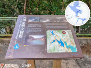
Tai Tam Waterworks Heritage Trail
46. 📍 Hong Kong Trail – Section 6 / Towards Quarry Gap

Hong Kong Trail – Section 6, Quarry Gap Signpost
47. 📍 Tai Tam Reservoir – Main Dam
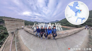
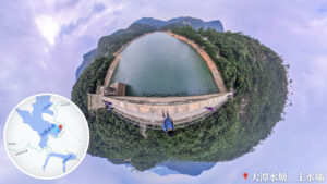
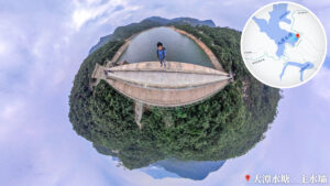
Tai Tam Reservoir – Main Dam
48. 📍 Hong Kong Trail – Section 6 / Mount Parker Section

Hong Kong Trail – Section 6 / Mount Parker Section
49. 📍 Tai Tam Road / Shek O Road
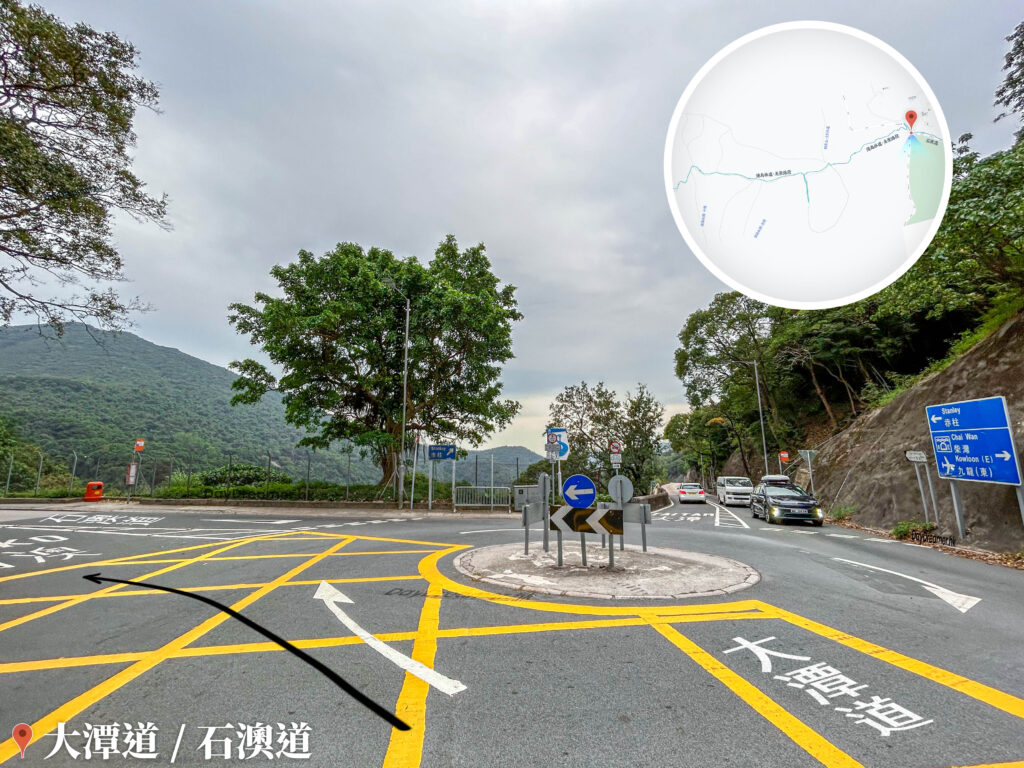
Tai Tam Road / Shek O Road
50. 📍 Shek O Country Park
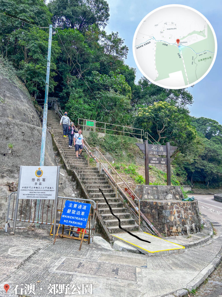
Shek O Country Park
51. 📍 Hong Kong Trail / Dragon’s Back
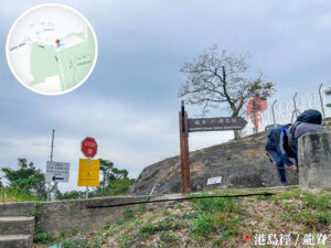
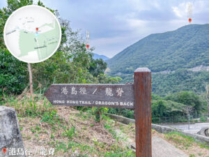
Hong Kong Trail / Dragon’s Back
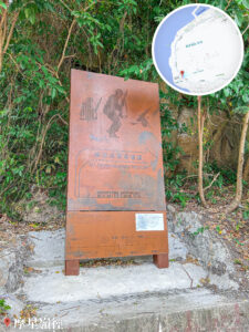
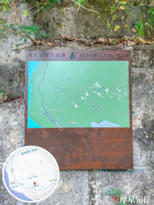
52. 📍 Dragon’s Back – Map Information Board
Dragon’s Back – Map Information Board
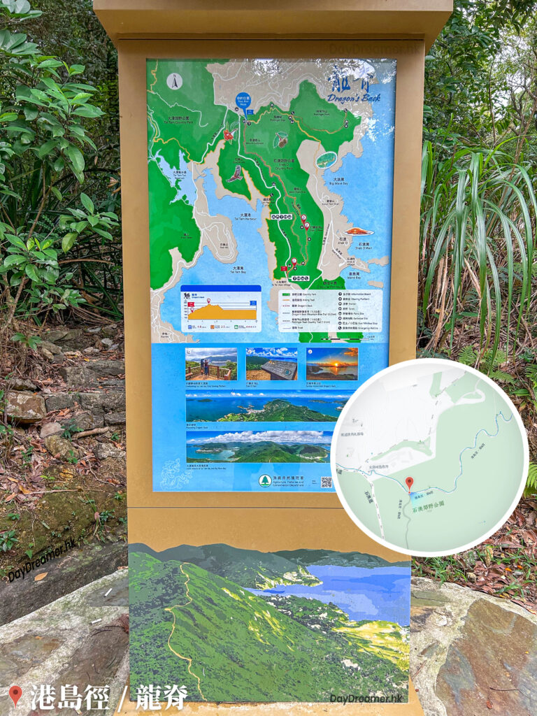
53. 📍 Hong Kong Trail – Section 8 / Pottinger Peak Country Trail 《I》
Pottinger Peak Country Trail – Map Information Board
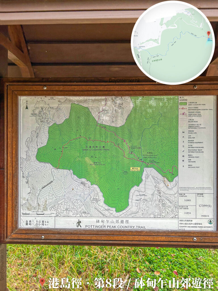
54. 📍 Pottinger Peak Country Trail 《II》
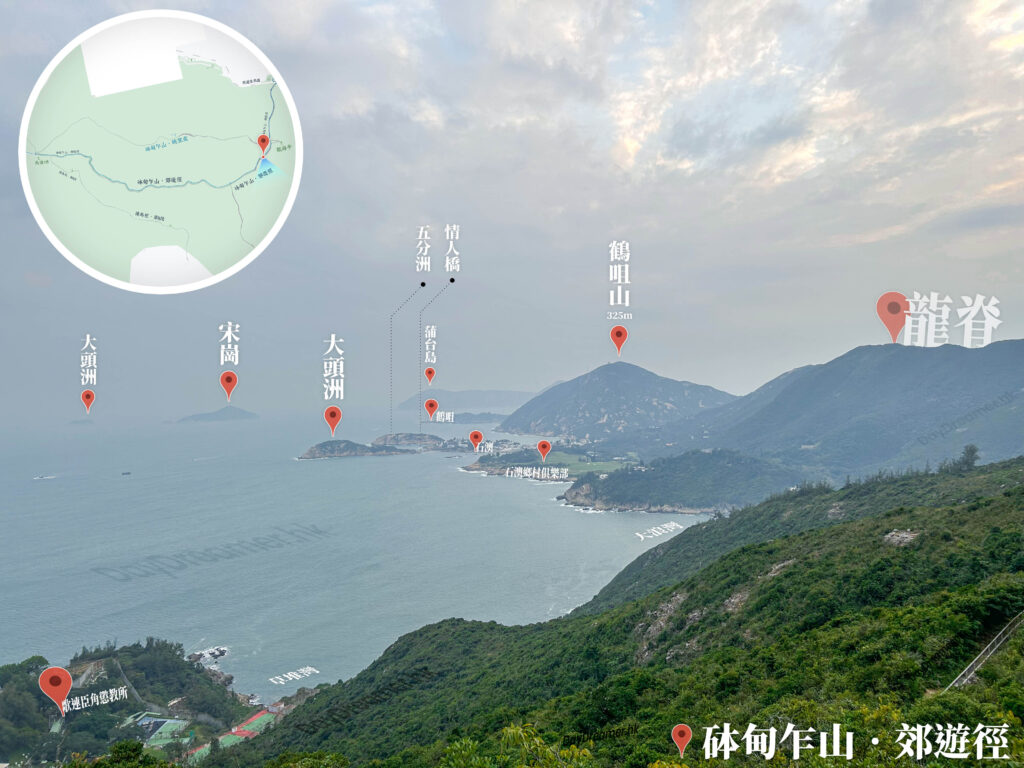
Pottinger Peak Country Trail
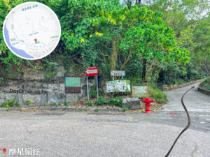
55. 📍 Cape Collinson Road, Morning Joy Pavilion
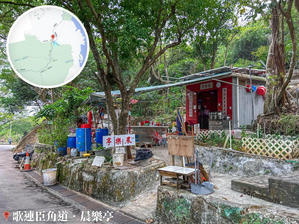
Cape Collinson Road, Morning Joy Pavilion
At the end of the trail, you will reach the Morning Joy Pavilion (晨樂亭), a popular rest spot for morning walkers and hikers to refuel.
56. 📍 Siu Sai Wan Promenade

Siu Sai Wan Promenade
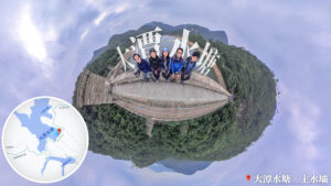
🫡 Acknowledgements:
- We couldn’t have completed this 『Crossing the Frog 🐸』 challenge without the brilliant leadership of Yan. Thank you 😄!