2022.04.03 SUN
【Hiking • 012】
Hung Shek Mun . Sam A Tsuen . Mui Sam Ancient Trail
紅石門 . 三椏村 . 苗三古道
“This hiking route kicks off from Wu Kau Tang, hitting Miu Sam Ancient Trail, Tai Tung, Hung Shek Mun, and Sam A Village along the way, before looping back to Wu Kau Tang via Lai Sam Ancient Trail. The whole trek is roughly 20km and takes about 8 to 9 hours to complete—definitely one for the fit hikers. With stunning natural scenery and historic ruins at every turn, it’s a properly solid hiking experience.”
Wu Kau Tang → Miu Sam Ancient Trail → Tai Tung → Hung Shek Mun → Sam A Village → Lai Sam Ancient Trail → Wu Kau Tang

Route Overview
Wu Kau Tang → Miu Sam Ancient Trail → Tai Tung → Hung Shek Mun → Sam A Village → Lai Sam Ancient Trail → Wu Kau Tang
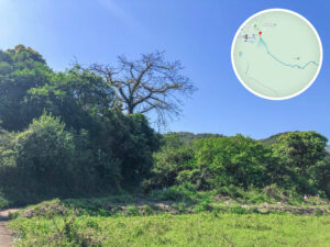
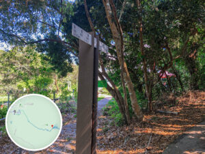
【Start】 The journey kicks off at the Wu Kau Tang Bus Terminus. From here, you’ll first pass through Kau Tam Tso, which is a prime spot for red leaf hunting—especially between December and January when the Sweet Gum trees turn a stunning crimson. Continuing on, you’ll hit the entrance of 『Miu Sam Ancient Trail』. This trail follows a winding stream, offering some seriously chill vibes. As you hike up, you’ll pass Sheung Miu Tin and Ha Miu Tin, where abandoned farmhouses add a touch of rustic, old-school charm. The path then gets a bit steep as you climb towards Tai Tung. Perched on the Wang Leng ridgeline, it offers a picture-perfect panorama of 《Double Haven》.
【Middle Section】
“Pushing on from Tai Tung, you’ll reach Hung Shek Mun. This spot is legendary for its unique red rock formations, which date back to volcanic eruptions 180 million years ago. Thanks to high iron content and ages of erosion, the rocks are a vibrant, fiery red—honestly a spectacular sight.
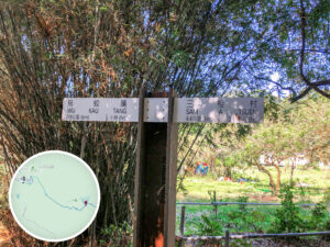
Afterward, double back to 『Miu Sam Ancient Trail』 and head towards Sam A Village. This stretch takes you through a geological viewing area where sedimentary rock, sandstone, and conglomerate create a one-of-a-kind landscape. Sam A Village itself is a peaceful little hamlet with a few authentic Hakka eateries, such as 『Fook Lee Tea House』, 『Hop Yick Bee Farm』, and 『Eco-Guesthouse』, serving up legit Hakka cuisine. The village pier is also a great spot to kick back and soak in the calm bay views.”
【Finish】 Leaving Sam A Village, follow 『Lai Sam Ancient Trail』 back to Wu Kau Tang. Like the other trails, this is a traditional stone-paved path that winds past mangroves and mountain streams. This section is relatively flat, making it the perfect way to wind down and enjoy the natural surroundings as you finish the trek.

Here are the reference statistics for this journey:
Related Videos
Transport Guide
START
MTR Tai Po Market Station
- Take 《Minibus 20R》 and get off at the Wu Kau Tang terminus.
- Take 《Bus 275R》 and get off at the Wu Kau Tang bus terminus (Sundays and Public Holidays only).
- Take a 《Taxi》 to the Wu Kau Tang terminus; the fare is around $HK90 dollars.

Route Breakdown
🚩
Outbound Route
《Wu Kau Tang → Tai Tung → Hung Shek Mun》
1. 📍 Start: Wu Kau Tang Bus Terminus

Start: Wu Kau Tang Bus Terminus
2. 📍 Double Haven Country Trail, Entrance


Double Haven Country Trail, Entrance
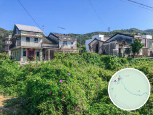
3. 📍 Wah King Yuen (Outbound)
:特色中式拱門圍牆的村屋")
Wah King Yuen (Outbound)
4. 📍 Wu Kau Tang, Public Toilet

Wu Kau Tang, Public Toilet
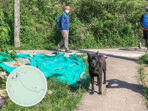
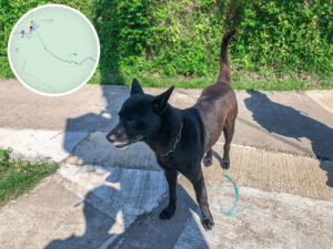
💡 P.S.:
- Ran into two super cute doggos this time!
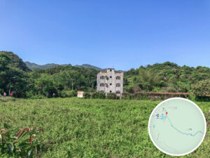
5. 📍 San Uk Ha


San Uk Ha
📷 Tips:
- The houses here still rock that old-school style from decades ago.
6. 📍 Double Haven Country Trail Section 《I》
Double Haven Country Trail Section 《I》
7. 📍 Kau Tam Tso


Kau Tam Tso
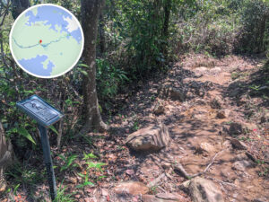
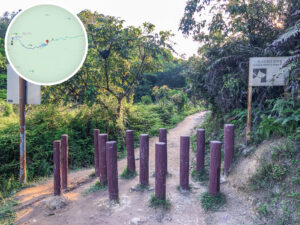
8. 📍 Miu Sam Ancient Trail, Entrance
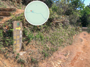
Miu Sam Ancient Trail, Entrance
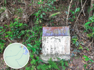
9. 📍 Distance Post C2703

Distance Post C2703
")
Spoon-leaved Sundew
📷 Tips:
- The 『Spoon-leaved Sundew (小毛氈苔)』 《Drosera spatulata》 is a carnivorous plant found across the Asia-Pacific. It loves damp environments. — Source: Wikipedia .
10.
📍
Miu Sam Ancient Trail / Double Haven Country Trail 《I》

Signpost

Miu Sam Ancient Trail / Double Haven Country Trail 《I》
11. 📍 Sheung Miu Tin


Sheung & Ha Miu Tin
12. 📍 Distance Post C2705

Miu Sam Ancient Trail / Double Haven Country Trail 《II》
13. 📍 Ha Miu Tin


Ha Miu Tin
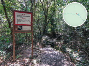
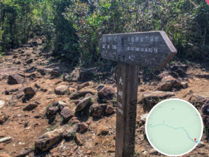
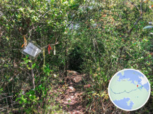
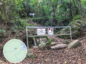
14. Junction, Route Info Board

Junction, Route Info Board
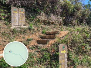
15. 📍 Miu Sam Ancient Trail → Plover Cove Reservoir Country Trail

Tai Tung Signpost

Uphill Warning
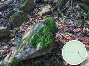

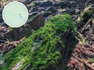
Bryophytes (Mosses)


The Terrain
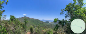
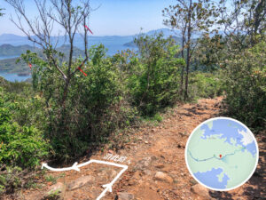
16. 📍 Tai Tung
Tai Tung, The View
17. 📍 Distance Post C2609

Distance Post C2609
18. 📍 Plover Cove Reservoir Country Trail 《I》


Plover Cove Reservoir Country Trail 《I》
19. 📍 Distance Post C2610

Distance Post C2610
20. 📍 Kwun Yam Tung Signpost

Kwun Yam Tung Signpost
21. 📍 Distance Post C2611

Distance Post C2611
22. 📍 Plover Cove Reservoir Country Trail


Plover Cove Reservoir Country Trail
23. 📍 Hung Shek Mun Path, Entrance

Hung Shek Mun Path, Entrance
24. 📍 Hung Shek Mun Trail, Junction 《I》

Hung Shek Mun Trail, Junction 《I》
25. 📍 Hung Shek Mun Trail, Junction 《II》

Hung Shek Mun Trail, Junction 《II》
26. 📍 Ngau Kok Chung Reservoir

Ngau Kok Chung Reservoir
27. 📍 Hung Shek Mun Trail, Junction

Hung Shek Mun Trail, Junction
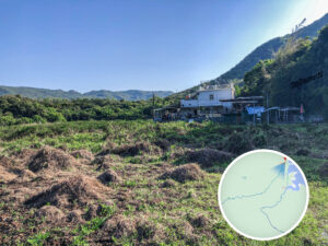
28. 📍 Hung Shek Mun Village

Hung Shek Mun Village, Entrance

Hung Shek Mun Village, Fish Pond

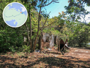
Hung Shek Mun Village, Village Houses

Hung Shek Mun Village, Stove
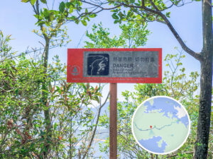
29. 📍 Kin Mun Tsui / Double Haven Marine Park

Kin Mun Tsui / Double Haven Marine Park

Marine Park Sign
30. 📍 Hung Shek Mun, Dam

Hung Shek Mun, Dam 《1》

Hung Shek Mun, Dam 《1》
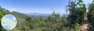
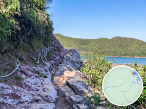
31. 📍 Hung Shek Mun, Coast Views

Hung Shek Mun, Coast Views 《I》

Hung Shek Mun, Coast Views 《II》

The Red Rocks
32. 📍 Hung Shek Mun Bay

Hung Shek Mun Bay
Route Breakdown
🏁
Return Route
《Hung Shek Mun → Sam A Village → Wu Kau Tang》
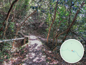
33. 📍 Miu Sam Stream
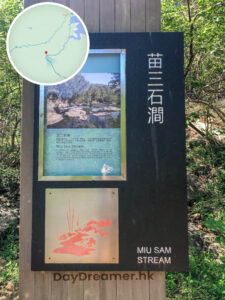

Miu Sam Stream
34. 📍 Distance Post C2706

Distance Post C2706
35. 📍 Miu Sam Ancient Trail / Double Haven Country Trail 《II》

Miu Sam Ancient Trail / Double Haven Country Trail 《II》
36. 📍 Distance Post C2707

Distance Post C2707
37. 📍 Miu Sam Ancient Trail / Double Haven Country Trail 《III》

Miu Sam Ancient Trail / Double Haven Country Trail 《III》
38. 📍 Distance Post C2708


Distance Post C2708
39. 📍 Sam A Chung Campsite

Sam A Chung Campsite
40. 📍 Sam A Chung

Sam A Chung
41. 📍 Miu Sam Ancient Trail / Double Haven Country Trail 《IV》


Miu Sam Ancient Trail / Double Haven Country Trail 《IV》
42. 📍 Distance Post C2709

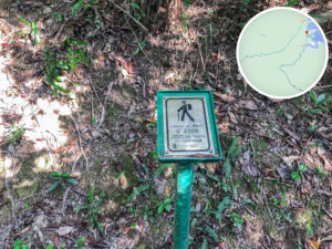
Distance Post C2709
43. 📍 Miu Sam Ancient Trail / Double Haven Country Trail 《V》

Miu Sam Ancient Trail / Double Haven Country Trail 《V》
44. 📍 Red Rock Geomorphology Viewing Area
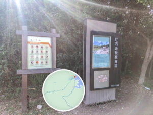

Red Rock Geomorphology Viewing Area
Layers of fine silt settled underwater and, over millions of years, cemented into solid rock. Times have changed and the delta is long gone, but these rocks now sit on the surface, adding a pop of color to the coastline.
45. 📍 Distance Post C2710

Distance Post C2710
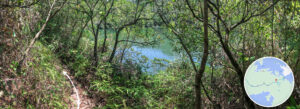
46. 📍 Sam A Wan / Double Haven Marine Park

Sam A Wan / Double Haven Marine Park
47. 📍 Sam A Village, Entrance

Sam A Village, Entrance

Sam A Village, Info Board
48. 📍 Lai Sam Ancient Trail 《I》

Lai Sam Ancient Trail 《I》
49. 📍 Sam A Village, Junction

Sam A Village, Junction

Sam A Village → Wu Kau Tang, Signpost
50. 📍 Fook Lee Tea House
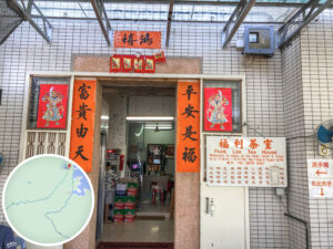
Fook Lee Tea House
51. 📍 Lai Sam Ancient Trail 《II》
Lai Sam Ancient Trail 《II》
Passing the Sam A Village sign at this end of the trail, leave the tea house behind and follow Lai Sam Ancient Trail back toward Wu Kau Tang.
52. 📍 Lai Sam Ancient Trail 《III》

Lai Sam Ancient Trail 《III》
53. 📍 Lai Sam Ancient Trail → Wu Kau Tang, Exit

Lai Sam Ancient Trail → Wu Kau Tang, Exit
54. 📍 Wah King Yuen (Return)
:黃昏斜陽下的華景苑大宅")
Wah King Yuen (Return)
55. 📍 Finish: Wu Kau Tang, Bus Terminus

