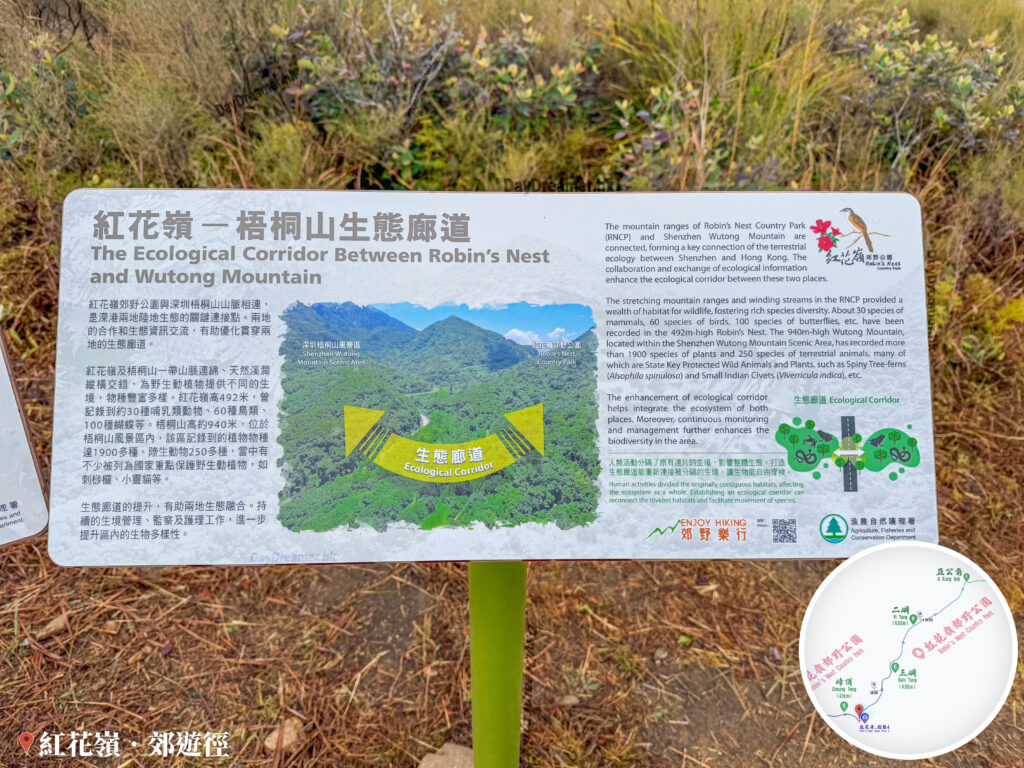
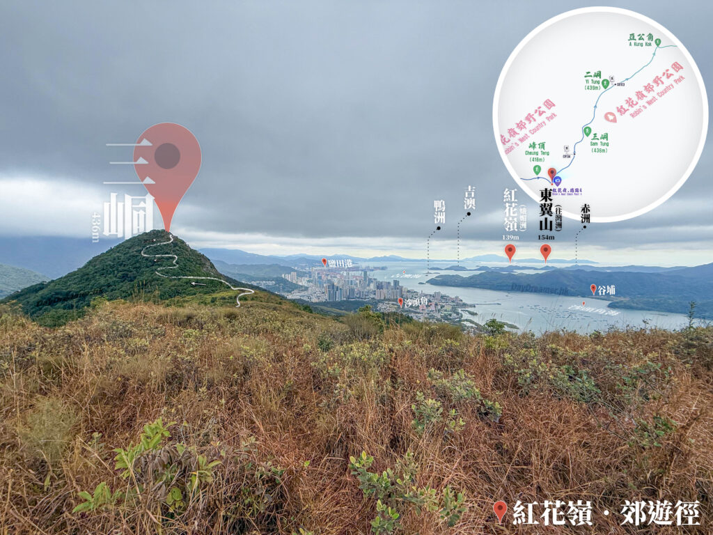
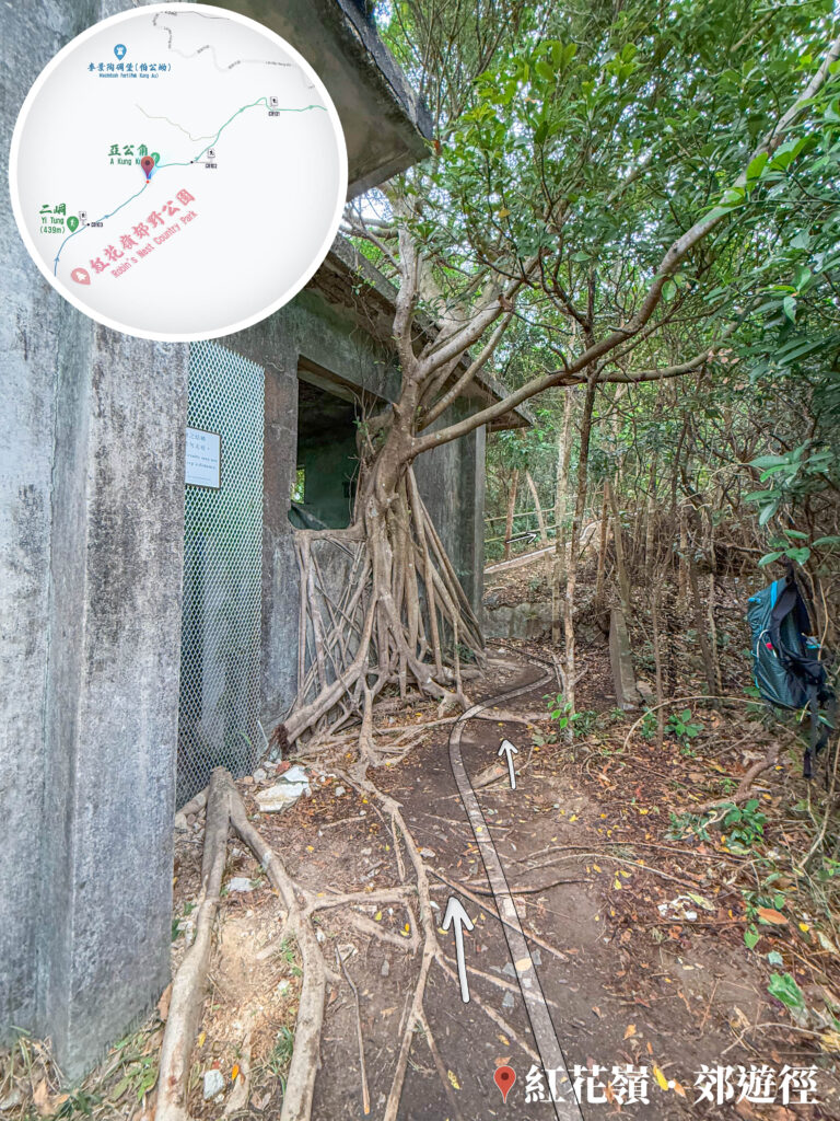
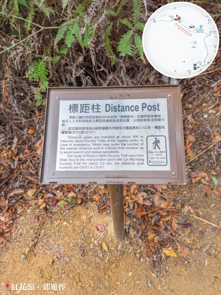
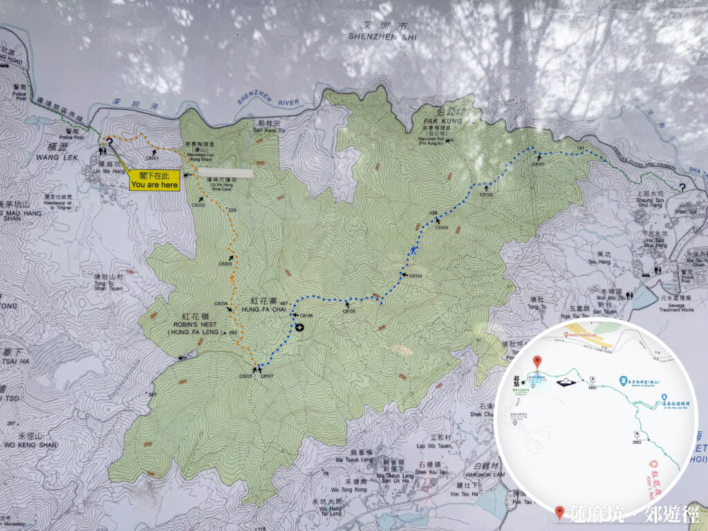
新界紅花嶺郊野公園遠足路線地圖局部放大特寫,地圖清晰描繪邊境禁區周邊的等高線地形,包含新桂田、伯公坳、橫瀝等新界鄉郊地名。圖中詳細標示出從蓮麻坑村出發,途經麥景陶碉堡(礦山)、蓮麻坑鉛礦洞、紅花嶺(492米)以至紅花寨(487米)的官方遠足徑走向。圖片右下角附有簡要的行山路線指南。
📷 相片參數
Camera:
Lenses:
Subjects:
Location:
District:
Area:
香港地點:
狗嶺涌營地
心經簡林
亞公角瞭望所
The Peak Galleria
鞍山探索館
Clearwater Bay Equestrian and Education Centre
陽元石
East Dam Pavilion
福利茶室
The University of Chicago Francis and Rose Yuen Campus in Hong Kong
Greenery Garden
Robin's Nest Viewpoint
山頂廣場
Pak Sha O Youth Hostel
Biu Tsim Kok Viewing Platform
Lei Tung Shopping Centre
Ngong Ping Village
官門遺洞
白沙澳青年旅舍
Kau Ling Chung View Compass
美督明珠
分流石筍
九龍坳風雨亭
Lugard Falls
心經簡林
亞公角瞭望所
The Peak Galleria
鞍山探索館
Clearwater Bay Equestrian and Education Centre
陽元石
East Dam Pavilion
福利茶室
The University of Chicago Francis and Rose Yuen Campus in Hong Kong
Greenery Garden
Robin's Nest Viewpoint
山頂廣場
Pak Sha O Youth Hostel
Biu Tsim Kok Viewing Platform
Lei Tung Shopping Centre
Ngong Ping Village
官門遺洞
白沙澳青年旅舍
Kau Ling Chung View Compass
美督明珠
分流石筍
九龍坳風雨亭
Lugard Falls
香港地方: