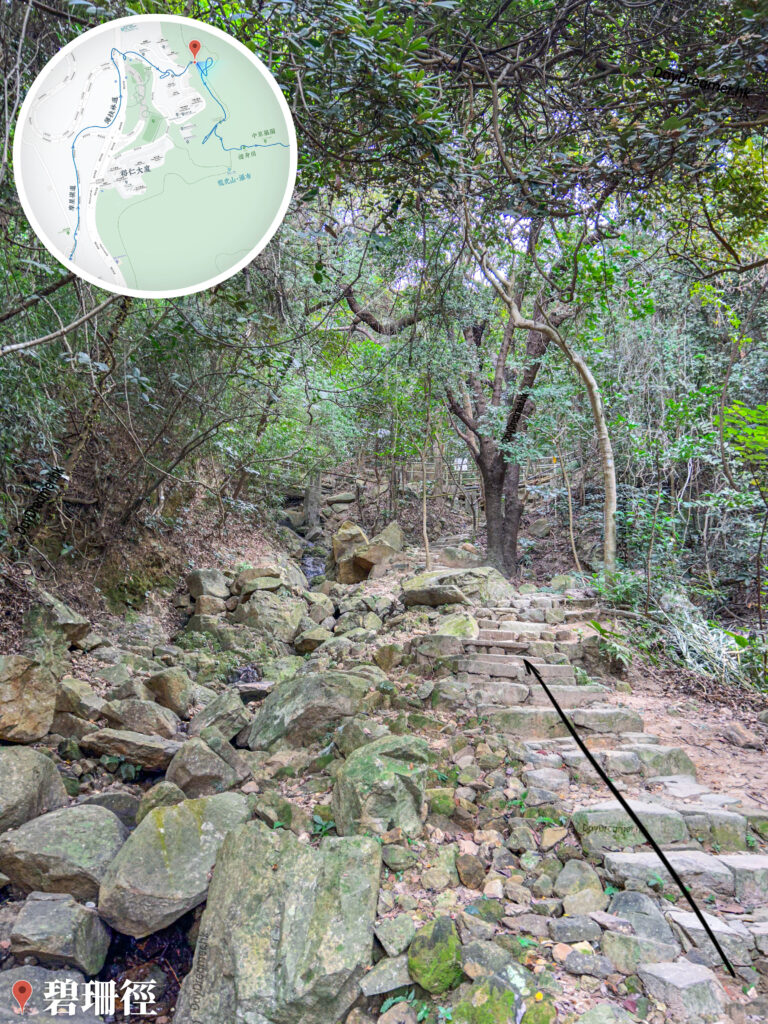
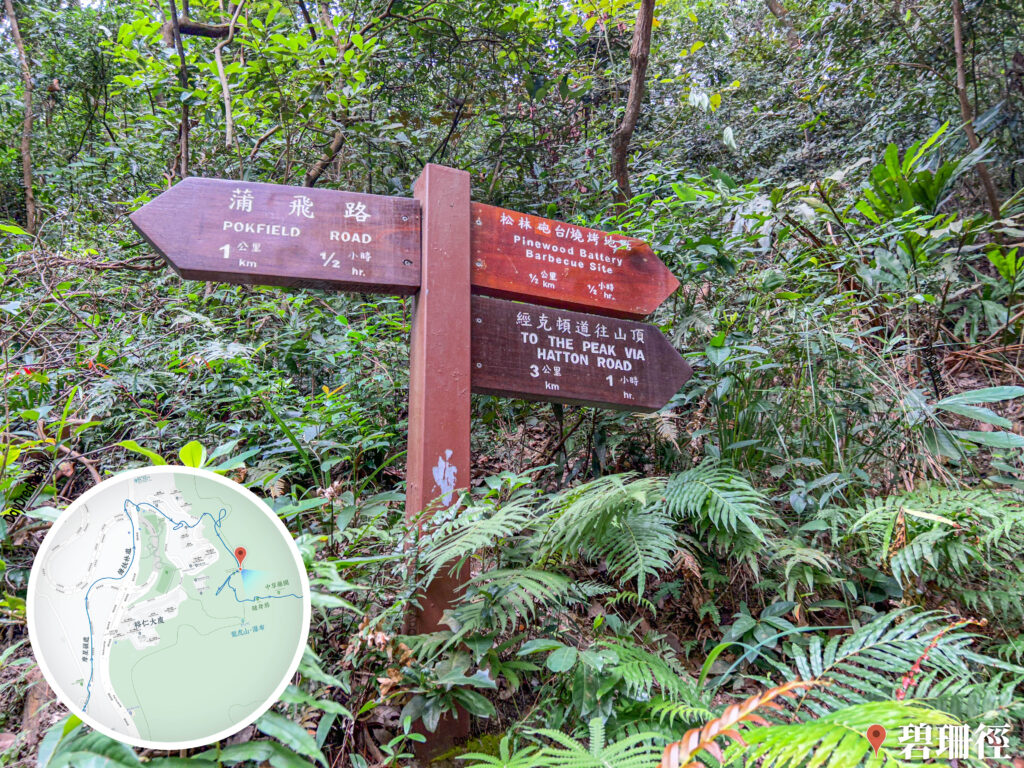
Pik Shan Path is a hiking trail located in the western part of Hong Kong Island, spanning a total length of about 3.5 kilometres and forming part of the historic Kwan Tai Lo (Skirt-way). It connects the Lung Fu Shan Environmental Education Centre, The University of Hong Kong, Pok Fu Lam Road, and Queen Mary Hospital. The trail is lined with plenty of tree shade, small bridges, and flowing streams, making it highly suitable for all ages. The name of Pik Shan Path is derived from a wild flower that grows in Hong Kong, also known as the violet (Viola philippica), which bears pale purple or white blossoms.
📷 相片參數
Camera:
Lenses:
Keywords:
Subjects:
Location:
District:
Area:
香港地點:
MacIntosh Fort Kong Shan
亞公角瞭望所
Fat Jong Temple
昂坪廣場
Coombe Road Children’s Playground
湛山寺
Loi Kee Store
東山法門
Penis Rock
Wu Tip Shan Tai Chi Garden
Clearwater Bay Equestrian and Education Centre
狗嶺涌營地
蓮麻坑礦場
松林炮台
Forbes Street Stone Wall Trees
養心書院
Chek Keng Pier
Kau Ling Chung Campsite
分流炮台
Ngong Ping Campsite (Lantau Peak)
Tai Po Market Minibus Terminus
清水灣騎術學校及教育中心
Wong Shek Pier
官門遺洞
亞公角瞭望所
Fat Jong Temple
昂坪廣場
Coombe Road Children’s Playground
湛山寺
Loi Kee Store
東山法門
Penis Rock
Wu Tip Shan Tai Chi Garden
Clearwater Bay Equestrian and Education Centre
狗嶺涌營地
蓮麻坑礦場
松林炮台
Forbes Street Stone Wall Trees
養心書院
Chek Keng Pier
Kau Ling Chung Campsite
分流炮台
Ngong Ping Campsite (Lantau Peak)
Tai Po Market Minibus Terminus
清水灣騎術學校及教育中心
Wong Shek Pier
官門遺洞
香港地方: