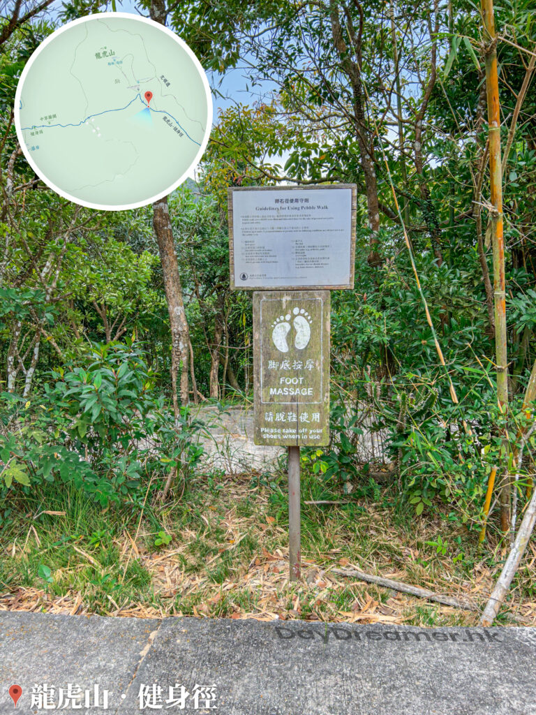
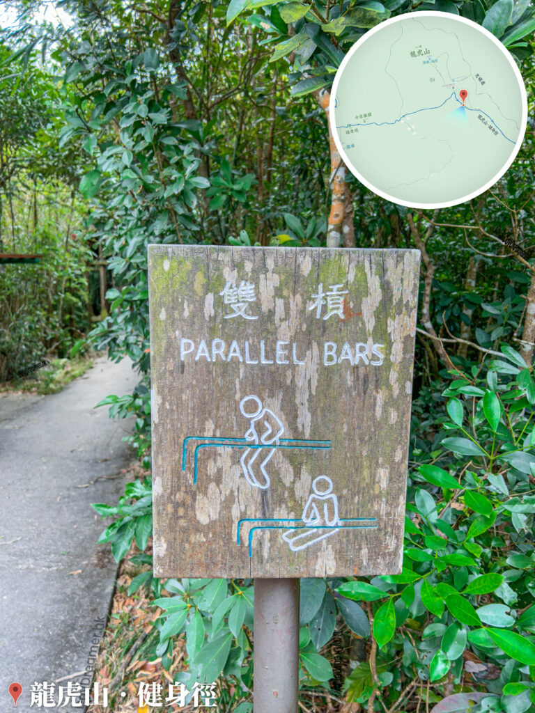
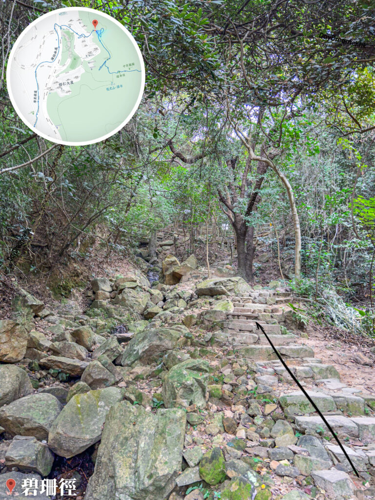
Pik Shan Path is a hiking trail located in the western part of Hong Kong Island, spanning a total length of about 3.5 kilometres and forming part of the historic Kwan Tai Lo (Skirt-way). It connects the Lung Fu Shan Environmental Education Centre, The University of Hong Kong, Pok Fu Lam Road, and Queen Mary Hospital. The trail is lined with plenty of tree shade, small bridges, and flowing streams, making it highly suitable for all ages. The name of Pik Shan Path is derived from a wild flower that grows in Hong Kong, also known as the violet (Viola philippica), which bears pale purple or white blossoms.
📷 相片參數
Camera:
Lenses:
Keywords:
Subjects:
Location:
Place:
District:
Area:
香港地點:
官門遺洞
Lung Ha Wan Kite Flying Area
來記士多
黃大仙祠前廣場
Clearwater Bay Equestrian and Education Centre
Ngong Ping Campsite (Lantau Peak)
Old Victoria Hospital Maternity Block
Chek Keng Pier
梅窩碼頭
Wong Shek Pier
龍蝦灣石灘
士美菲路街市及熟食中心
Ngong Ping Piazza
昂坪廣場
Wu Tip Shan Tai Chi Garden
Cham Shan Monastery
小西灣海濱花園
水浪窩觀星台
舊域多利醫院產科大樓
深涌農莊
春風亭
天壇大佛
摩星嶺配水庫臨時花園
Hong Kong Reunification Pavilion
Lung Ha Wan Kite Flying Area
來記士多
黃大仙祠前廣場
Clearwater Bay Equestrian and Education Centre
Ngong Ping Campsite (Lantau Peak)
Old Victoria Hospital Maternity Block
Chek Keng Pier
梅窩碼頭
Wong Shek Pier
龍蝦灣石灘
士美菲路街市及熟食中心
Ngong Ping Piazza
昂坪廣場
Wu Tip Shan Tai Chi Garden
Cham Shan Monastery
小西灣海濱花園
水浪窩觀星台
舊域多利醫院產科大樓
深涌農莊
春風亭
天壇大佛
摩星嶺配水庫臨時花園
Hong Kong Reunification Pavilion
香港地方: