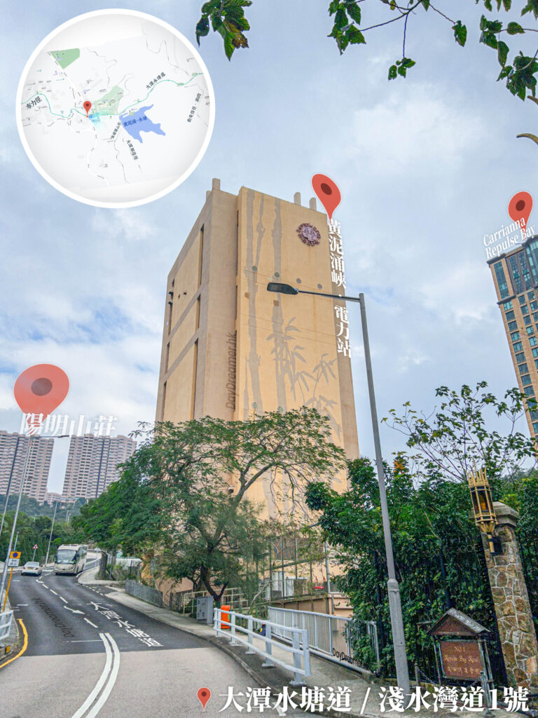
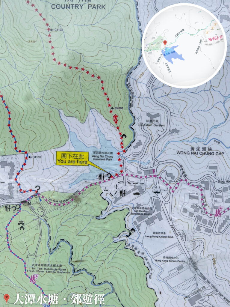
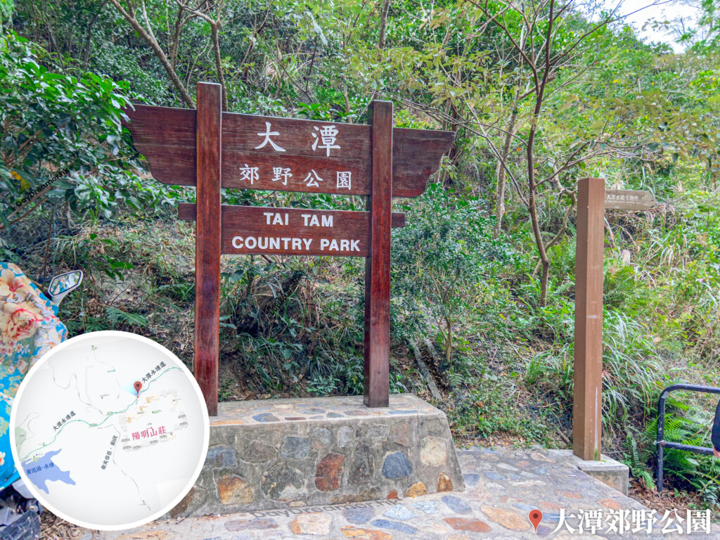
The Tai Tam Country Trail is a hiking path located in the Southern District of Hong Kong Island, spanning a total length of about 5.2 kilometres and taking around 2 hours to complete. Centred around the Wong Nai Chung Reservoir Park, it forms a circular loop route. Along the trail, hikers can appreciate the historical architecture of various waterworks facilities, including dams, valve houses, stone bridges, and aqueducts. These structures not only bear witness to the development of Hong Kong’s water supply and historical transformations but also showcase the engineering techniques and architectural aesthetics of that era. In addition, the country trail features several barbecue areas and picnic spots, making it perfect for families or friends to enjoy outdoor fun together. During the autumn and winter seasons, foliage transitions to red in certain sections, adding a touch of poetic charm to the landscape.