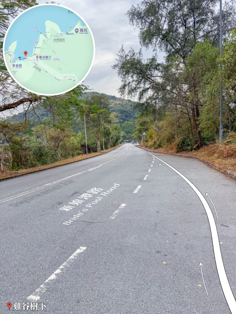
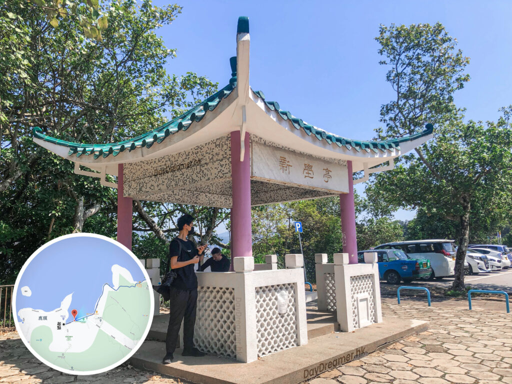
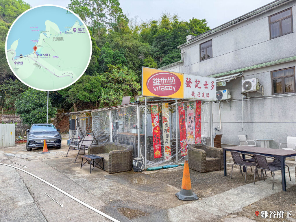
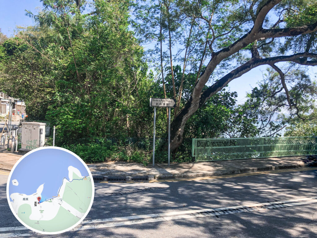
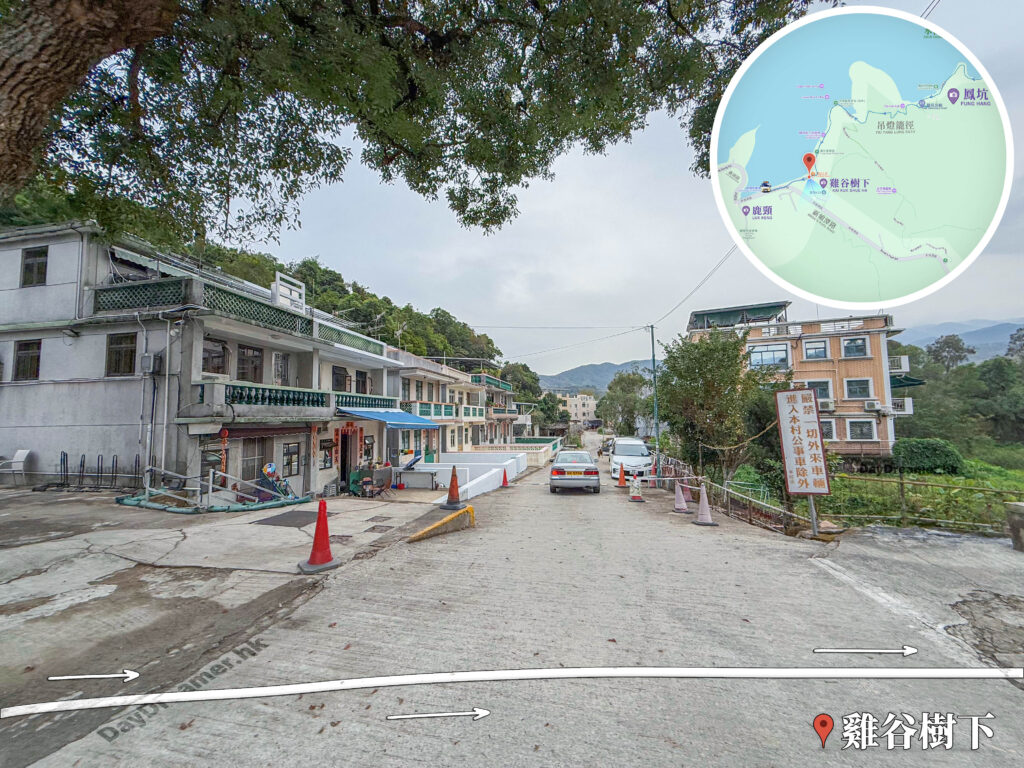
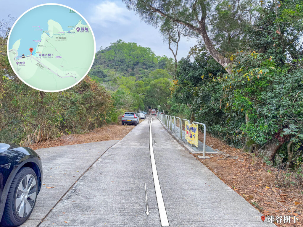
這張照片拍攝於香港新界東北的雞谷樹下路段。畫面中央為一條寬敞平坦的混凝土道路,順着地勢延伸,地面繪有帶箭頭的白色引導線;道路左側停放着車輛並有草木覆蓋的山坡,右側設有金屬安全欄杆與黃色警告橫幅,背景為翠綠的山巒與樹林。畫面左上角疊加了顯示雞谷樹下與周邊路徑位置的圓形導覽地圖,右下角標註「雞谷樹下」地標,為遠足者提供極具路況參考價值與現場環境對照的實景檔案。地名由來: 據傳『雞谷樹下』的名字與當地地形或植物有關。該村由曾氏(客家人)建立,與鄰近的【鳳坑村】互有淵源。
📷 相片參數
香港地點:
Tai Long Wan Campsite
Penis Rock
Po Lin Monastery
Sham Chung Manor
麥景陶碉堡(礦山)
Forbes Street Stone Wall Trees
Lugard Falls
Sham Chung Grassland
法藏寺
Robin's Nest Viewpoint
Sam A Chung Campsite
梅窩碼頭
Aqua Pearl
Wisdom Path
Fan Lau Stalagmite
MacIntosh Fort Kong Shan
Kadoorie Farm and Botanic Garden
三椏涌營地
Shui Long Wo Star Lookout
Kau Ling Chung View Compass
馬鞍山郊野公園燒烤場
The Big Buddha / Tian Tan Buddha
A Kung Kok Lookout
Old Victoria Hospital Maternity Block
Penis Rock
Po Lin Monastery
Sham Chung Manor
麥景陶碉堡(礦山)
Forbes Street Stone Wall Trees
Lugard Falls
Sham Chung Grassland
法藏寺
Robin's Nest Viewpoint
Sam A Chung Campsite
梅窩碼頭
Aqua Pearl
Wisdom Path
Fan Lau Stalagmite
MacIntosh Fort Kong Shan
Kadoorie Farm and Botanic Garden
三椏涌營地
Shui Long Wo Star Lookout
Kau Ling Chung View Compass
馬鞍山郊野公園燒烤場
The Big Buddha / Tian Tan Buddha
A Kung Kok Lookout
Old Victoria Hospital Maternity Block
香港地方: