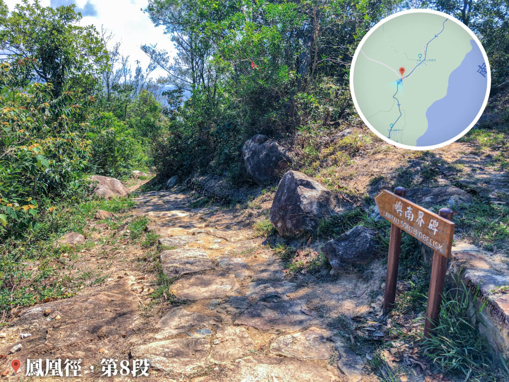
The South Lantau Obelisk, erected in 1902, is one of the historical boundary markers on Lantau Island, Hong Kong, signifying the lease of Lantau Island to Great Britain. In 1898, the Qing Empire and Great Britain signed the Convention for the Extension of Hong Kong Territory, leasing the New Territories—including Lantau Island—to Britain for 99 years. In 1902, British Forces Major Larymore led the naval vessel HMS Sandpiper to Lantau Island to erect two granite obelisks, one in the north and one in the south. The South Lantau Obelisk is situated in Kau Ling Chung, with its base inscribed with the longitude 113°52′ E, clearly showing the boundary lines of the leased New Territories.
📷 相片參數
Camera:
Lenses:
Keywords:
Subjects:
Location:
District:
Area:
香港地點:
深涌碼頭
Mount Davis Service Reservoir – Temporary Garden
太平山獅子亭
狗嶺涌營地
Penis Rock
天壇大佛
黃泥涌水塘公園
Robin's Nest Viewpoint
Lin Ma Hang Mine
心經簡林
水浪窩觀星台
蝴蝶山太極園
寶蓮禪寺
Aqua Pearl
Kau Ling Chung Campsite
鞍山探索館
Chevalier Garden
Uptown Plaza
Cheung Pui Tau Sky Pool
Lung Ha Wan Stony Beach
Loi Kee Store
大埔墟專線小巴總站
Fat Jong Temple
嘉瑜園
Mount Davis Service Reservoir – Temporary Garden
太平山獅子亭
狗嶺涌營地
Penis Rock
天壇大佛
黃泥涌水塘公園
Robin's Nest Viewpoint
Lin Ma Hang Mine
心經簡林
水浪窩觀星台
蝴蝶山太極園
寶蓮禪寺
Aqua Pearl
Kau Ling Chung Campsite
鞍山探索館
Chevalier Garden
Uptown Plaza
Cheung Pui Tau Sky Pool
Lung Ha Wan Stony Beach
Loi Kee Store
大埔墟專線小巴總站
Fat Jong Temple
嘉瑜園
香港地方: