Skip to content
Home
Journal
About
Contact
中文 (香港)
English
Home
/
【Hiking • 022】New Territories Northeast Ancient Villages Hike: Lai Chi Wo . So Lo Pun . Yung Shue Au
/
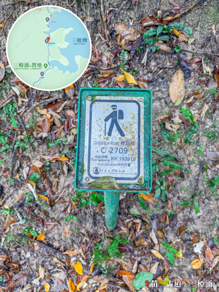
Distance Post C2709
Coordinates: KK 193 919.
其他圖片:
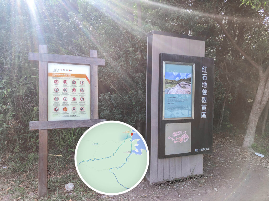
Red Rock Landform Viewing Area
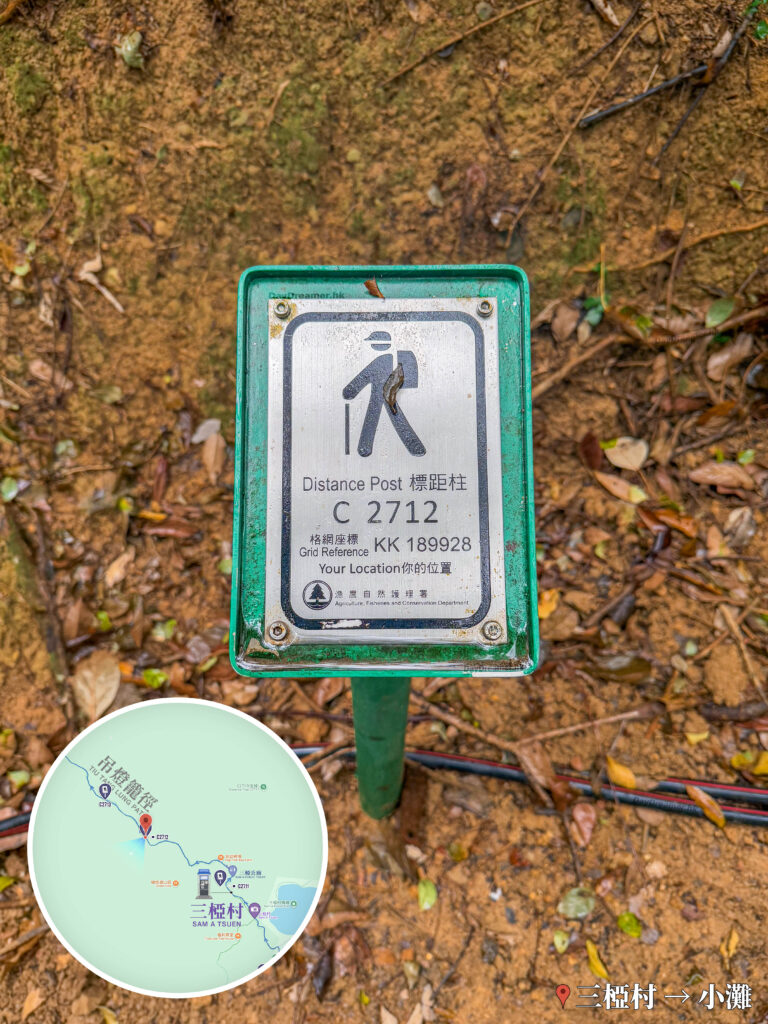
Distance Post C2712
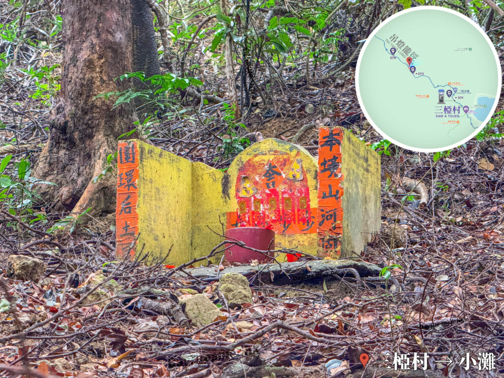
Sam A Village, Guardian of the Land, Pak Kung | 04
Sheung and Ha Miu Tin Information Board
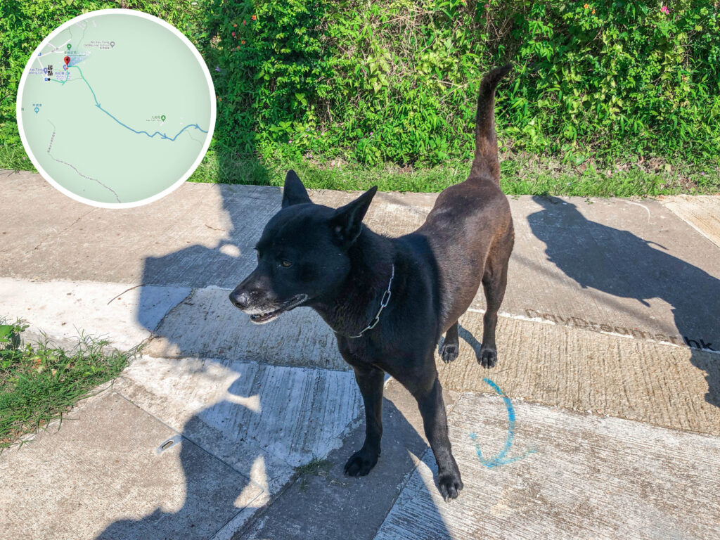
Village Boss, Little Black 《II》
Tai Tung Signpost
📷 相片參數
Camera:
Lenses:
Keywords:
Ancient Trail
,
Country Trail
,
Distance Point
Subjects:
Location:
Place:
Double Haven Country Trail
,
Miu Sam Ancient Trail
,
Sam A Chung
District:
Area:
New Territories
📸 此圖片拍攝自:
【Hiking • 022】New Territories Northeast Ancient Villages Hike: Lai Chi Wo . So Lo Pun . Yung Shue Au
📍 經緯度:
,
|
⛰️ 高度:
香港地點:
Forbes Street Stone Wall Trees
白腊士多
福利茶室
蓮麻坑礦場
分流石筍
黃大仙中心北館
Chevalier Garden
Hong Kong Reunification Pavilion
The Big Buddha / Tian Tan Buddha
小鳥回頭
Mount Johnston Lighthouse
Ngong Ping Piazza
九龍坳風雨亭
黃大仙祠前廣場
官門遺洞
利東商場
蓮麻坑鉛礦洞
深涌大草原
三椏涌營地
芝加哥大學香港校園
Wong Shek Pier
Greenery Garden
Sky Ladder Rock
天梯石
香港地方:
Tong To
Kwu Tung
Cloudy Hill
Yan Chau Tong Marine Park
Shek Pik Country Trail
Kei Lak Tsai
Fan Lau Sai Wan
Lin Ma Hang Country Trail
Wang Pui Road
綠蛋島
黃石樹徑
銀鑛灣
Lung Tam Shan
大浪坳
Mui Wo Town Centre
大潭郊野公園
烏蛟騰路
粉錦公路
Lung Ha Wan Road
白腊
MacLehose Trail – Section 6
Tai Tam Road
深涌灣
Robin's Nest Country Trail
香港景物:
Star Lookout
Island
Ship
Campsite
Fort
石碑
山谷
河
單車
Bauhinia Variegata
Rock Forest
涼亭
Dam
天梯
的士
Triangulation Station
山澗
資訊牌
MTR – East Rail Line
醫院
配水庫
越野電單車
Water
Lookout
←
Previous:
【Hiking • 022】New Territories Northeast Ancient Villages Hike: Lai Chi Wo . So Lo Pun . Yung Shue Au