Skip to content
Home
Journal
About
Contact
中文 (香港)
English
Home
/
【Hiking • 015】Fan Lau Fort . Kau Ling Chung . Tsin Yue Wan
/
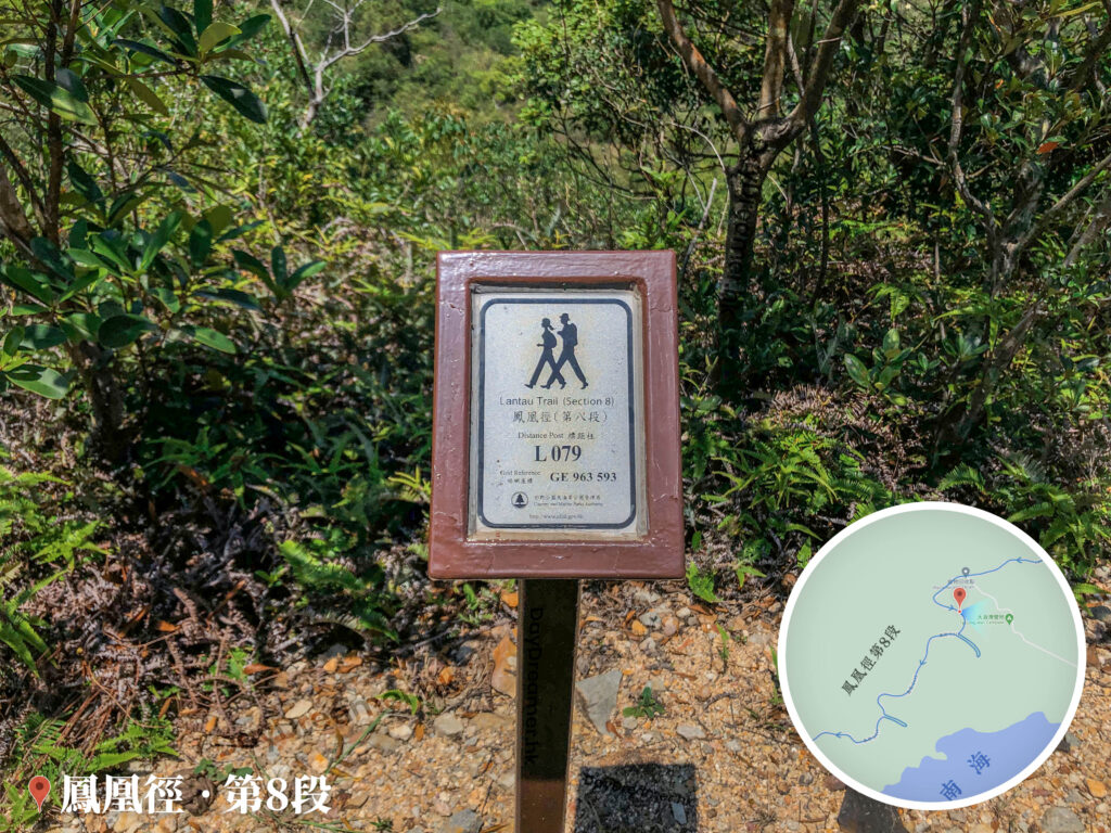
Distance Post L079
The grid reference here is GE 963 593.
其他圖片:
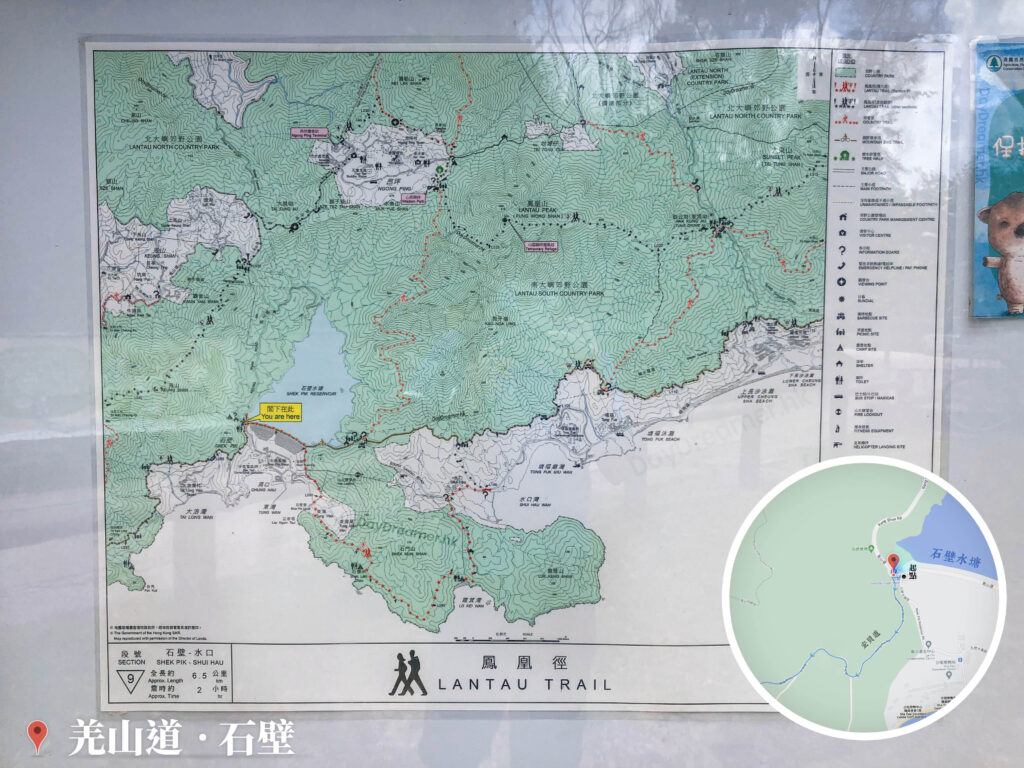
Lantau Trail – Section 9 (Shek Pik – Shui Hau), Map & Information Board
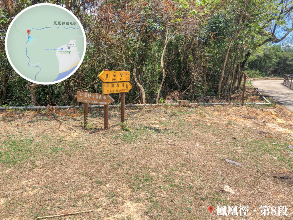
Shek Pik / Kau Ling Chung / Lung Tsai via Man Cheung Po, Signpost
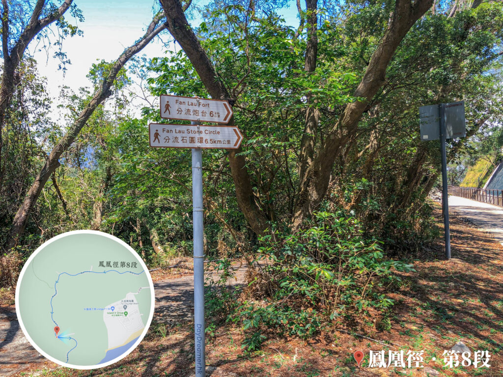
Fan Lau Fort / Fan Lau Stone Circle, Signpost
Lantau Trail – Section 8 《II》
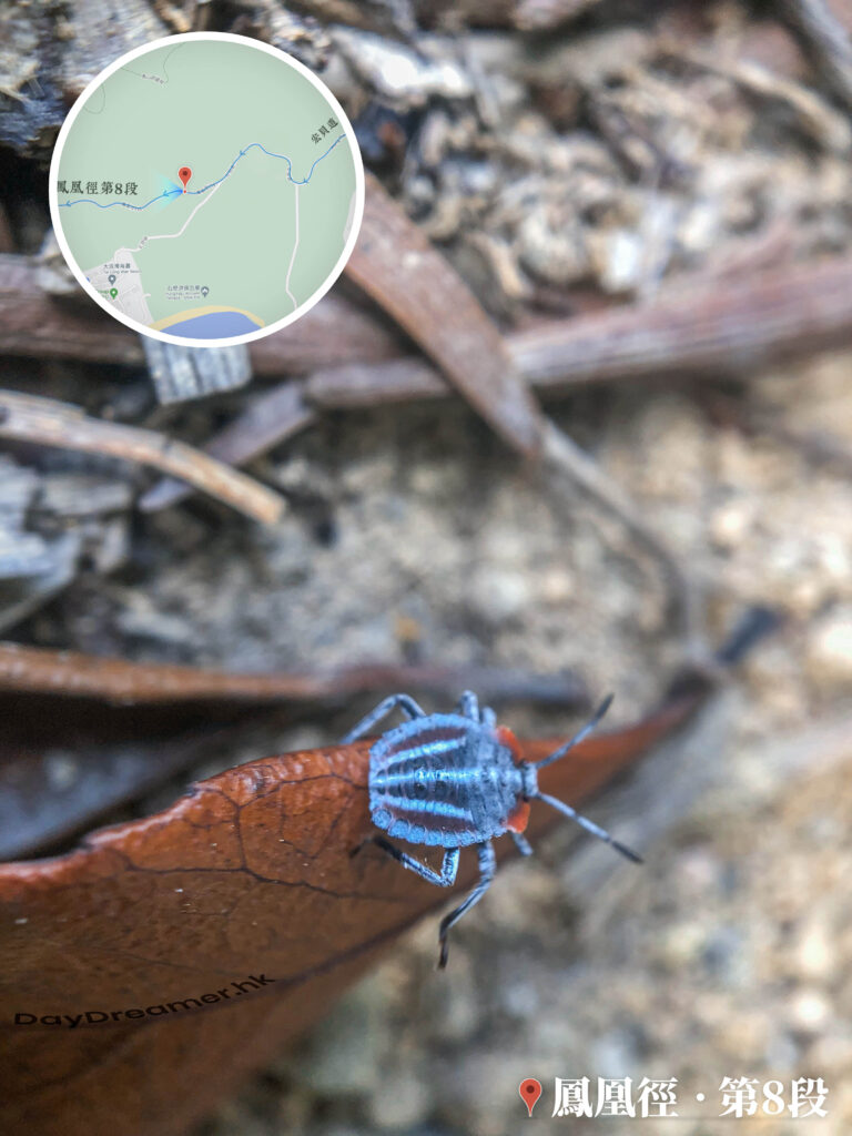
Ladybug 《I》
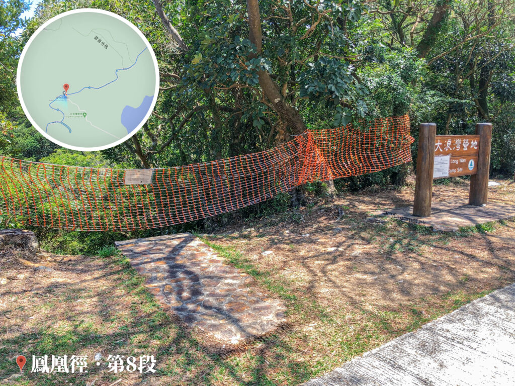
Tai Long Wan Campsite 《I》
📷 相片參數
Camera:
Lenses:
Keywords:
Distance Point
,
Lantau Trail
Subjects:
Location:
Place:
Lantau Trail – Section 8
District:
Lantau Island
Area:
Islands District
📸 此圖片拍攝自:
【Hiking • 015】Fan Lau Fort . Kau Ling Chung . Tsin Yue Wan
📍 經緯度:
,
|
⛰️ 高度:
香港地點:
Ngong Ping Piazza
天梯石
法藏寺
Lung Ha Wan Kite Flying Area
龍蝦灣石灘
The Bird Rock
Po Lin Monastery
舊域多利醫院產科大樓
馬鞍山郊野公園燒烤場
松林炮台
黃泥涌水塘公園
Tsin Yue Wan Campsite
富安花園
Ma On Shan Mining Heritage Centre
標尖角觀景台
Ap Lei Pai Tombolo
Mount Davis Service Reservoir – Temporary Garden
甘道兒童遊樂場
Lugard Falls
昂坪廣場
Pinewood Battery
紅花嶺觀景台
The Big Buddha / Tian Tan Buddha
赤徑碼頭
香港地方:
Shatin Pass Road
南大嶼郊遊徑
Findlay Path
Ap Lei Pai
水浪窩
分流村
Wan Chai Gap
南生圍
Pak Fu Shan Path
沙田坳道
Mount Davis Road
Wilson Trail Section 9
Tai Po Tau
Lantau Trail – Section 8
紅花嶺郊遊徑
夏力道健身徑
金山郊野公園
紅花嶺郊野公園
Mui Fa Ancient Trail
紅石門徑
大美督村
Mui Tsz Lam Road
撿豬灣
蚺蛇坳
香港景物:
纜車
Plant
公廁
廟宇
Fort
School
竹林
Mountain
健身徑
地圖
Soccer Pitch
Family Walk
紅綠燈
營地
Star Lookout
Bus
Rock
飛機
Traffic Light
醫院
Aeroplane
單車
魚排
Beach
←
Previous:
【Hiking • 015】Fan Lau Fort . Kau Ling Chung . Tsin Yue Wan