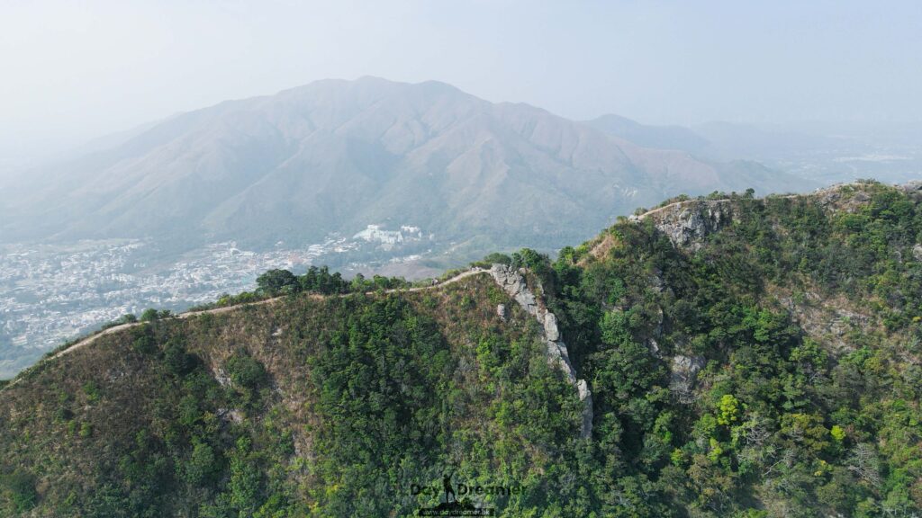
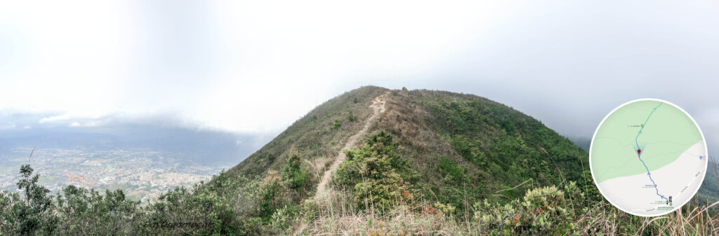
Tai To Yan is a mountain in Hong Kong located within the Lam Chun Country Park in the northern part of the New Territories. Standing at a height of 566 meters at its main peak, it spans across the North District, Tai Po District, and Yuen Long District. Both sides of the ridge are flanked by cliffs or steep slopes, resembling a knife with its blade facing upwards, which gives the mountain its name. There are two major peaks: the northern sub-peak is called “Pak Tai To Yan,” while the southern main peak is officially named “Tai To Yan.” To distinguish between the two, the main peak is often colloquially referred to as Nam Tai To Yan.
📷 相片參數
Camera:
Lenses:
Keywords:
Subjects:
Location:
Place:
District:
Area:
香港地點:
春風亭
Penis Rock
甘道兒童遊樂場
Sham Chung Manor
昂坪廣場
白腊士多
Loi Kee Store
龍蝦灣石灘
Cham Shan Monastery
Coombe Road Children’s Playground
黃大仙祠前廣場
白沙澳青年旅舍
Fat Jong Temple
Wong Tai Sin Temple Square
小鳥回頭
三椏涌營地
Mount Davis Service Reservoir – Temporary Garden
麥景陶碉堡(礦山)
Lung Ha Wan Kite Flying Area
馬鞍山郊野公園燒烤場
西貢碼頭
怡林閣
Kau Ling Chung Campsite
黃泥涌水塘公園
香港地方:


