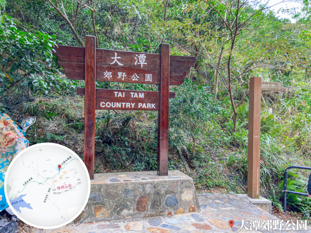
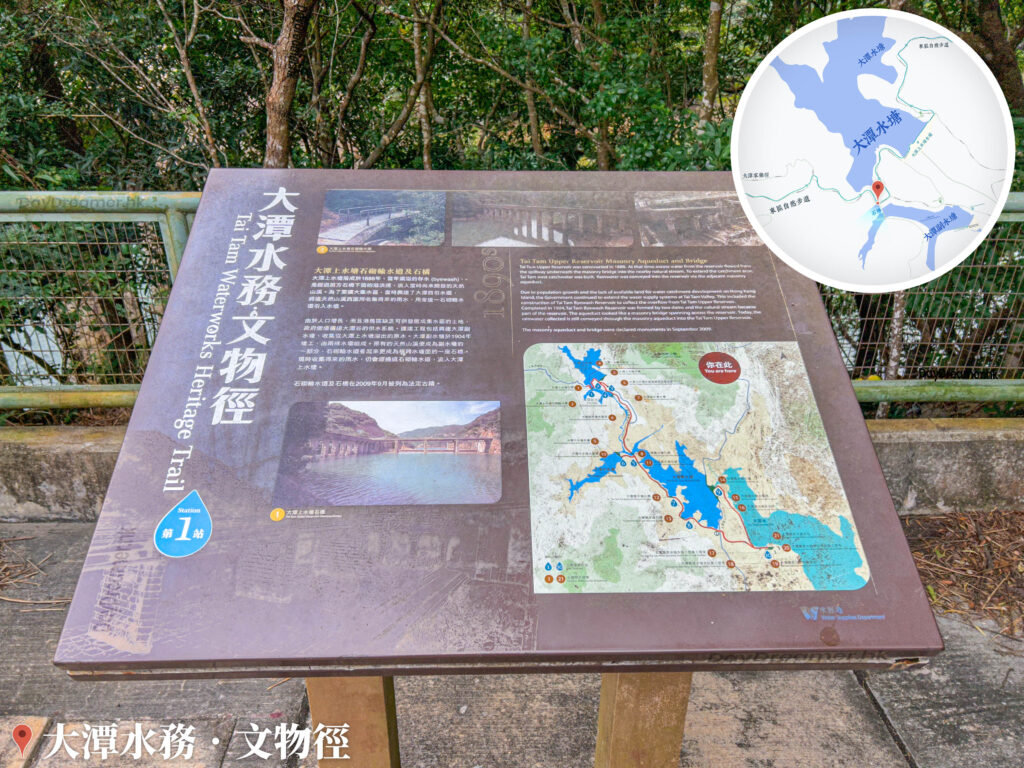
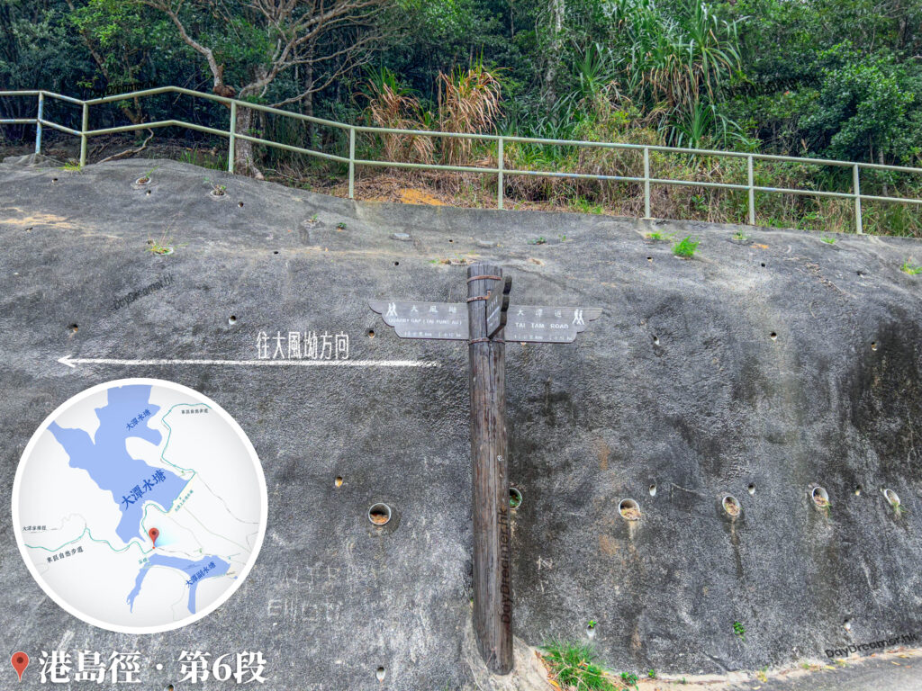
Continuing our 『Cross the Frog 🐸 Journey』 from The Peak Galleria and walking about 7 kilometres, we arrived at Tai Tam Country Park. Tai Tam Country Park is a country park located in the eastern part of Hong Kong Island, covering an area of about 1,315 hectares, which constitutes roughly one-fifth of Hong Kong Island’s total landmass. Designated on October 28, 1977, it stretches from Jardine’s Lookout in the north across a continuous chain of hills down to the Twins range in the south, bounded by Stanley Gap Road. It reaches Wong Nai Chung Gap to the west and faces Tai Tam Road to the east. The park encompasses multiple mountain peaks, including Jardine’s Lookout, Mount Parker, Mount Butler, Mount Violet, Tai Tam Tuk, Cheung Lin Shan, the Twins, Lo Fu Shan, Kwai Shan, and Ma Hang Shan. The park is also home to the Tai Tam Reservoirs, where the walking paths are wide and easy to navigate, surrounded by beautiful scenery and lush, dense woodlands. In contrast, the trails looping around Mount Violet, the Twins, and Lo Fu Shan are relatively rugged. Additionally, the park features the famous Sir Cecil’s Ride, which connects Wong Nai Chung Gap with Mount Parker Road.