
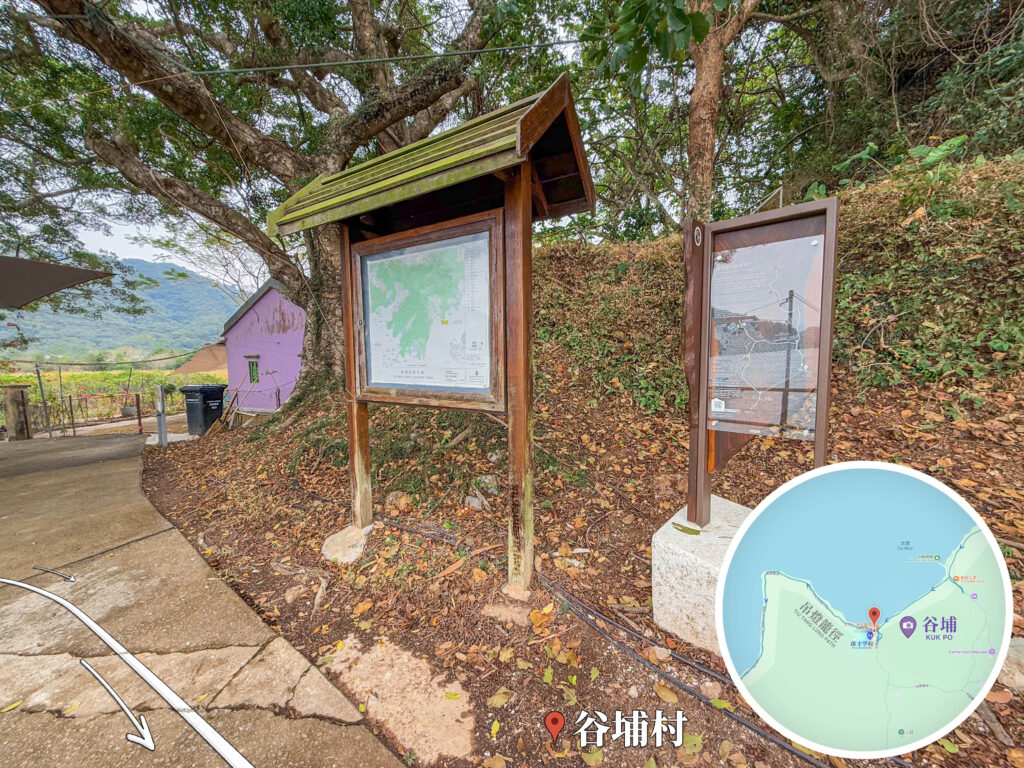
This is the entrance to Kuk Po Village, which also serves as the info hub for Kuk Po. The larger wooden board on the left is the 《Map Notice Board》 showing the Plover Cove Country Park map, highlighting the area’s complex network of ancient trails. The board on the right with the circular map inlay focuses on the 《Tiu Tang Lung Trail》. Tiu Tang Lung is the highest peak around here, offering a killer bird’s-eye view over the whole of Double Haven (Yan Chau Tong). The striking purple building in the background is a local landmark, 《Uncle Sung’s Shanshui Tofu Pudding》 (*Sung Bak Shan Shui Tau Fu Fa*). It really pops against the lush green woods and fallen leaves, making it a popular meetup or pit stop for hikers.




📷 相片參數
📸 此圖片拍攝自: 【Hiking • 022】New Territories Northeast Ancient Villages Hike: Lai Chi Wo . So Lo Pun . Yung Shue Au
- 📍 經緯度: ,
- |
- ⛰️ 高度: