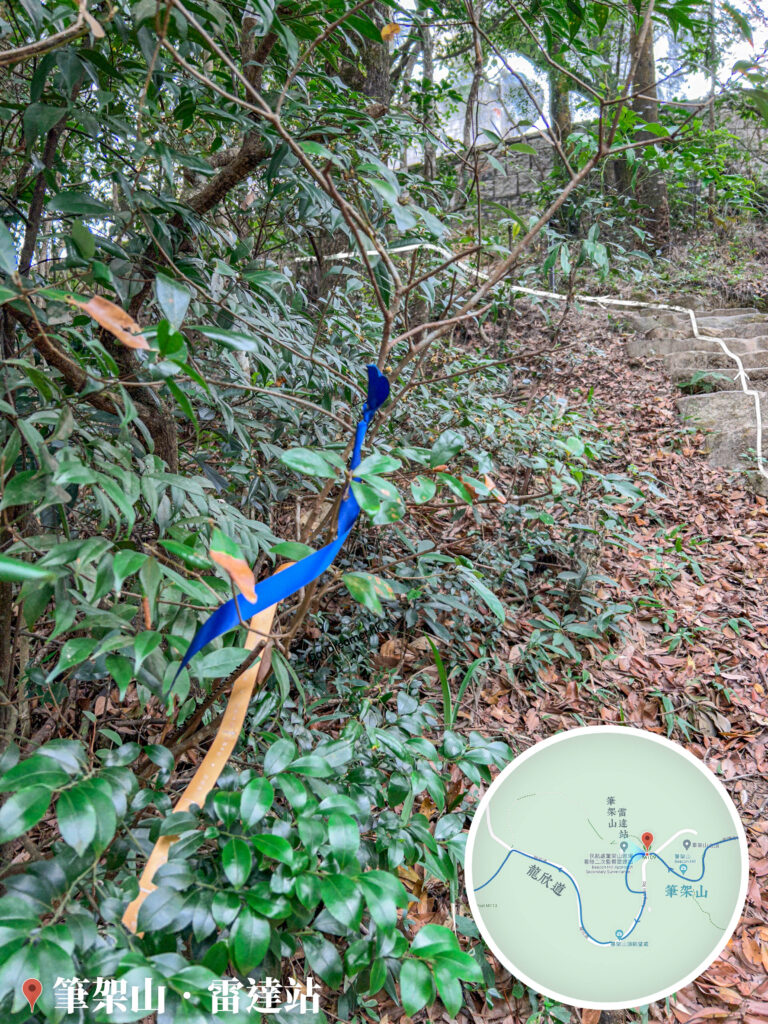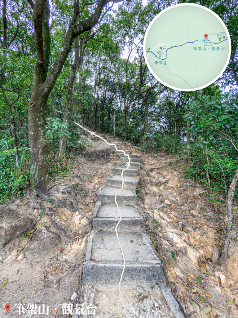
The Beacon Hill Radar Station is a Civil Aviation Department radar station responsible for assisting air traffic control at the airport. It is connected by a service road, Lung Yan Road, which provides convenient access for maintenance technicians heading up the mountain.
📷 相片參數
Camera:
Lenses:
Keywords:
Subjects:
Location:
District:
Area:
香港地點:
Lung Ha Wan Kite Flying Area
鴨脷排連島沙洲
Wisdom Path
東山法門
Old Victoria Hospital Maternity Block
二澳碼頭
Smithfield Market and Cooked Food Centre
東壩涼亭
Ma On Shan Mining Heritage Centre
The Peak Lions Pavilion
Penis Rock
Fook Lee Tea House
黃泥涌水塘公園
香港回歸紀念亭
紅花嶺觀景台
Loi Kee Store
The Peak Galleria
Lin Ma Hang Mine
Uptown Plaza
Ngong Ping Piazza
狗嶺涌營地
昂坪廣場
松林炮台
Temple Mall North
香港地方:
彌勒山郊遊徑
Wong Leng
Fan Kwai Tong
Wong Nai Chung Reservoir
Hok Tau Reservoir
Nui Po Shan
Clear Water Bay Road
大水坑
Shan Tsui Village Road
Tai Po Tau
Lantau Trail – Section 1
港島林道
Kau Ling Chung
汀角路
Pat Sin Leng
南生圍
Chek Keng
Kowloon Pass
Double Haven Country Trail
Nei Lak Shan Country Trail
MacLehose Trail – Section 6
西沙路
砵甸乍山